Travels with Ralph

The journey of a thousand kilometres begins with a roll of the wheels

This is the story of Ralph and his owners as they travel Africa. Ralph is a 2018 Toyota Fortuner in near standard trim with very few modifications, other than adaptations to his packing space and the kit he carries. His owners, Andrea and Jeremy plan to explore South Africa, Namibia, Botswana and Mozambique. To visit distant places, meet new people and experience the southern continent of Africa whilst reporting their journey with photographs and stories.

They plan to commit their experiences to coffee book format whilst examining the development and progress of the New South Africa in rural regions and to comment on the prevailing and ongoing disparity between wealthy and poor by focusing on small towns and outlying 'dorps' with specific reference to demographic barriers and ongoing segregation.

About RALPH & THE JOURNEY image

Trip Reports 

12Nov

Trip #6 Kromrivier and surrounds in the Southern Cederberg.


TRIP REPORT – Kromrivier – WESTERN CAPE - INLAND REGION – 3, 4 , 5, 6 November 2023 

Departing late morning after a final brief to Marianne, our house-sitter for this trip, Ralph headed out on the N1 using the Toll Road to head to our first proposed stop at Op-Die-Berg, via Worcester and the Ceres. The intention was to fuel up there, lunch and visit a town neither of them had been to before. Jeremy had also planned to try and renew his SA Passport at the temporary Home Affairs Office. (just to see if the system actually works beyond the main city centres).


Arriving at Op-Die-Berg Ralph was filled up at the local co-op and Andrea and Jeremy wandered into the adjoining store to enquired about a good spot for lunch. They were directed to a small coffee establishment with a difference... The local store was a treat of hardware items and excellent pricing, from tools, to gumboots and everything in between to provision the local farming community.


The Wonderlik Restaurant was truly "wonderful", the large hangar was divided into 3 sections comprising the restaurant seating area, loosely sectioned off by antique cupboards and book case room dividers from the farm machinery and new sales tractors. A further sliding divider hid the workshop from view but the smell of oils grease and diesel were apparent. Service was prompt, the coffee potent and prices as only found in the Platteland. It was a remarkable place of interest, historical features and a working and sales establishment adding to its uniqueness. The Owner's interests came through in the well-stocked library, wooden and gut Slazenger and Dunlop tennis rackets and classic vehicles most notably a 50's era Holden Monaro Fastback, in left-hand-drive.    


See full trip report...

18Aug

Trip #5 - Biedouw Valley Wegbreek and Flower Trip. 

TRIP REPORT – BIEDOUW VALLEY – WESTERN CAPE - INLAND REGION – 18, 19 & 20 August 2023 

Departing after lunch from the CBD, Ralph headed out on the N1 before veering north for the N7, with the first break planned for a quick coffee stop at Piketberg. The truck stop boasted some new welded art made of scrap metals with a distinct Afrika Burn theme to the works.

Following a quick water stop Ralph settled at the national speed limit on auto cruise as they left PIketberg and headed for the Citrusdal area and beyond to Clanwilliam where a quick stop was planned for wood before climbing the Pass into the rocking crannies of the Cederberg range with recollections of the snow encountered on their last trip back from this area. 

The climb and descent over the Pakhuis Pass along the R364 reminded us of past numerous previous stay overs, through the craggy rock formations surrounding Louis Leipoldt's grave site and on to Engels Mans se Graf (Englishmans Grave), indicating the turn off to the right to follow the gravel road through the Biedouw Valley and on to the Wegbreek accomodation.

The breathtaking summit revealed the beauty of the valley below with its splendid carpets of orange, yellow, blue and purple hues, whilst the descent revealed 3 bat eared foxes scampering down the road ahead.

After 18 kilometers of good gravel road they turned right at the main entrance to Wegbreek and took the rough, sandy, rocky rutted steep descent to cross the Sand River and enter the campsite. After signing in with Hannelie, they made their way to Cabin 4 overlooking a small lilly pond and unpacked. 

In the evening following a braai they settled in for an early night due to loadshedding. The absence of internet precluded the usual streaming TV comforts. And reading and emergency lighting became the natural order.

Waking before the sunrise the plan was to explore the waterfall area to allow the sun time to get up over the valley before returning there late morning and then exploring east towards Enjo Farm and then South to Wupperthal. The waterfall marks the general area where the river ceases to flow all year round. Just the first 15 or so kilometres offering water all year round. The Waterfall and rapids run through a deep rocky gorge which was most unexpected in the dry arid surrounds. After the waterfall visit they got back into Ralph and headed out to the Biedouw Valley to time their arrival with the sun being high enough to have coaxed the blossoms to show their full colour and beauty. Arriving at the valley they came across some 20 other vehicles with the same time planning in mind. They sought out a quiet spot and sent Mavicus II up into the blue sky to take some images and videos of the splendour on show. They had a short brunch picnic before exploring other nearby areas to maximise the the photo and video capture of the flowers. 

They then decided to head out to explore the Sandriver and Enjo Farm and Campsite areas. The road following the east west route of the Sandriver to Enjo was choppy in places with a surprising amount of traffic visiting the area. The entrance to the campsite and farm, greeted with a small cluster of Quiver Trees and after entering the gate Andrea and Jeremy went to greet the restaurant management and catch up on messages with the use of the complimentary wifi and some delicious farm style scones. 

After a welcome break and a perusal of the campsite Ralph turned back to retrace his wheel tracks through the numerous farm gates to return to Biedouw Valley. Here they turned left and headed south to explore the road to Wupperthal via the Kouebergpas, stopping at the first settlement of farm folk before the descent into Wupperthal proper.

After some photos and general exploration of the area, they headed back in the late afternoon sun to return to Biedouw Valley Wegbreek. By now, the road leading to the accommodation was taking a beating from heavy overland vehicles pulling offroad trailers. Jeremy considered that some of the lighter duty AWD sedans were going to struggle to climb back out of Wegbreek to return to the main route. 

On returning they decided to explore on foot to the south an area called, The Potholes. This natural rock formation is a few hundred meters square of slab rock leading to the river in which fascinating caves (with San Art), and bubbling underground streams that seem to have no source as they swirl and gurgle their way down the shallow valley to feed the main river via a small tributary.

The next morning they were again greeted by Eskom's inability to provide power, so they packed and after greeting Hannelie, the owner, headed out to Clanwilliam for breakfast at the mall. 

After mid morning breakfast and fabulous coffee, they headed south along the N7, via Piketberg again towards home.

More Images

Summary Aspects:

Total Distance: 671 KM. 60 litres of diesel. 8.94 L/100km.

Mass: – 415kg of 675kg max GVM allowed.

Accommodation: Cabin 3 Days, two nights.

Itinerary: Short visit to explore the flowers of the Biedouw Valley.

Weather: Hottest at 23 degrees full sun, coldest 9 degrees with frost. Rainfall nil. Wind, light breeze, occasional in the evening.

Signal Comms and GPS: Using GPS working with coordinates due to spotty cellular coverage. No issues. No cell coverage over most of the valley and the accommodation area.

Forgotten items:  Forgot to take tea, goldilocks scrubber, charge cable for one phone, salt, pepper, meat spice and personal towels. Accommodation oven didn't work and 1 of the 3 plates was operational. No gas alternative.

Maps

18Jun

Trip #4 - Rivierzicht on the Breede River and day visit to Viljoensdrift and McGregor for a quick getaway before the winter rains set in. 

TRIP REPORT – RIVIERZICHT – WESTERN CAPE - INLAND REGION – 30 31 MAY & 1 JUNE 2022 

Departing at a leisurely 1130 Ralph headed up the N1 via the toll road and tunnel for Worcester. After a short coffee break, fuel up and allowing Blue to stretch his legs they headed on to destination Rivierzicht to be in time for some late afternoon exploration and fishing. A cabin with inside braai and fireplace had been booked on a winter mid-week special at R600.00 per night and they weren't expecting too many other folk at the camp site.

The cabin lived up to the usual expectations, furnished with all the of the necessary amenities and neat and clean as always. The fireplace turned out to not just be a welcome feature but a necessity to ward off the cold, especially after a short wade in the river... 

After unpacking Andrea and Jeremy set out the carp rod whilst working two bass rods on the northern river bank. Working was the operative word as underwater obstacles and an unwelcome breeze made accurate casting and retrieving a challenge. A few tangles later, one which necessitated a deep wade to retrieve an expensive lure in which the rapidly deepening river had a cold rush of water soak Jeremy through the top of his waders and they decided to give fishing up for game of soldiers.

 A hastily built fire inside the cabin helped to restore clothing whilst they walked the length and breadth of the campsite. It was completely uninhabited with no other brave souls even in the available cabins.

With the fading evening light Jeremy prepared the rods and tackle after the earlier tangle debacle. Hopefully the next day would yield a fish or two before they embarked on the river boat at Viljoensdrift pre-booked for midday.

In the evening following a braai they settled in to catch up their current Netflix series on the provided TV and free WiFi. Then a roaring fire was built to sustain some warmth in the cabin overnight.

At first light on Tuesday morning Mavicus II was sent up to survey the land and take some panoramic photos and video of the landscape. A clear day that needed the sun to bring some comfort for the planned river boat trip at Viljoensdrift Winery. After a few hours of not catching any fish, Blue and a few odds and ends were packed for the short trip east to embark on the Breede River boat trip. The Waze app directions were spot on and soon they were ready to embark on the boat ride, after borrowing some fairy weed and duck weed, from near the jetty and carefully packed to re-home in the pond at home.

There were few other folk on the boat trip and a peaceful easterly and then westerly (upstream), ride on a flat-bottomed outboard motored barge with picnic servings was the itinerary. 

On returning to the launch spot a large celebration birthday party was in full swing with some 60 something ladies', getting slowly hammered... Plan B - a round trip to McGregor was decided on and they set of west and then turned south to view this quaint town.

They took tea at Temenos, remarking on how utterly similar the town felt to Riebeeck Kasteel, right down to the detail of yellow Malmsbury dust in the light grey tar. 

Stopped in time and overshadowed by the massive NG Kerk. Ailed by the same poverty the both of these towns portray the disparity of poor farm labour living alongside wealthier creatives who have given up the city life and settled in smaller inland towns for the peace and quiet and simpler attractions of town and country living.

The last night called for another inside braai and large warming fire as the temperature dropped to 3 degrees and frost by Wednesday morning. Blue's water bowl had frozen over and a party of 3 brave souls who had come to camp in a small tent had to be admired for their fortitude. 

Ralph headed home after greeting the farmer on their way out back to Cape Town at 1015.

More Images

Summary Aspects:

Total Distance: 415 KM. 28 litre diesel. 6.74 L/100km.

Mass: – 420kg of 675kg max GVM allowed.

Accommodation: Cabin 3 Days, two nights.

Itinerary: Short visit to new places before winter sets in properly and to have some time out.

Weather: Hottest at 19 degrees full sun, coldest 3 degrees with frost. Rainfall nil. Wind, occasional gusty with wind chill on first evening.

Signal Comms and GPS: Using Waze for all trip planning due to main road use. No issues.

Forgotten items:  Forgot to take along scissors. Accommodation missing scissors.

Maps

21Mar

Trip #2 & #3 - Betty's Bay and Clanwilliam to celebrate Jeremy's 60th and to welcome brother Matthew back to South Africa for a few weeks.

TRIP REPORT – BETTY'S BAY – WESTERN CAPE - SOUTH WEST COAST REGION – 18 19 20 21 MARCH 2022 

Once packed Ralph set off for Betty's Bay with Jeremy, Andrea and Matthew to celebrate Jeremy's 60th Birthday over the long weekend. Apart from unattended broken traffic light in Somerset West delaying progress, the journey was travelled in lovely conditions with the Cape Peninsula and Gordon's Bay and Clarence Drive showing off scenic splendour. The plan was for Casey, Sasha and Luke to join on Sunday ready for birthday celebrations on Human Rights Day.

At Rooiels the wind made itself apparent but tempered a little on the approach to Betty's. Arriving at the house they quickly unpacked and found their way to the beach for a leg stretch. Later they headed off to Kleinmond to get some groceries and take in the harbour sites and look for fresh fish. With no fresh fish on offer the return journey took in the estuary and lower river of the Palmiet. Galjoen of a good plate size was being taken using pumped pink shrimp by some of the locals. Jeremy was delighted that this area had fish as previous attempts with plastic and chatterbait lures had been unsuccessful.

The children joined them on Sunday and a enjoyed leisurely day of short walks, frizbee and darts followed by a delightful dinner at Gnochi where the Michelin qualified chef pleased them all with his finely prepared fare. 

The 21st saw Jeremy opening his many and varied delightful gifts at the house before they all set off to the local Harold Porter Botanical Gardens to walk the River Path. The  evening saw a fish braai with a continued brisk north-westerly keeping the family out of the cold ocean, but the usual walk to our own river estuary was undertaken for some frizbee and rubber ball water-skipping. They packed after lunch and proceeded home to prepare for the Cederberg / Clanwilliam leg of Matthews stay.

CEDERBERG / CLANWILLIAM AT JAMAKA ORGANIC FARM CAMP SITE - NORTHERN WESTERN CAPE REGION - 24 25 26 27 MARCH 2022:   

Day 1 - Thursday 25th March:

With everything packed Ralph was brimming with supplies and necessities for the next leg. This was to be a lads only due to work commitments for Andrea and Sasha, and, all fishing gear accounted for, Jeremy, Matthew and Casey pulled away with Ralph at 1145, with the first stop to be a short drop-off in Malmesbury and then on to Riebeeck Kasteel to see Nanna and Poppas old farm house. The newly surfaced dual highway of the N7 was a smooth ride and after delivering the memory stick in town, Ralph pushed on to the Riebeeck Valley which heralded green and tree grown. The little town was quiet but they spotted the father and one son from the middle village who had grown older, but no less hardy through covid and the harsh life they lived. The old man was barefoot, pushing a wheel-barrow outside the Riebeeck Hotel. The Farm House had been jazzed up from its historic charm to display a bohemian cultural metamorphosis, fitting in perfectly with so may other properties in the tiny town of that valley. 

Leaving the Valley via Riebeeck West R317, Ralph was held up by extensive roadworks until rejoining the R27. A quick lunch stop at Piketberg Spur and they were on their way, over the Pakhuis Pass and down into the Ceres Valley before bypassing the Nieuwoudt Pass to provision at Clanwilliam, refuel, and, then approach Jamaka Campsite from the North to be greeted by "Mal Jannie" (complete with wild curly hair and his 'ultra kort PT broekie', during which Casey provided a running commentary on the river and his various practical study sites along the River. 

The view down on to the mirror-glass surface of the Clanwilliam Dam was stunning and the trip at this point was only marred by the massive disparity between the 'haves and the have not's' passing over the top of Clanwilliam Dam with the township on the left and the well-heeled holiday homes on the right. Ralph picked his way through litter and small children playing 'chicken' with his two tons.

Arriving at Cottage 1 the welcome shade of newly flourishing trees provided ample shade and the lads unpacked and filled the freezer with perishables. Then a quick drive down to the river to view the tented camp area, foofie slide and newly developed sites was undertaken. A paintball battleground had been established along with a kart track back at Reception. Jamaka was growing...

Day 2 - Friday 25th March: 

Following a good breakfast and leisurely start saw the lads travelling down river to the first Niewoudt Farm of Sakkie, and after entering the cow pastures Ralph parked up whilst the river and Casey''s Site One and the Waterfall were explored. Casey remarked on the turbid water quality but the Site 1 pool, revealed the presence of the necessary indigenous local fish species. A short hike up past the remote cabin and on to the cliffs and Waterfall area was followed by a short steep hike up to the secret rock art paintings left by San inhabitants thousands of years ago. Mavicus Dronus was then deployed to do further photographic analysis of the river north and south of our point as the foliage growth made further walking river exploration impossible. A quick trip back into Clanwilliam was necessitated by the freezer that had damaged all of the soft fruit and veg overnight. A plan was then made to run Ralph's fridge to save further freezing food damage. A sunset braai rounded of the eve before they turned in for an early night.

Day 3 - Saturday 26th March: 

Following an early start, the lads settled their permits and started the river hike in a southerly, upward direction to the source. The foliage and cover had grown extensively since the fires of 2018 and a new bridge and various upgrades to the forest campsite were being undertaken.  They stopped at the various Sites to check for fish and the clear river above the Algeria Campsite building works provided the GoPro with some excellent footage. Casey was delighted to find the upward migratory species further up than expected.

Following 2,5 hours of hike and returning to Algeria Forest Campsite, Ralph swung his nose southwards on the bricked road and headed for Mitchells Pass, Mount Ceder and Tolhuis. The brick road quickly gave way to gravel most of which was good with few corrugations. The road became narrower following the fork and the Tolhuis pass single route held splendid views of an oasis beyond its steep drop-offs. 


Casey showed them around and lunch was ordered from a kitchen with the most diverse group of South Africans under one roof that one could wish to meet. The car park presented with all manner and makes of Toyota vehicles, from single cab to Fortuner, to FJ and double cabs. Ralph felt very much at home with his Japanese cousins. 

On the return journey another short hike was undertaken to view the kopjes and 'Lot Se Vrou" - a stone formation in a desolate stony and rock-bound desert area.


Day 4 – 27TH March – Homeward bound via Nieuwoudt Pass, N7, Darling, R27, Veldrif, Blauwberg.

Ralph pulled away after greeting the host at 0915, heading west over the Nieuwoudt Pass and dropping down the valley over the very low Olifants River and onto the N7. They had decided on a different route home to avoid seeing more different sights and to avoid repetition. A steady pace of 115 kph passed quickly before turning off at Malmesbury to divert to Darling for an early lunch at Evita Se Perron. 

At a quiet lunch in the garden (the patrons packed into a matinee performance in the Theatre), the lads made the decision to head back directly via Grotto Bay and Tableview. The plan to fish in the 60 kilometer distant Voelvlei was scrapped due to the uncomfortable midday heat and the fact that fish tend to lay low at mid day. With lunch washed down with Berry Fruit Smoothie and feeling refreshed, Ralph pressed on to Grotto Bay, Table View and Blaauwberg so that Matthew could see how extensively the town and suburbs had grown over the past years.

Going through Tableview and Blaauwberg, Matthew remarked at how vastly the whole area had grown, from the beach front to back against the hills and beyond. Mini suburbs sprouting in between the now large suburb centres.

Arriving back in the early afternoon, Ralph was surprisingly clean apart from light surface dust compared to previous trips, and following the unpacking and removing the four unused fishing rods, they got down to downloading and sorting photos, GoPro Footage and drone videos.

Summary Aspects:

Total Distance: 1246 KM. 7.48 L/100km.

Mass: – 485kg of 675kg max GVM allowed.

Accommodation: Betty's Bay 3 Days, two nights. Jamaka Cottage #1.  4 days, 3 nights.

Itinerary: Jeremy’s Birthday, Matthews visit from UK, Visit to Harold Porter, hiking, star gazing, site-seeing of remote Cederberg region, experiencing historical culture and places, remoteness, Casey showing Matthew his practical study sites for his Doctorate and general vacation relaxation.

Weather: Hottest at 31 degrees full sun, coldest 14 degree. Rainfall nil. Wind, persistent NW in Betty's Bay, in Jamaka warm Southerly breeze every evening. Signal Comms and GPS: Intermittent to no coverage on most of the outback roads away from Jamaka. Navigation mainly via mobile phone using offline maps pre-loaded and further memory navigated by Casey who knew the various routes in the Cederberg intimately.

Forgotten items:  Scissors. Accommodation missing scissors. Note to self to keep up adaily diary to help remember the details of each day in a trip...

Route Maps 


31Aug

Trip #1 - Namaqualand

TRIP REPORT – NAMAQUALAND – NORTHERN CLANWILLIAM - WESTERN BIEDOUW VALLEY – WEST COAST REGION – 25 26 27 AUGUST 2021 Day 1 – Wednesday 25TH August – Outward bound from Cape Town to De Pakhuys Accommodation via Piketberg, Clanwilliam and De Pakhuys Pass: 

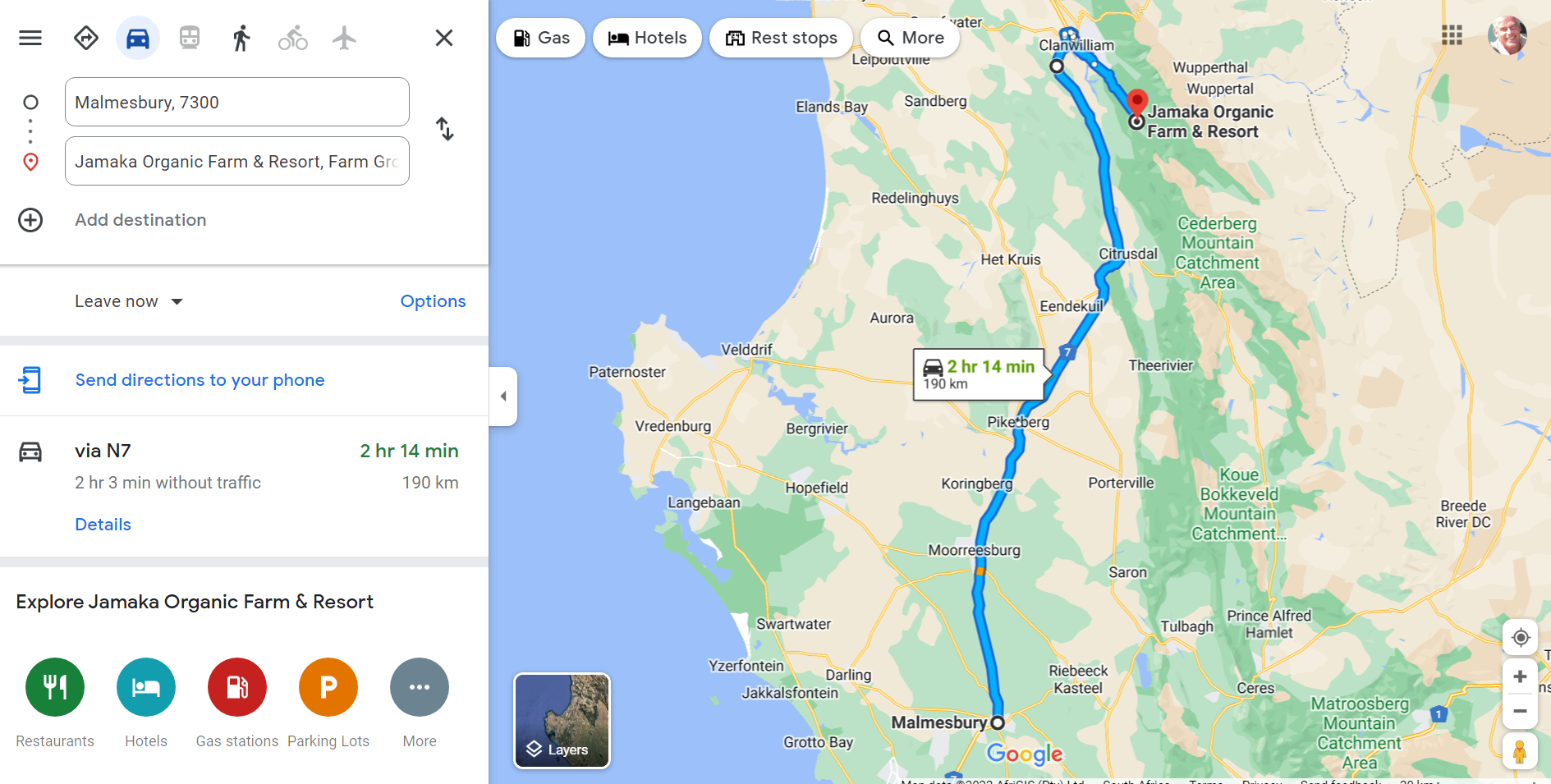
Leaving at the leisurely hour of 1000 AM, Ralph took a heading of due north via the N7 with a planned stop at Piketberg for a leg stretch and the excellent coffee at Bonjour where he took on a full tank of diesel. With a planned 2 hours ahead to our destination he took to the road again at midday via the Piekenierskloof Pass with its stupendous view to the South-East of the road so recently travelled. Heading towards Citrusdal we stopped for 15 minutes to allow for clearing of an accident scene. Ralph picked up the journey on cruise control (to avoid speeding fines), heading for Clanwilliam with the Olifants River and Clanwilliam Dam on our right. 

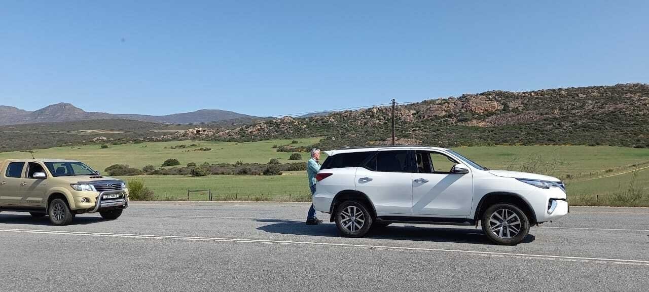
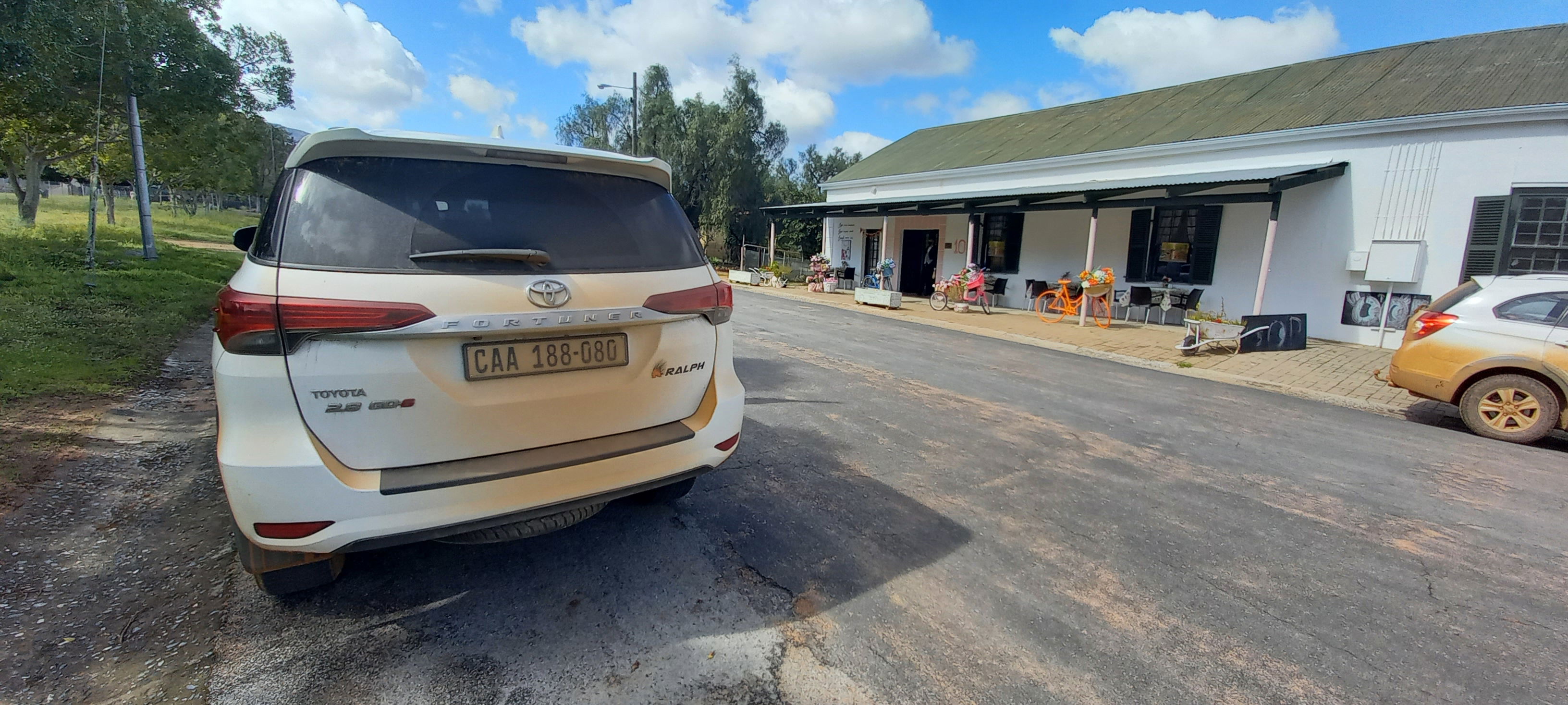
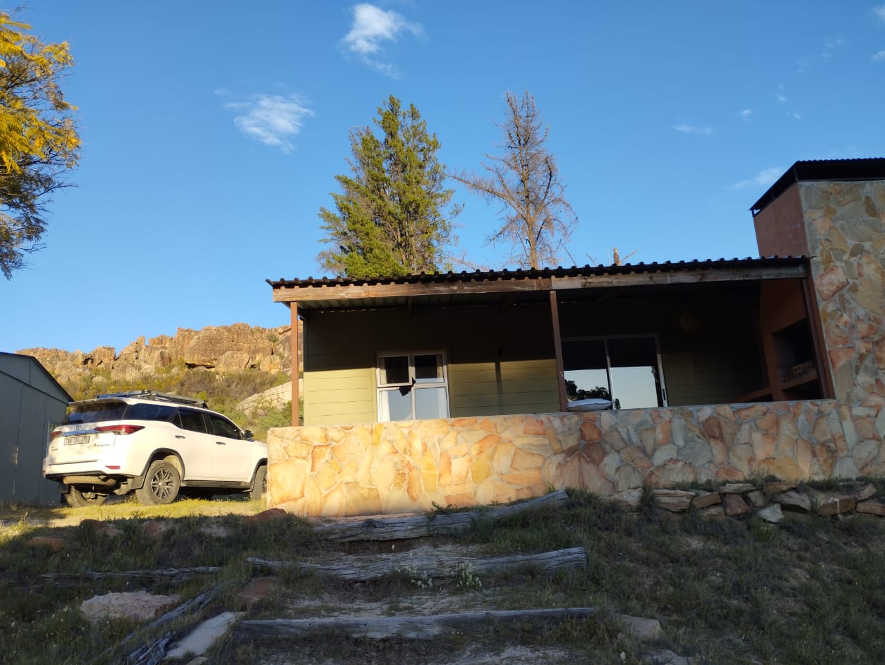
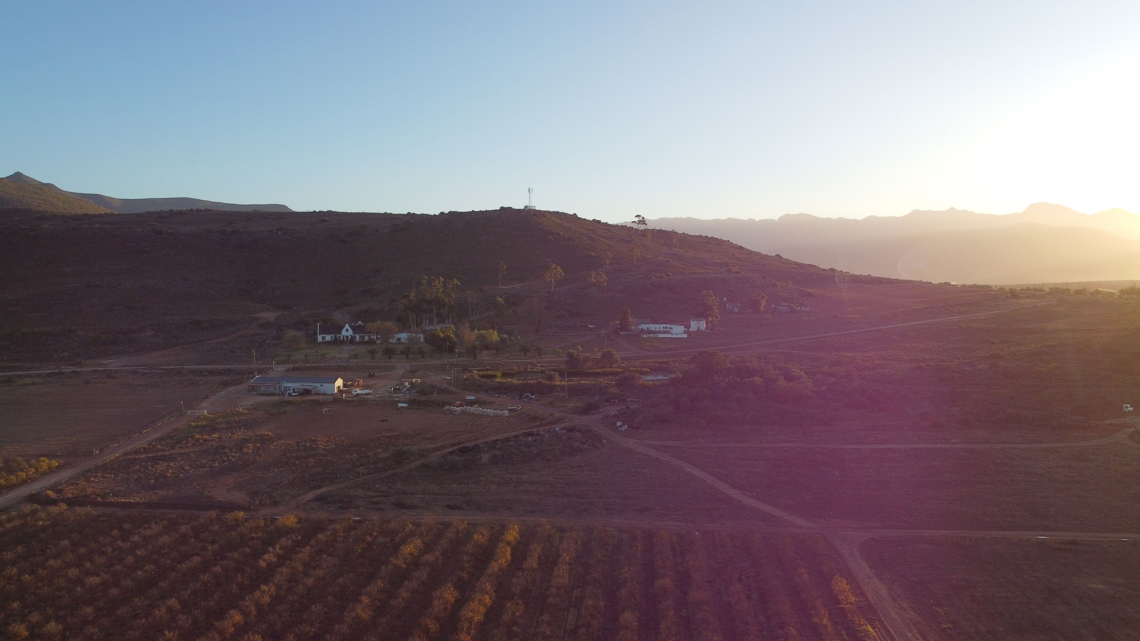
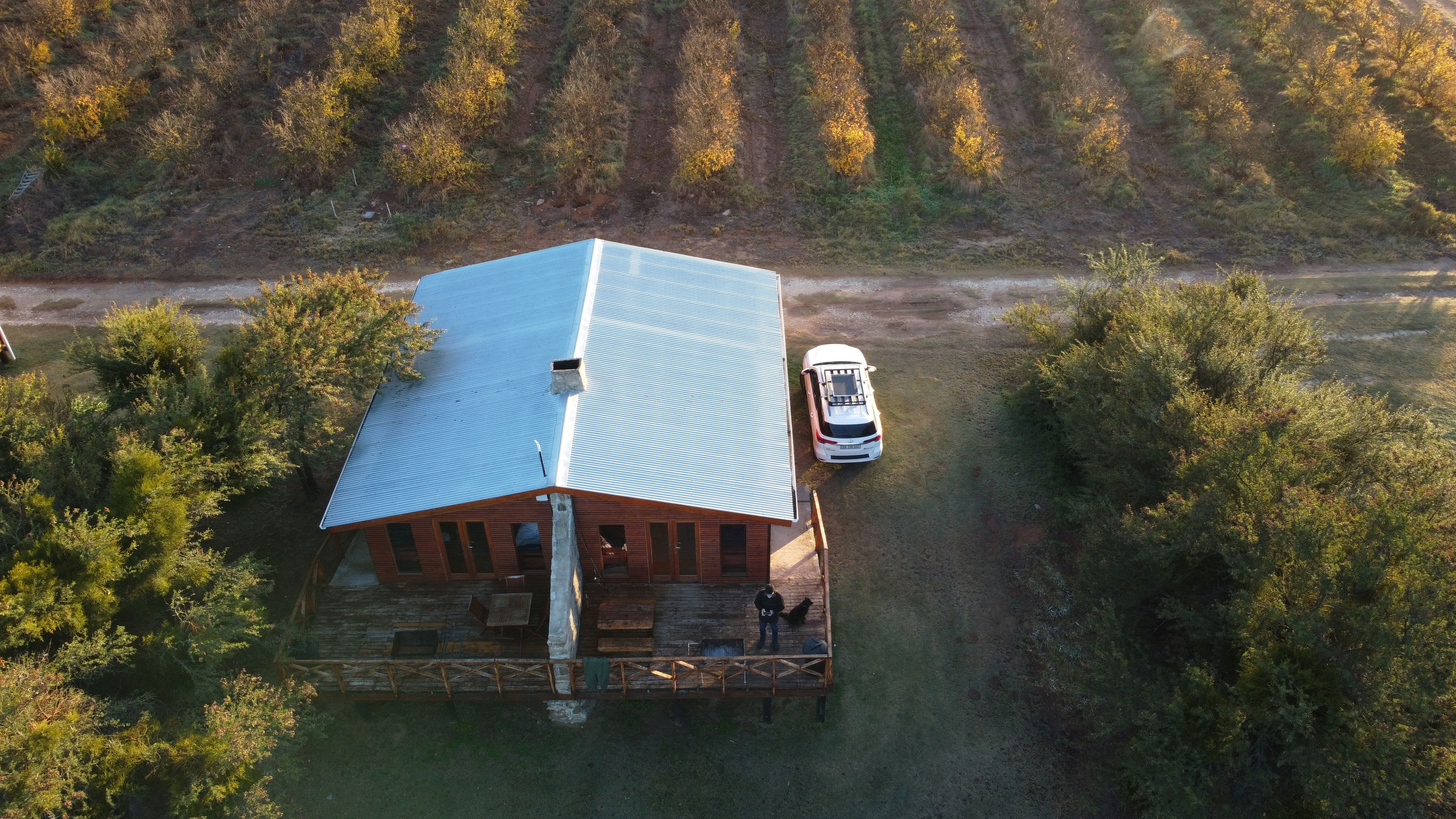
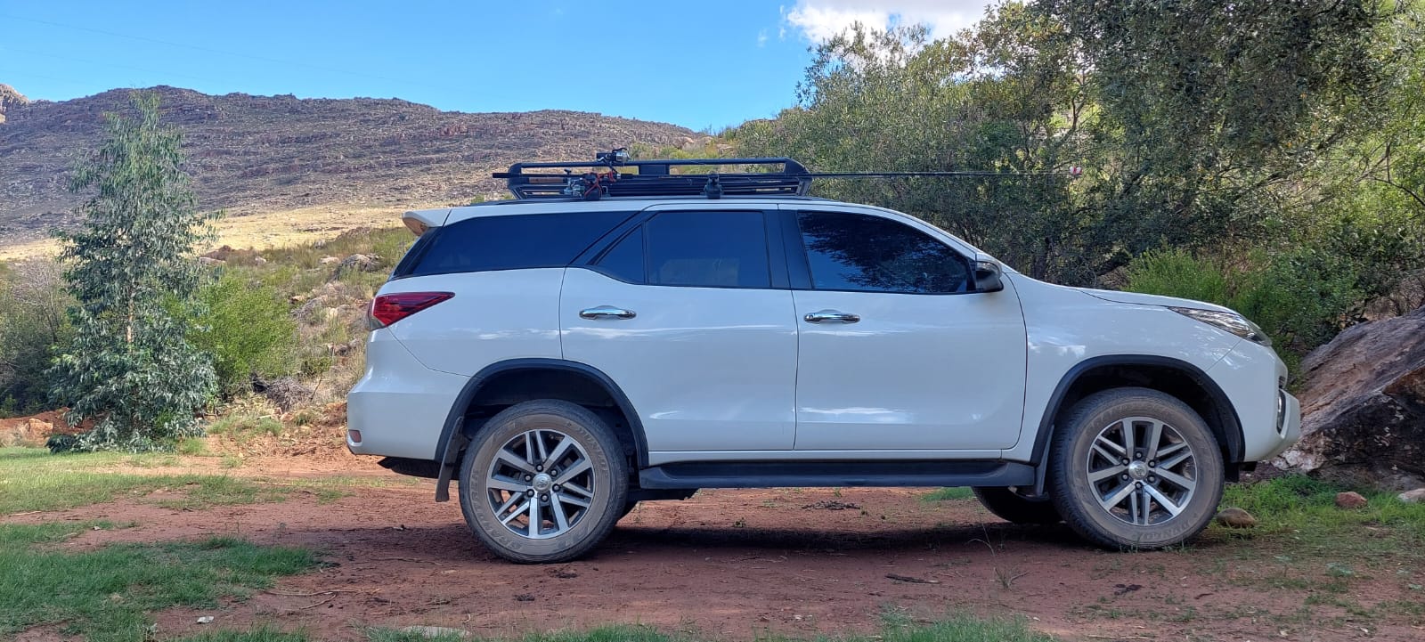
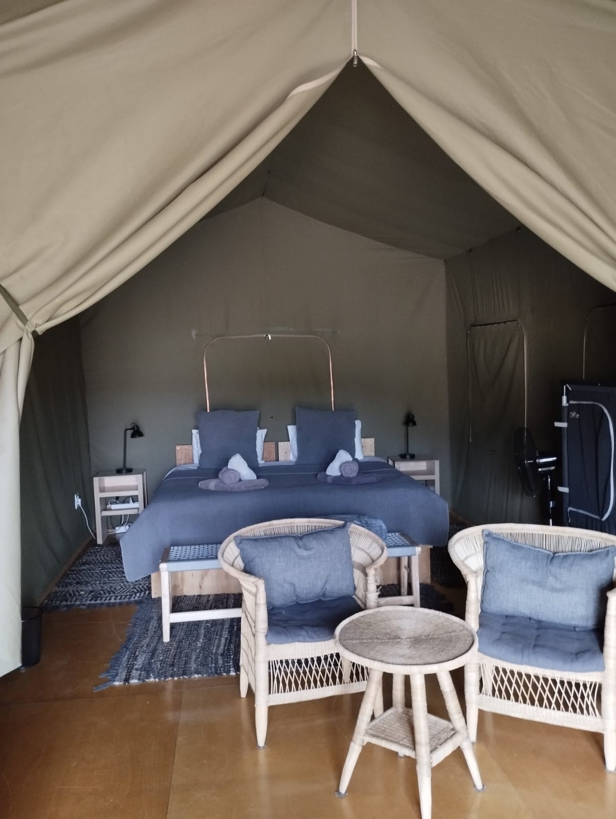
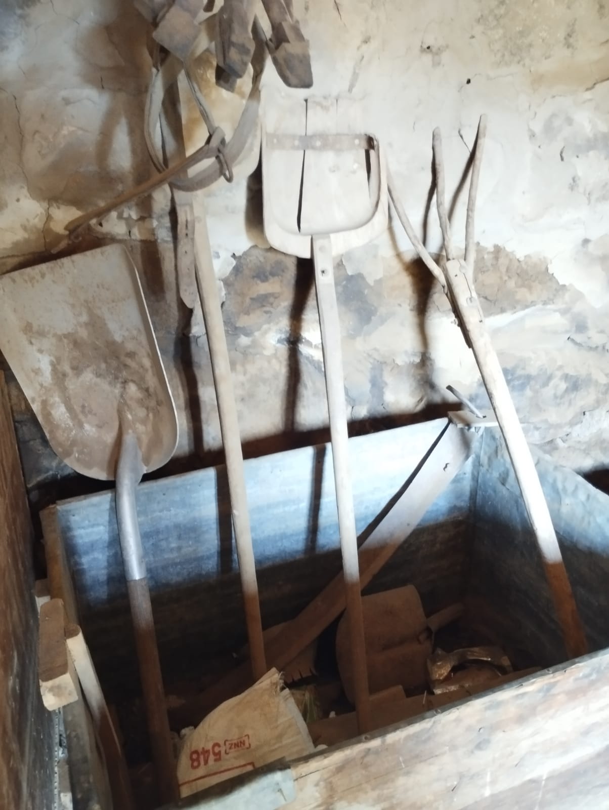
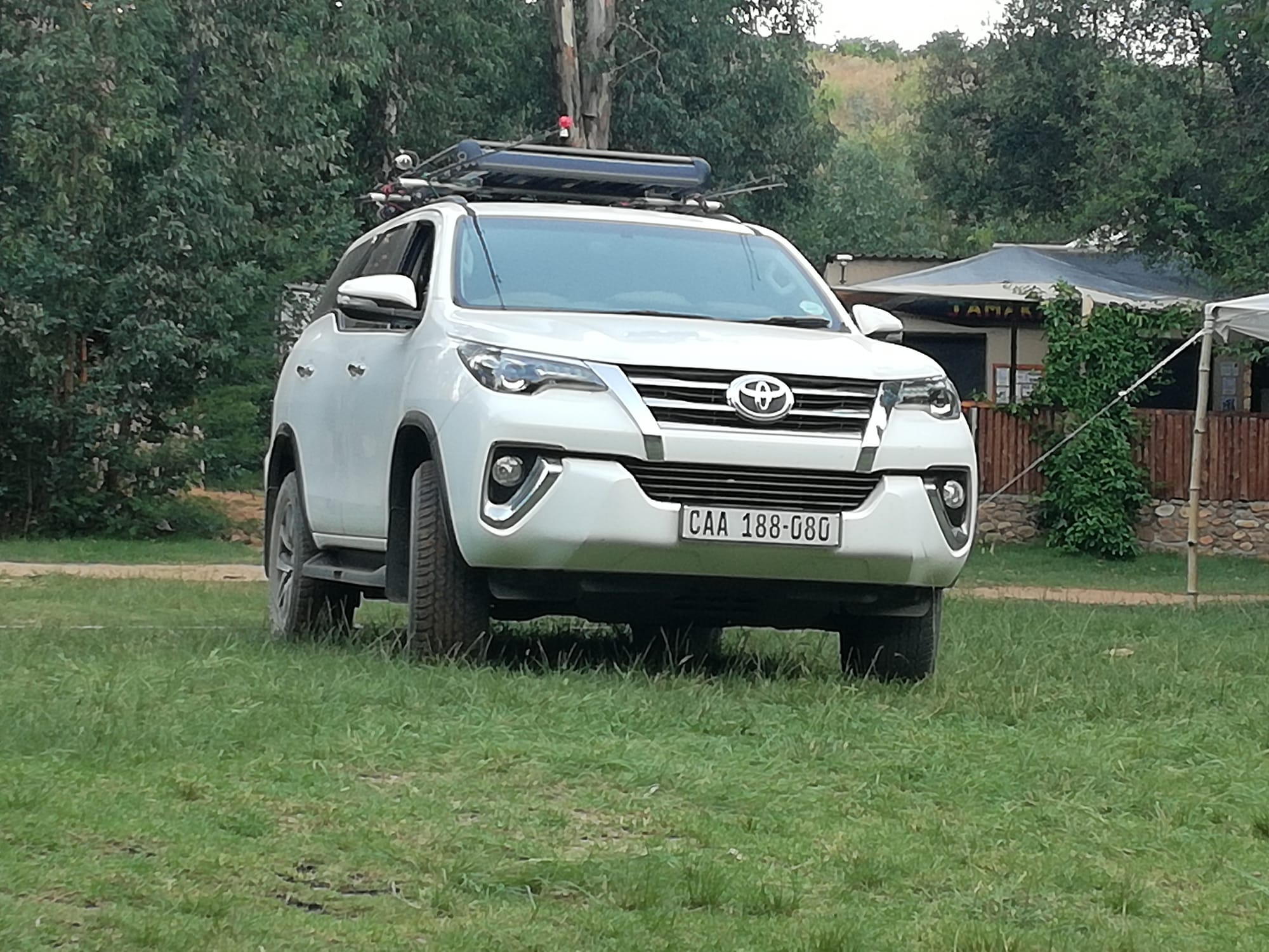
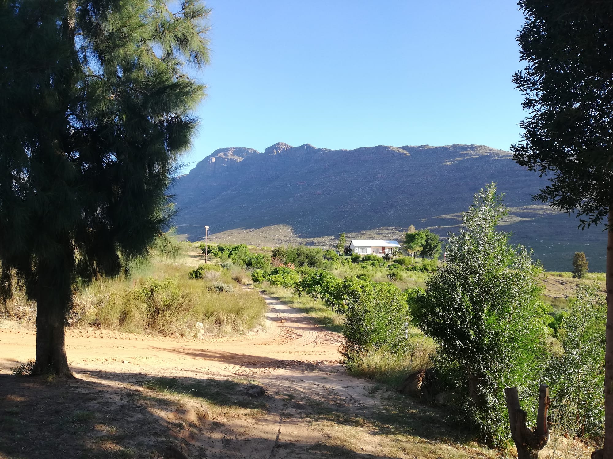
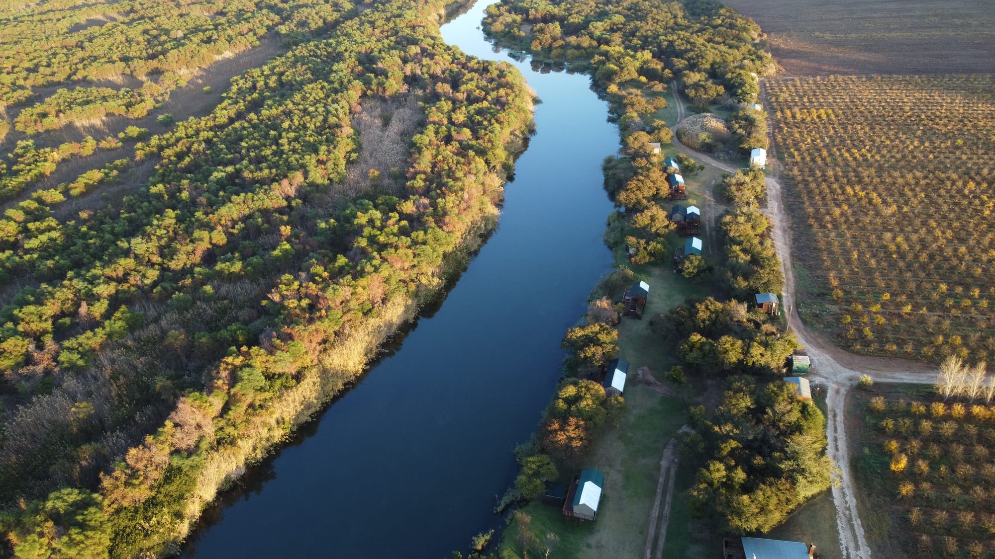
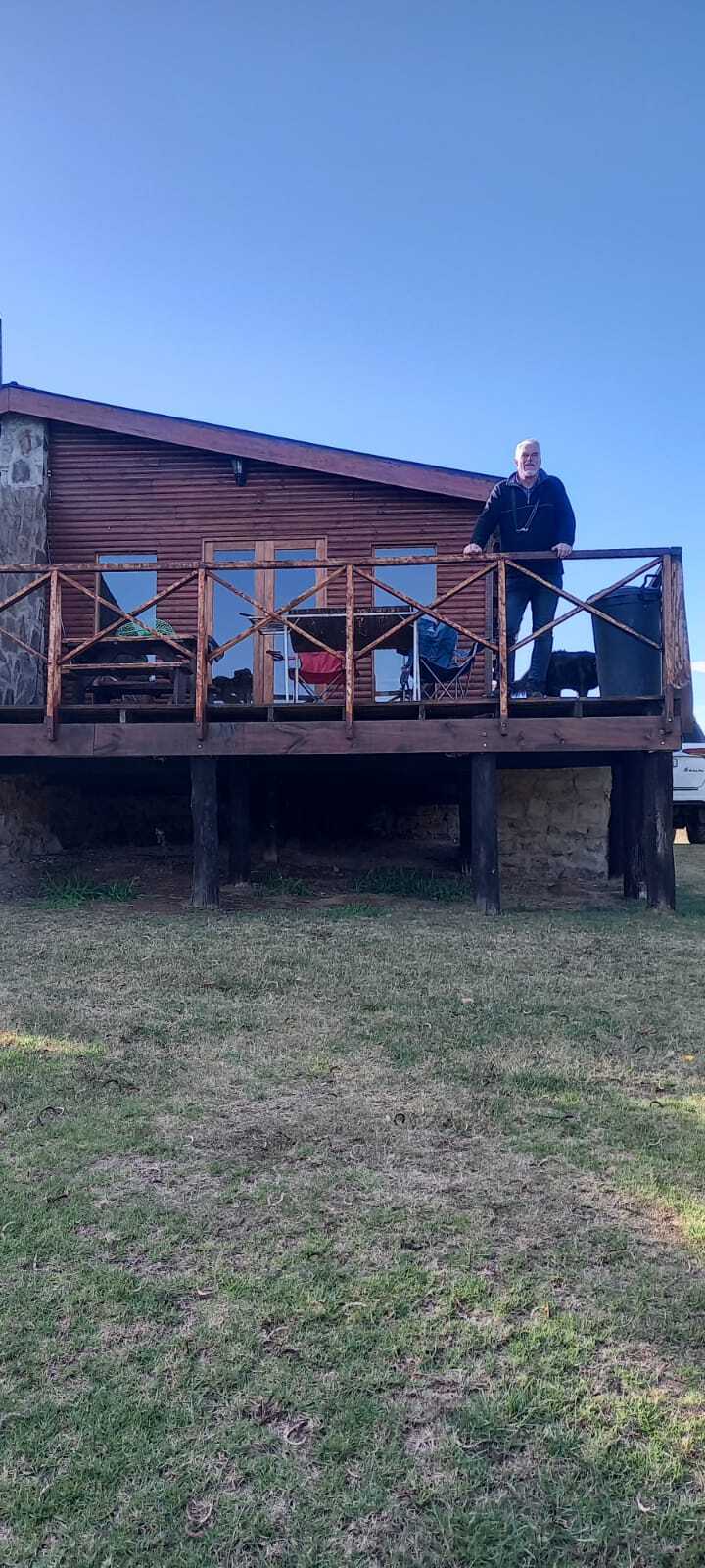
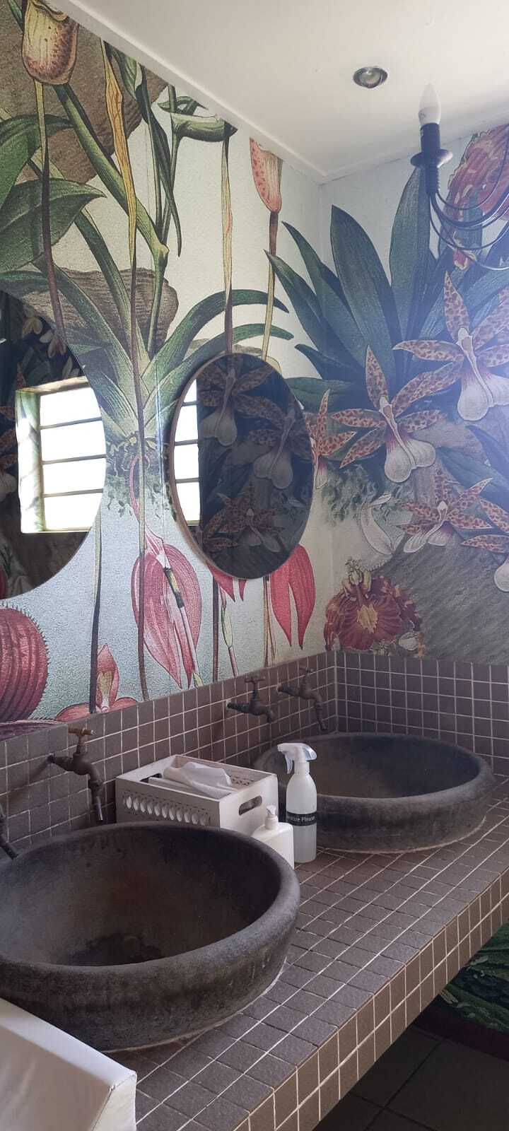
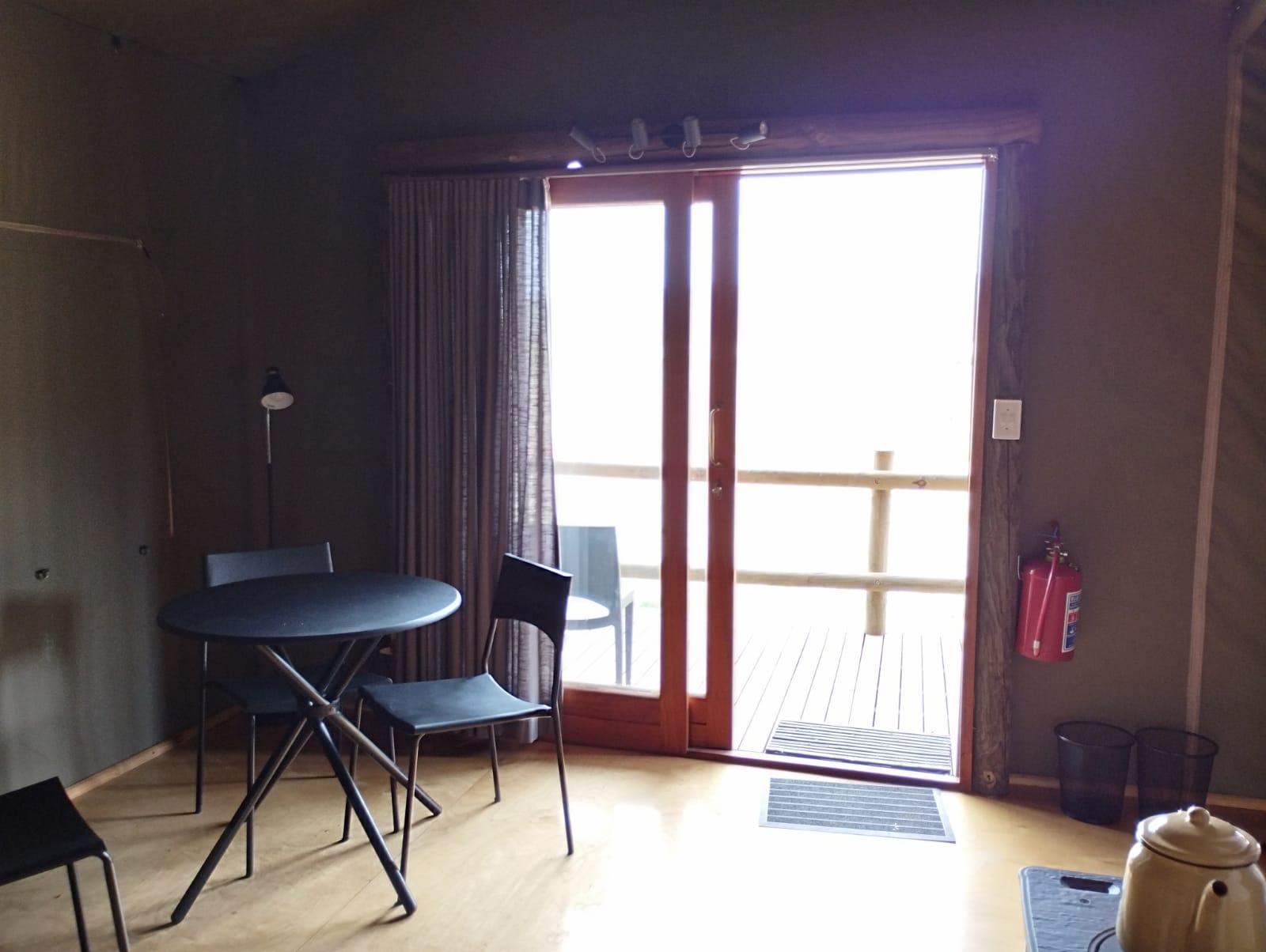
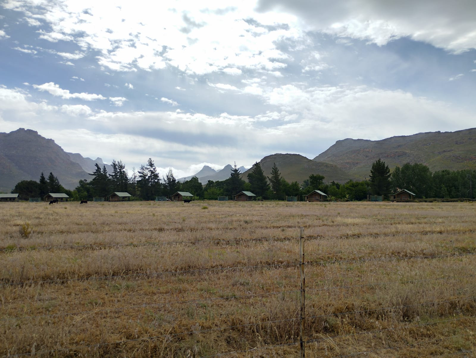
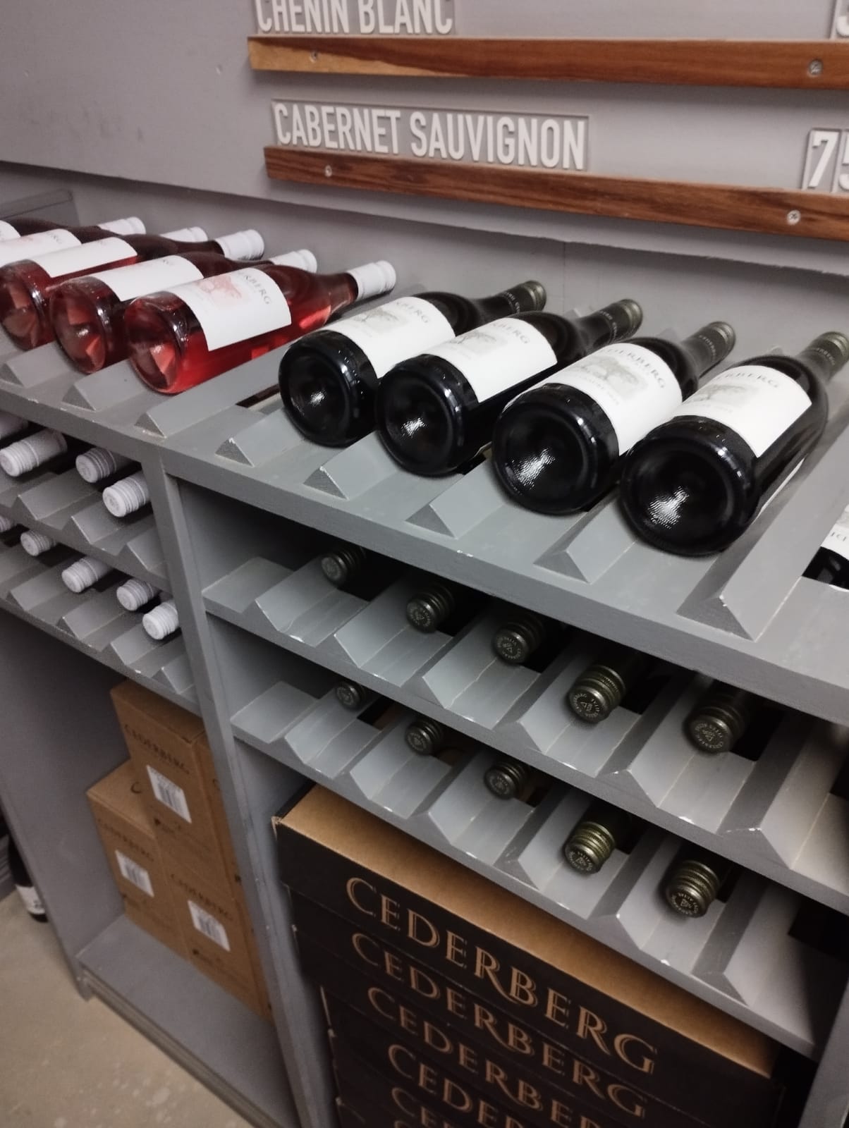
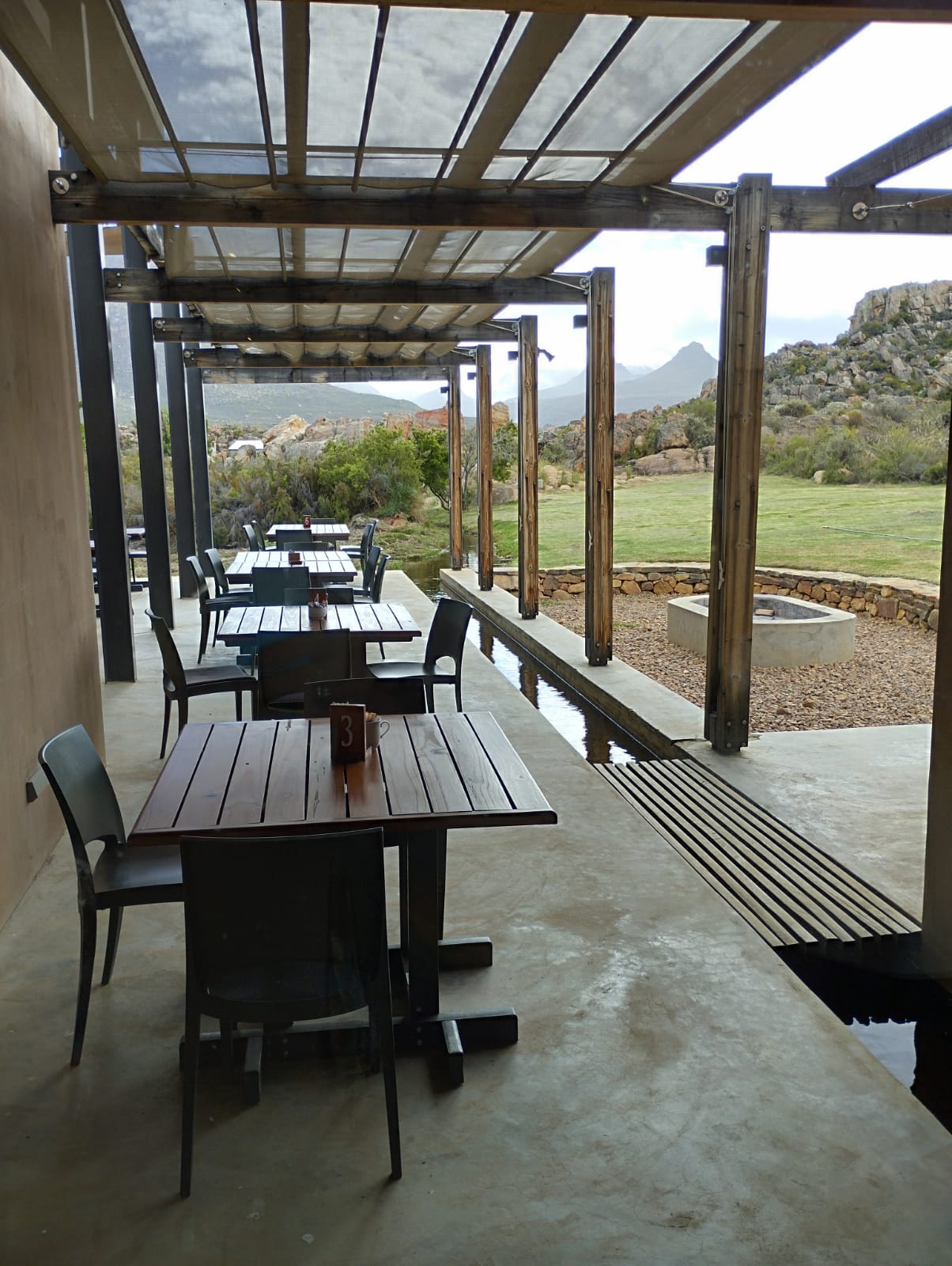
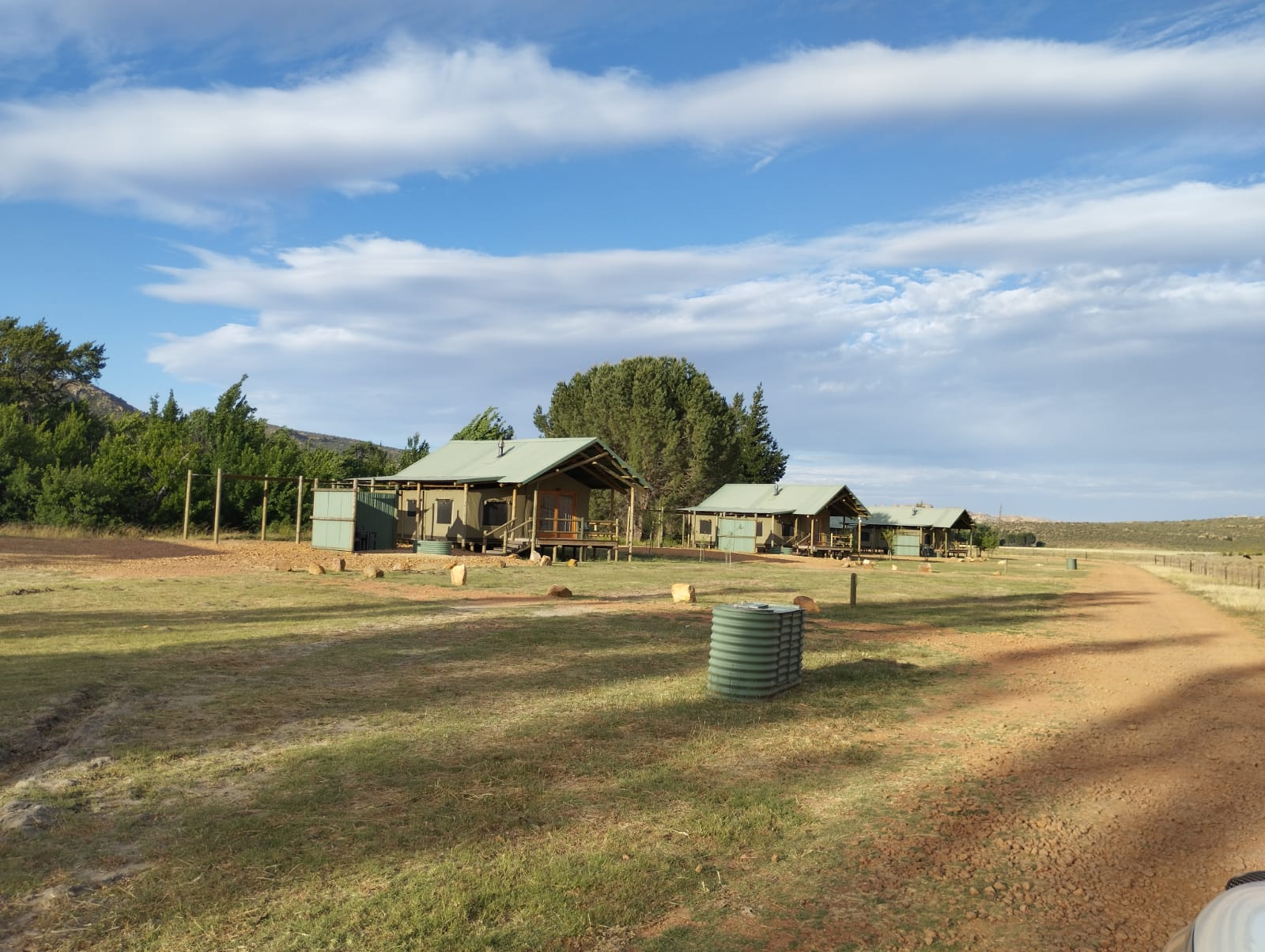
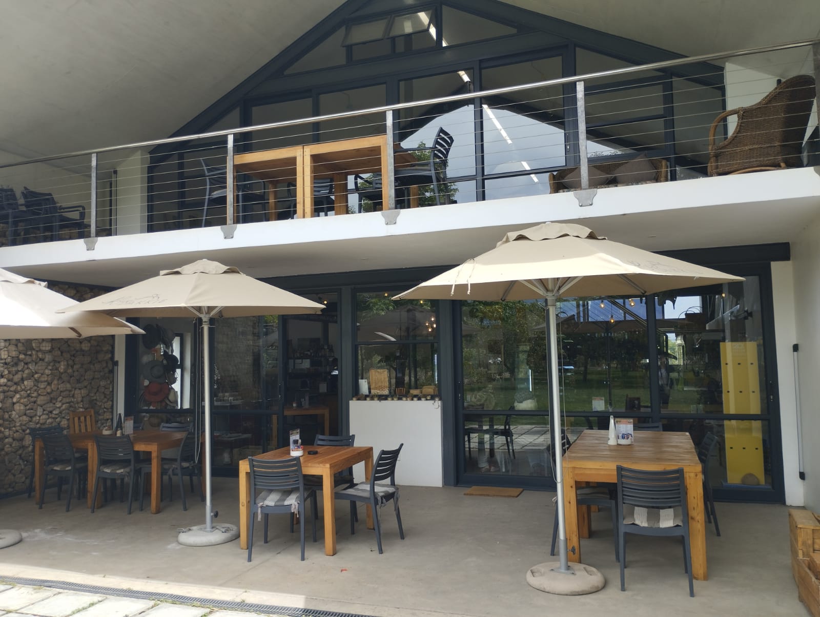
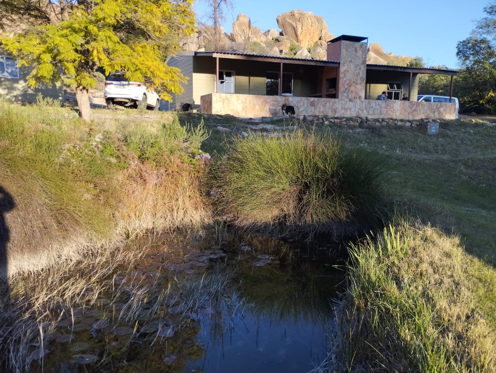
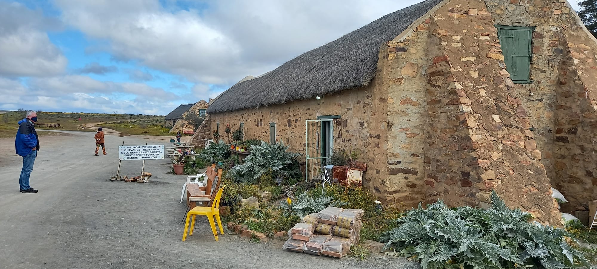
At Clanwilliam Ralph turned East onto the R364 and climbed the Pakhuys Pas, passing the Louis Leipoldt Gravesite before descending into the valley and turning right onto a short gravel road to arrive at the De Pakhuys accommodation hosted by a very dapper and well-spoken bilingual Mathys, our host for this trip. The cottage was well-appointed with no need for my extra braai grill or various cutlery so often missing at hosted accommodation. In fact, only a pair of scissors was MIA. Power supply was mains and well sorted, offering an opportunity to AC lead-charge the fridge without removing it from Ralph had the need prevailed. Gas hob and oven completed the kitchen set up. Water is potable negating the need to carry extra from town. Cable TV and extra heaters were a welcome addition. 

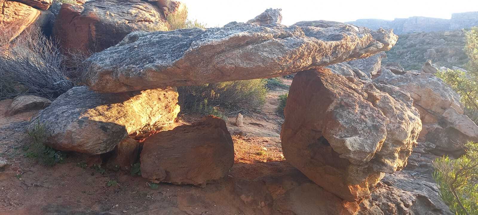
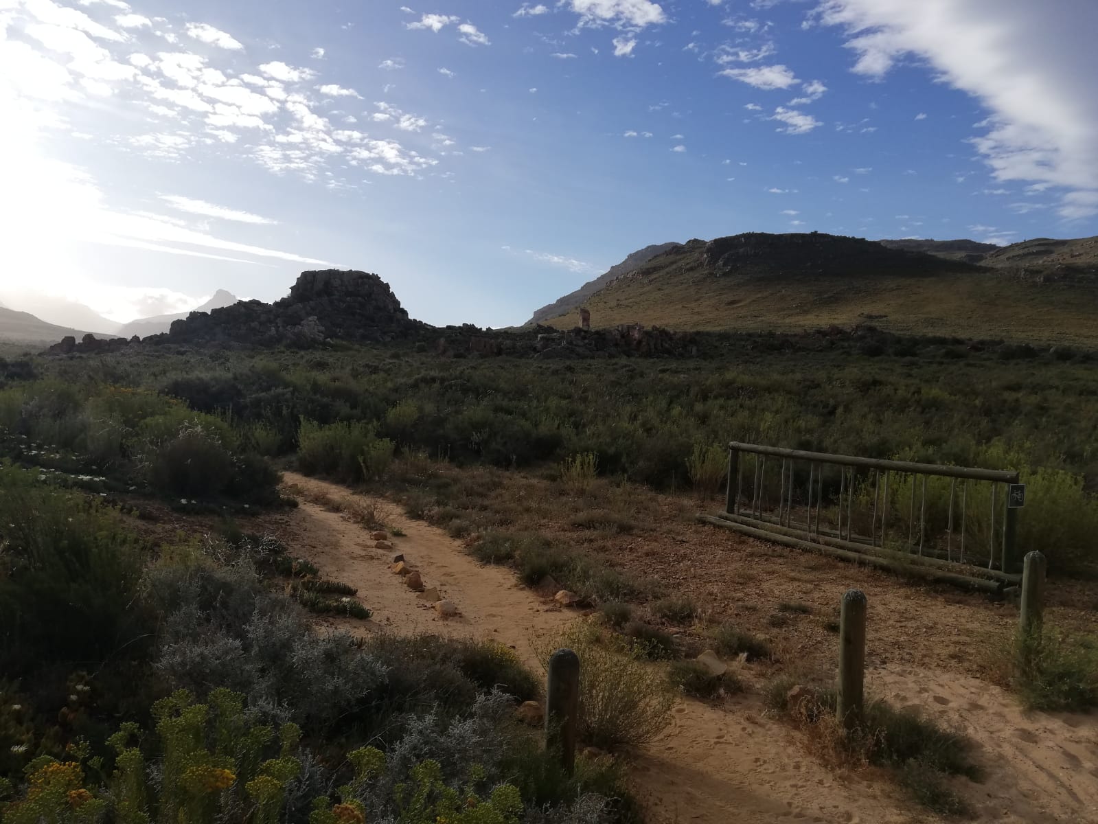
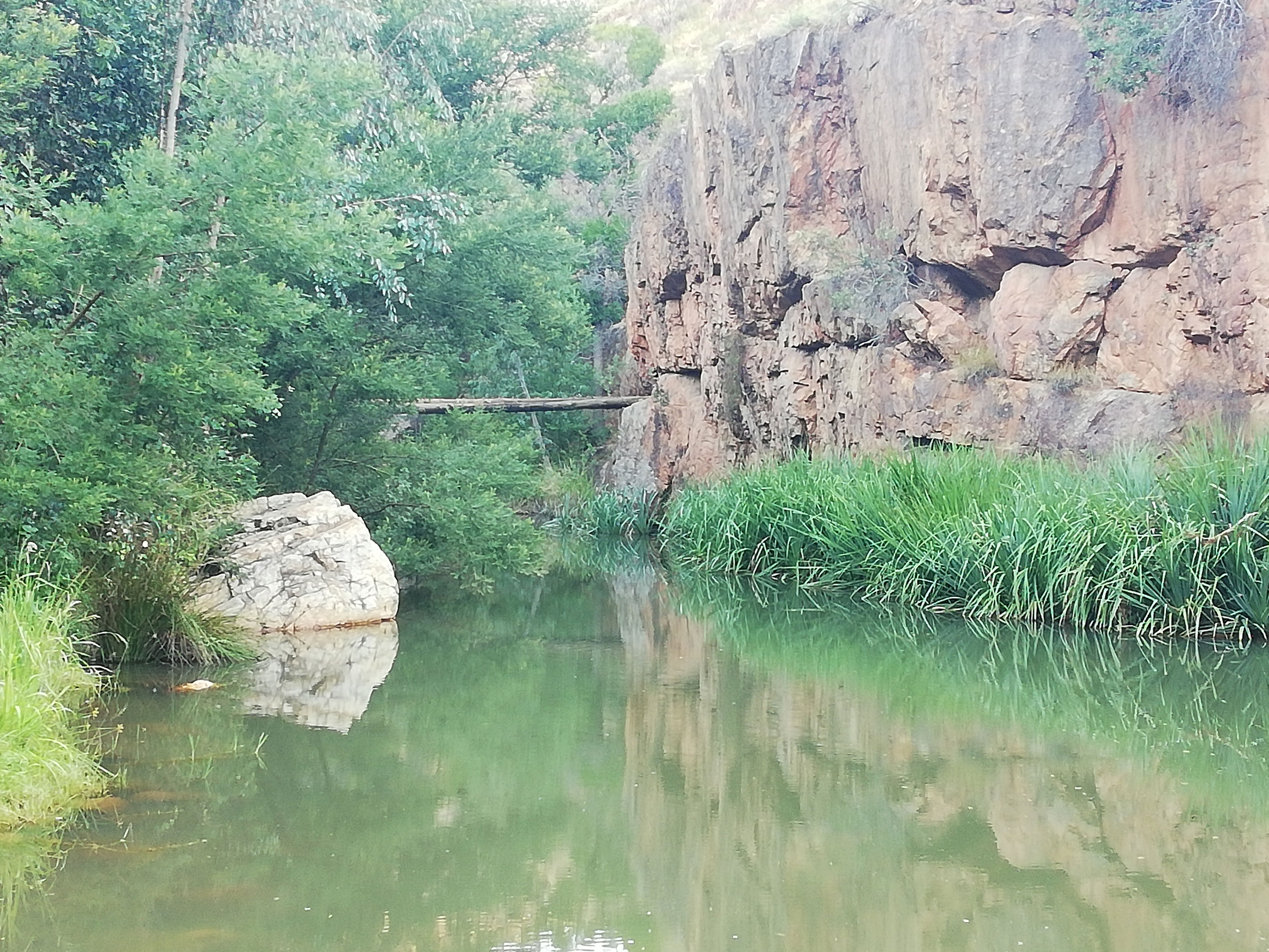
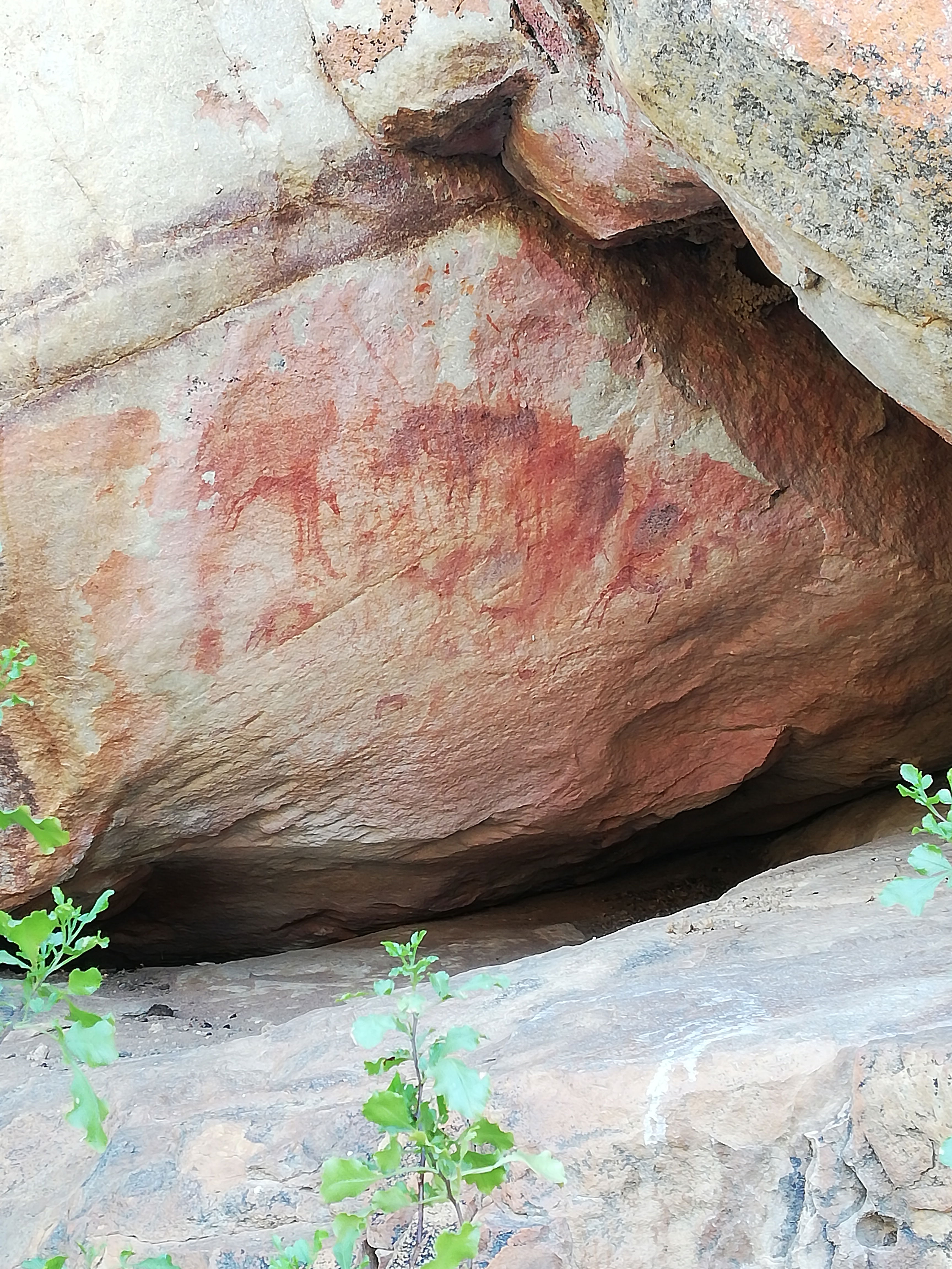
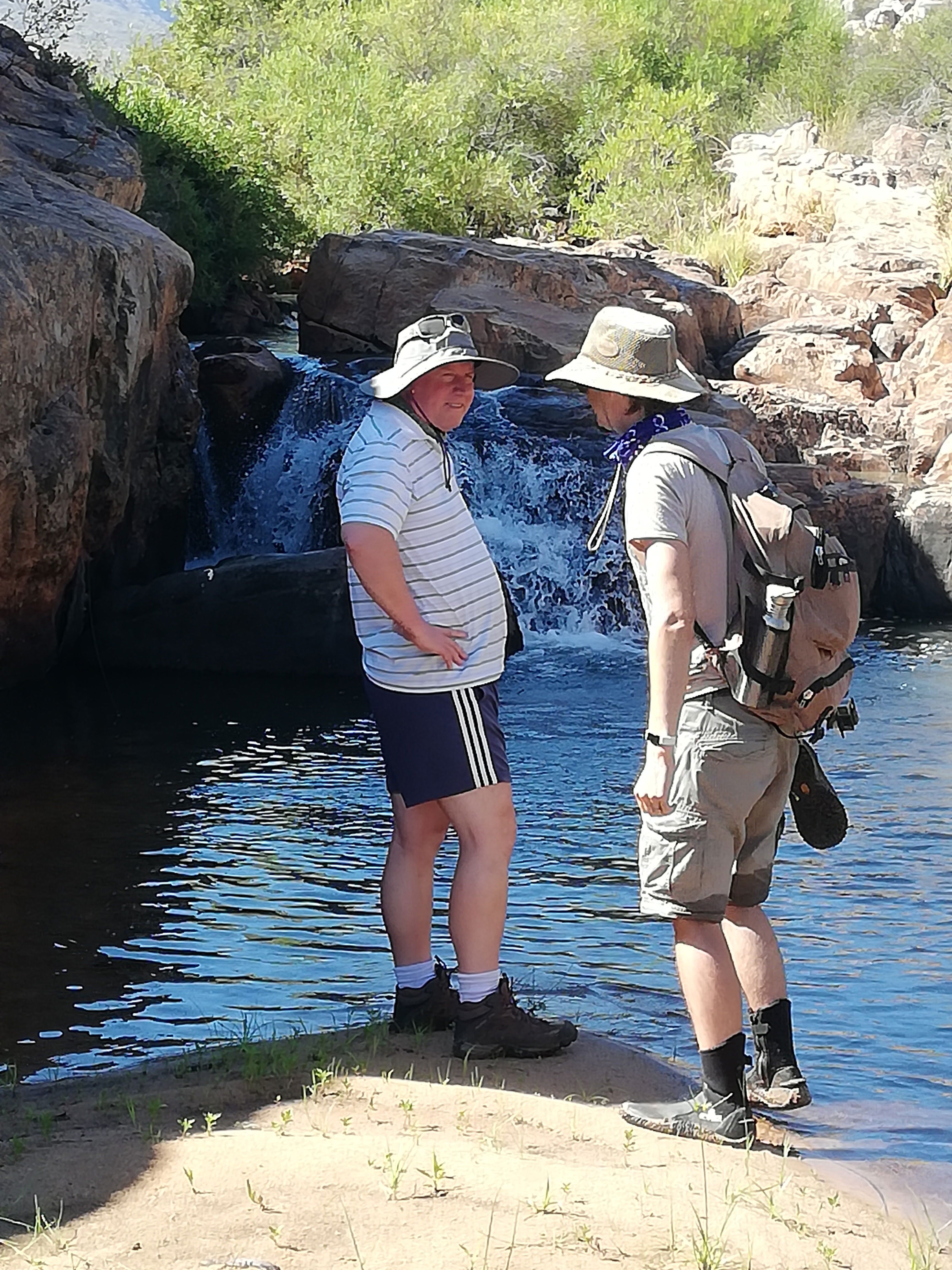
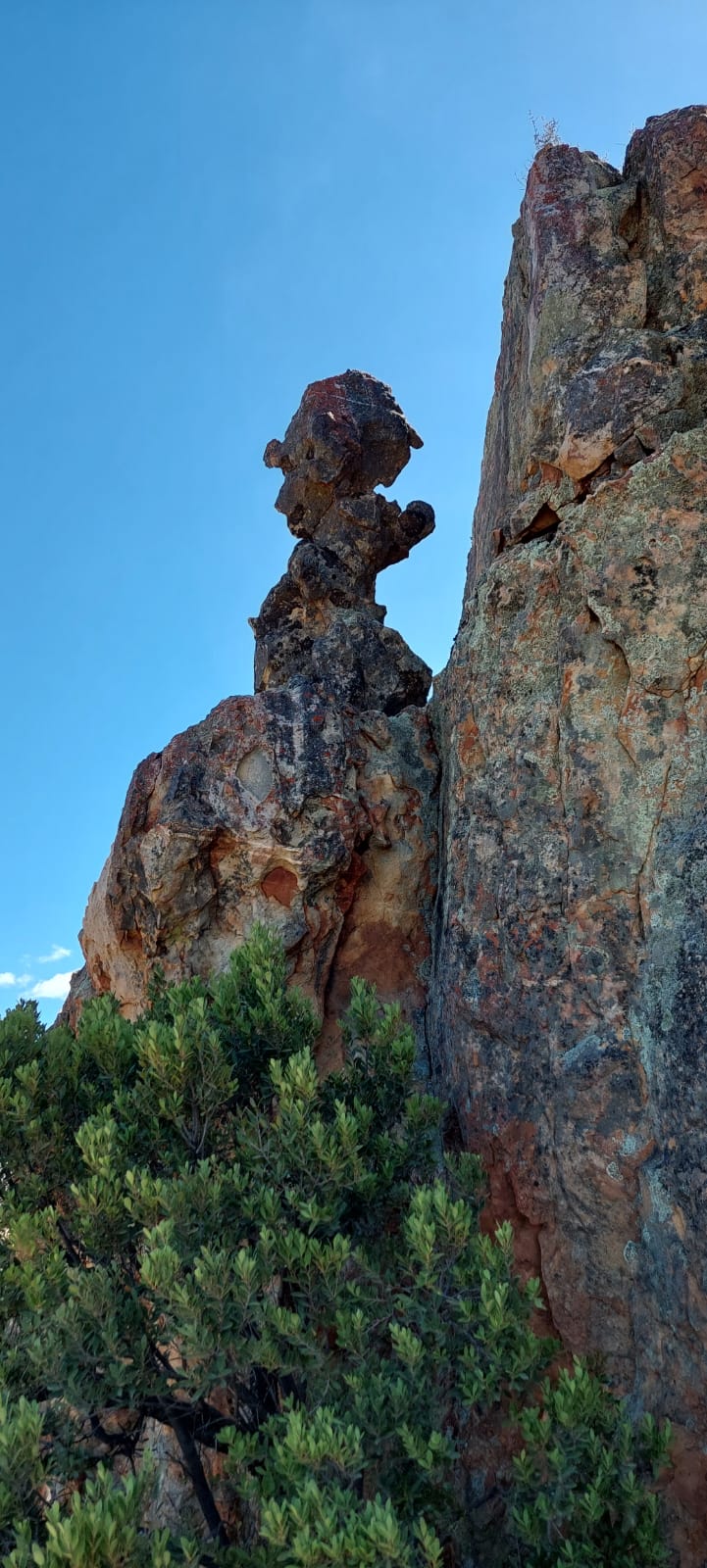
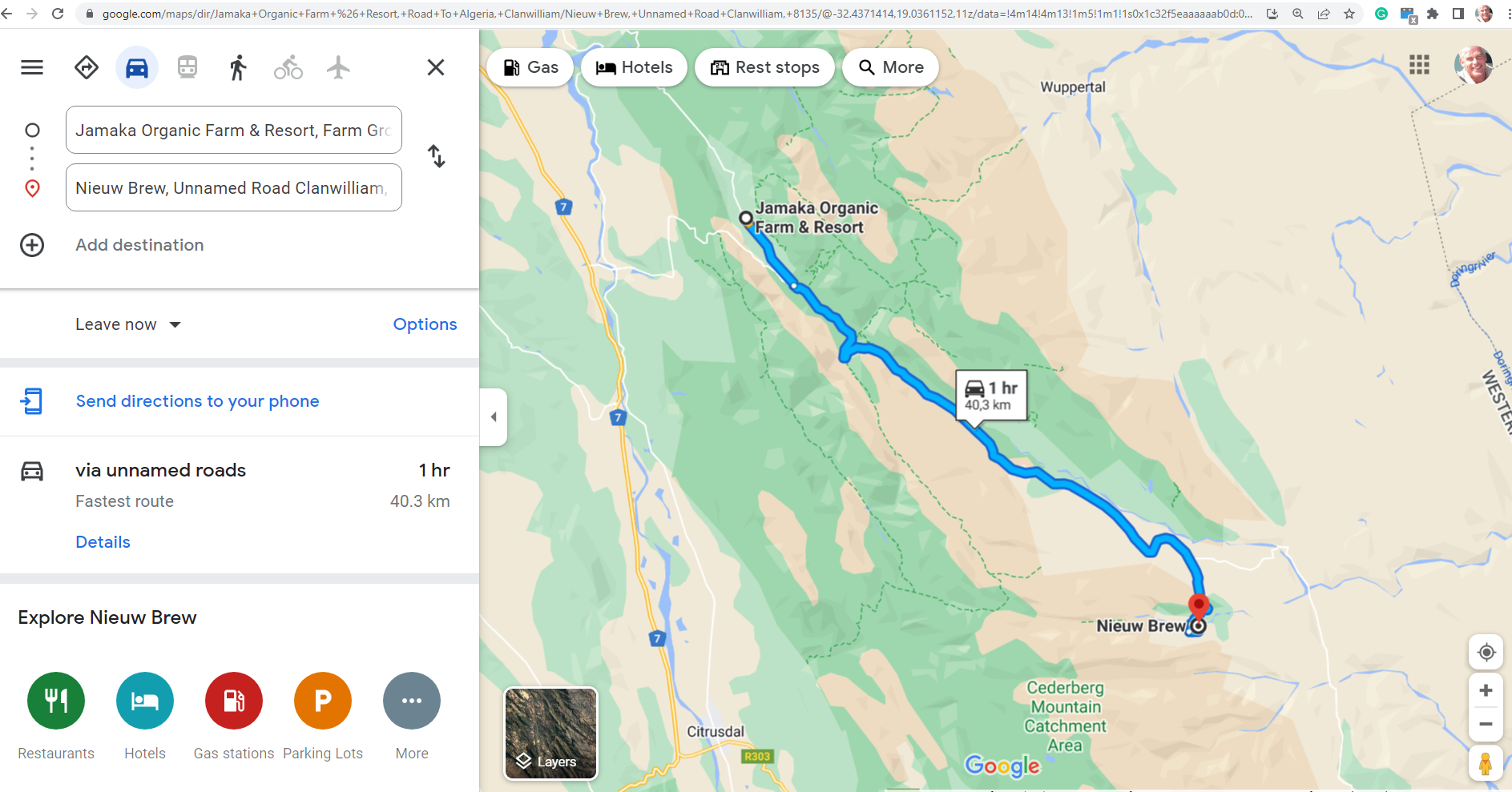
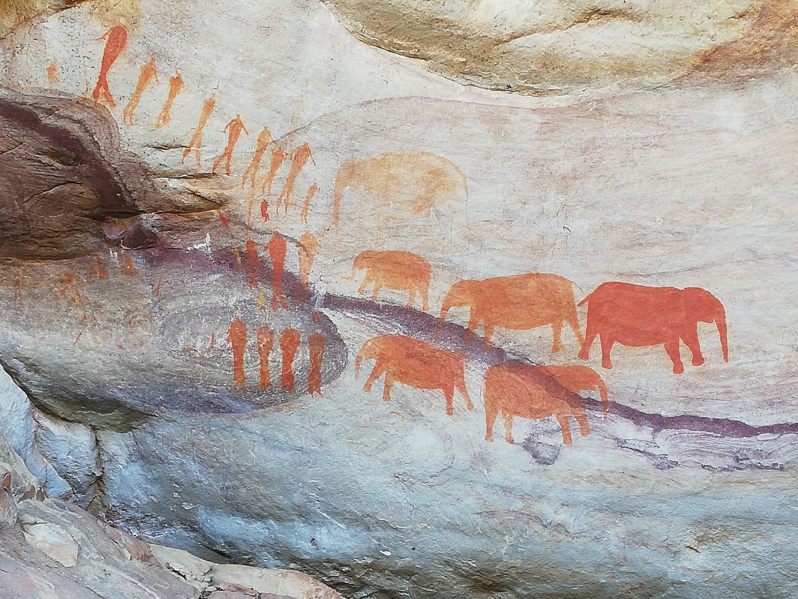
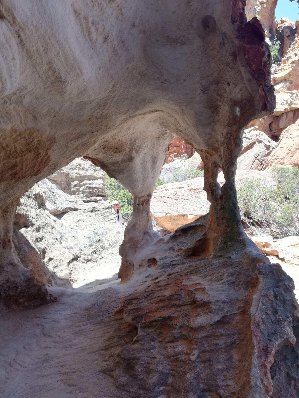
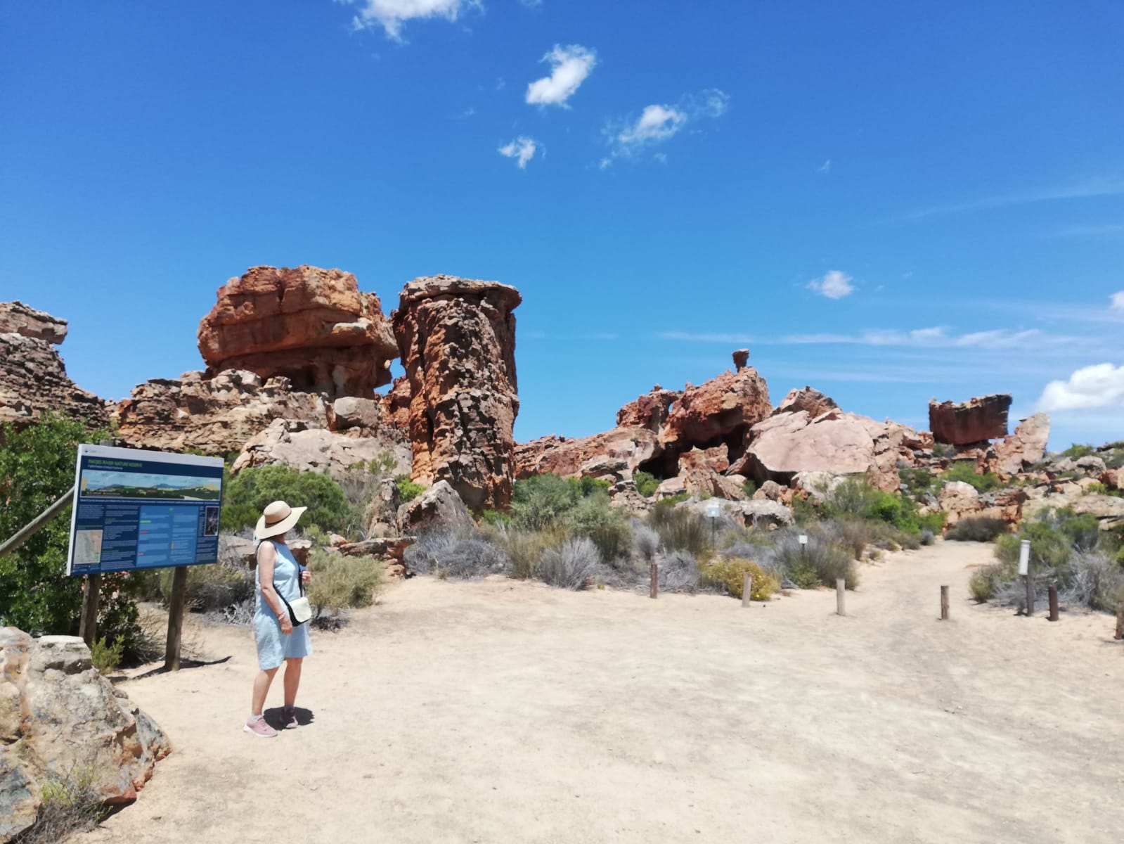
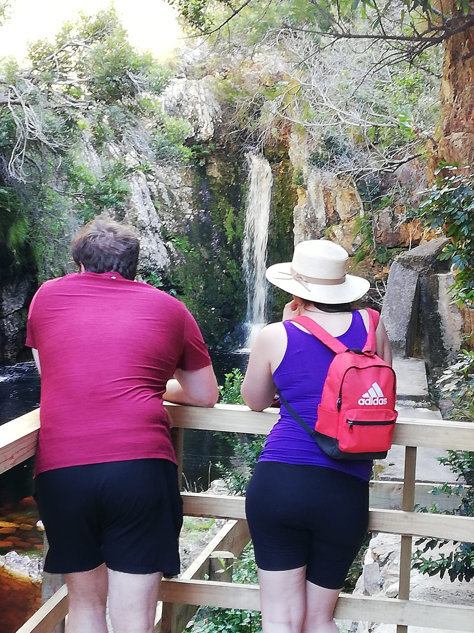
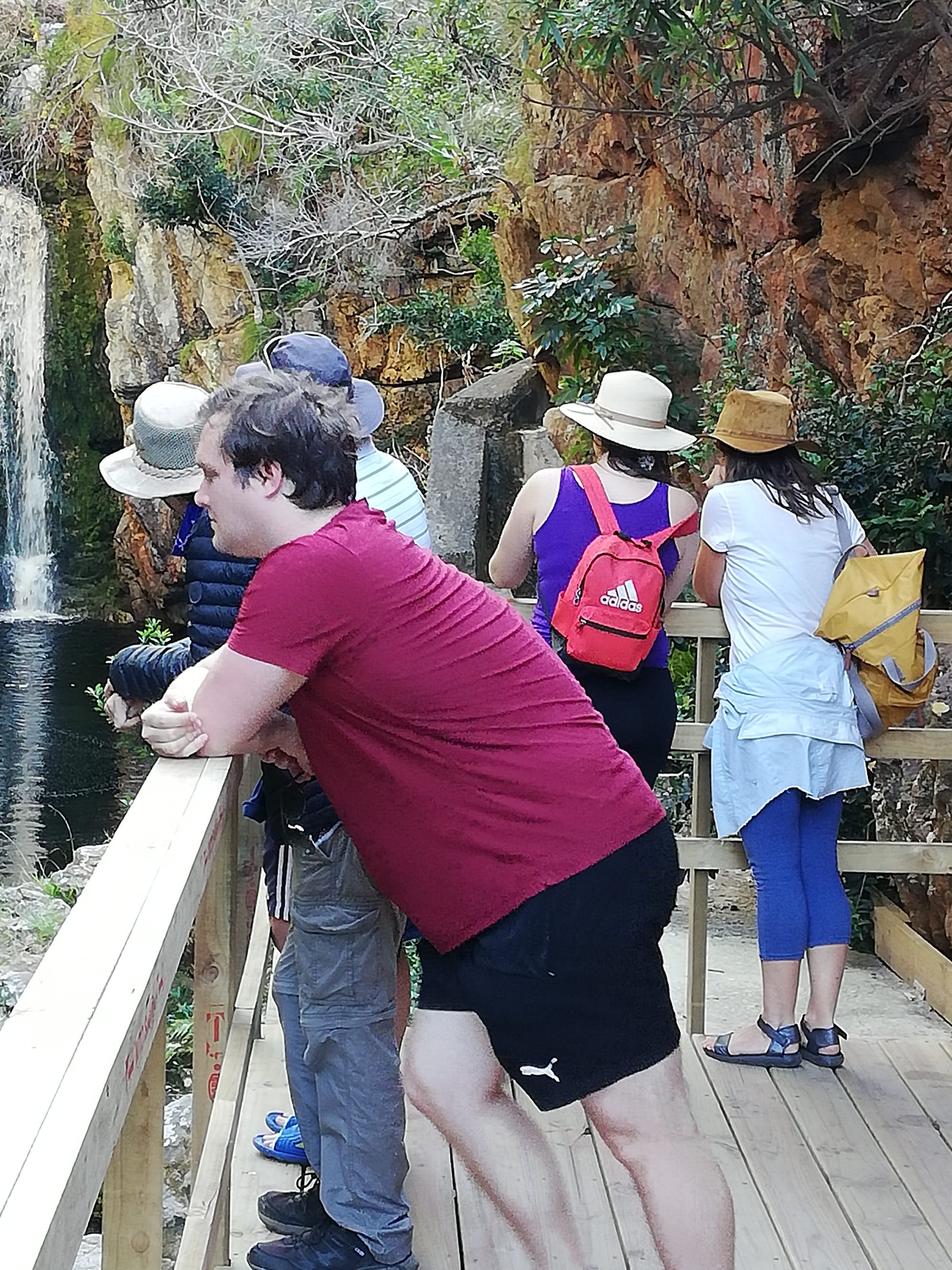
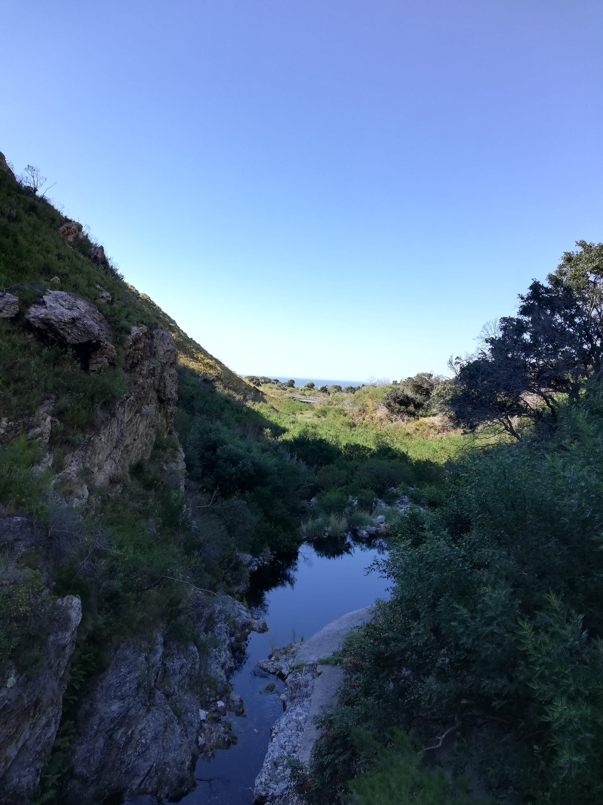
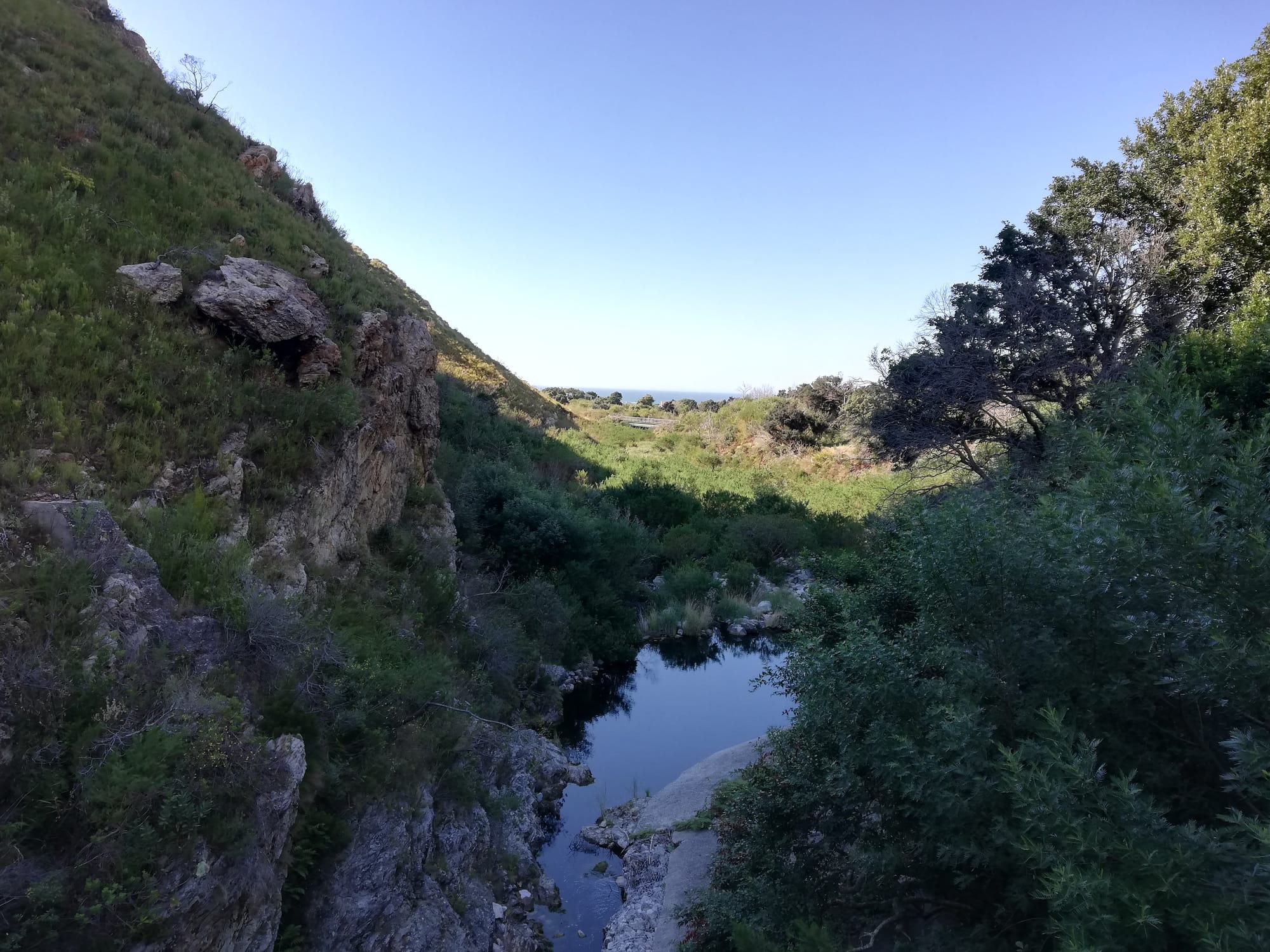
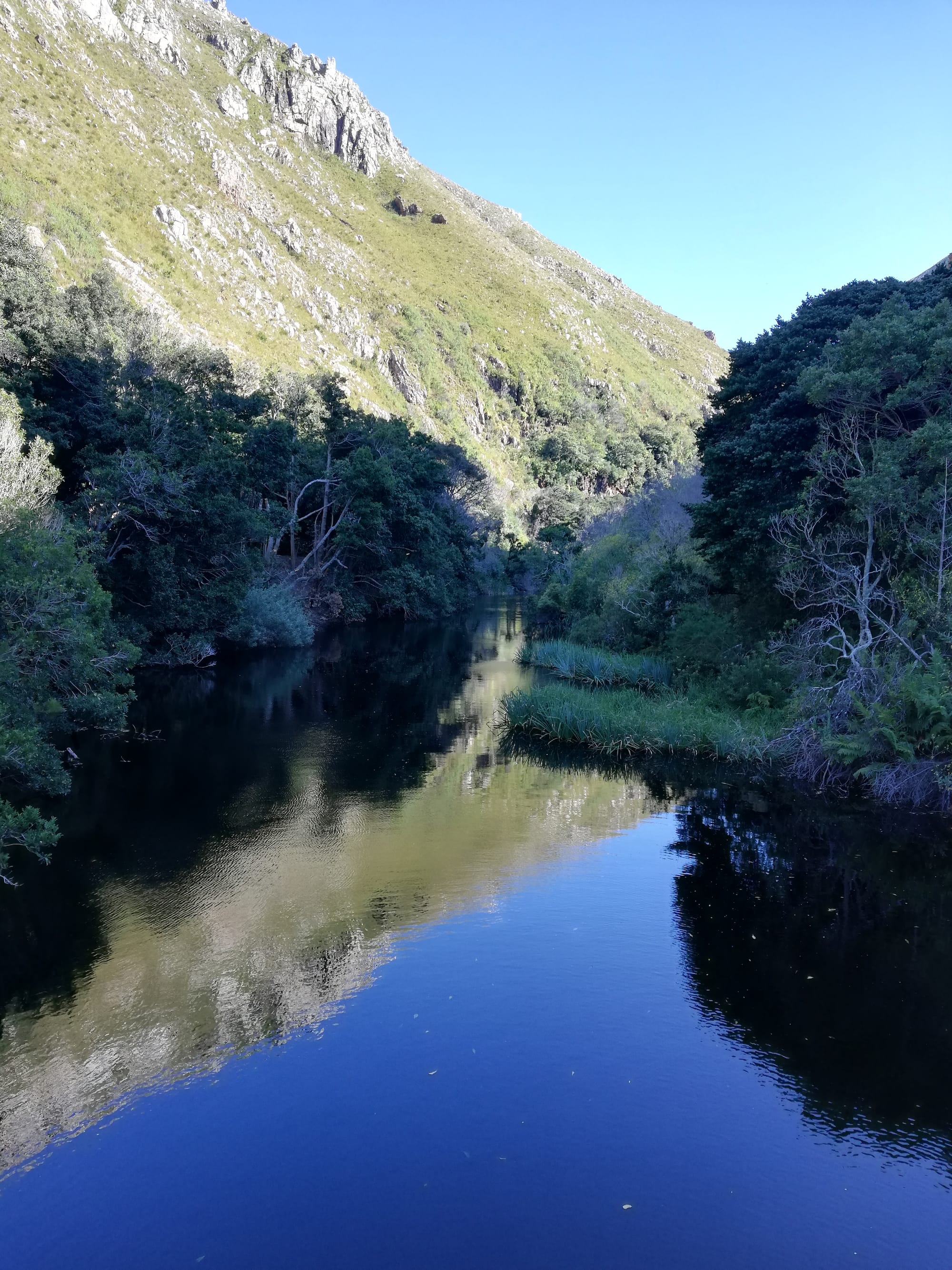
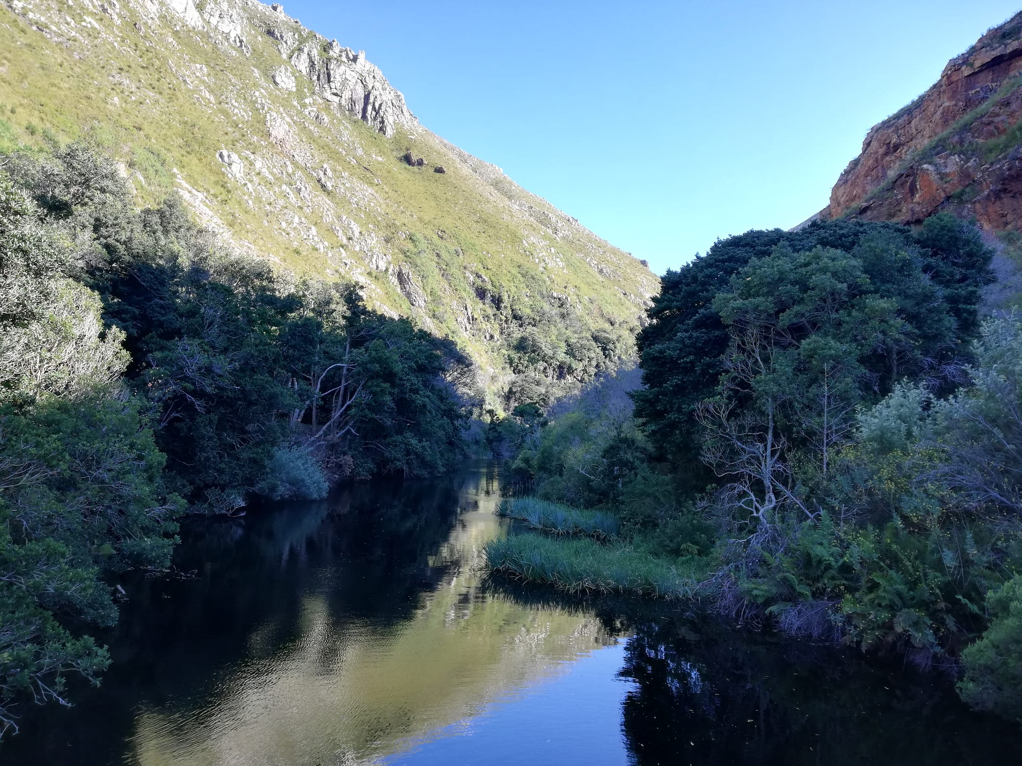
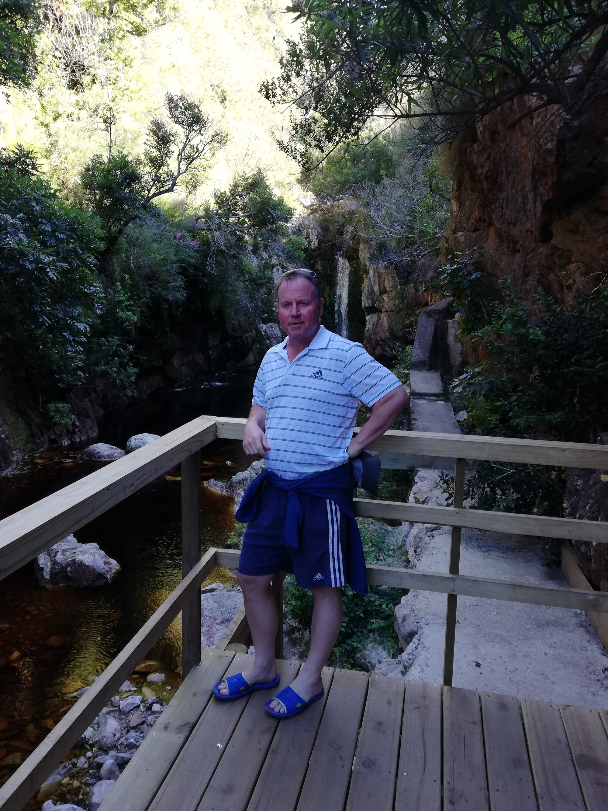
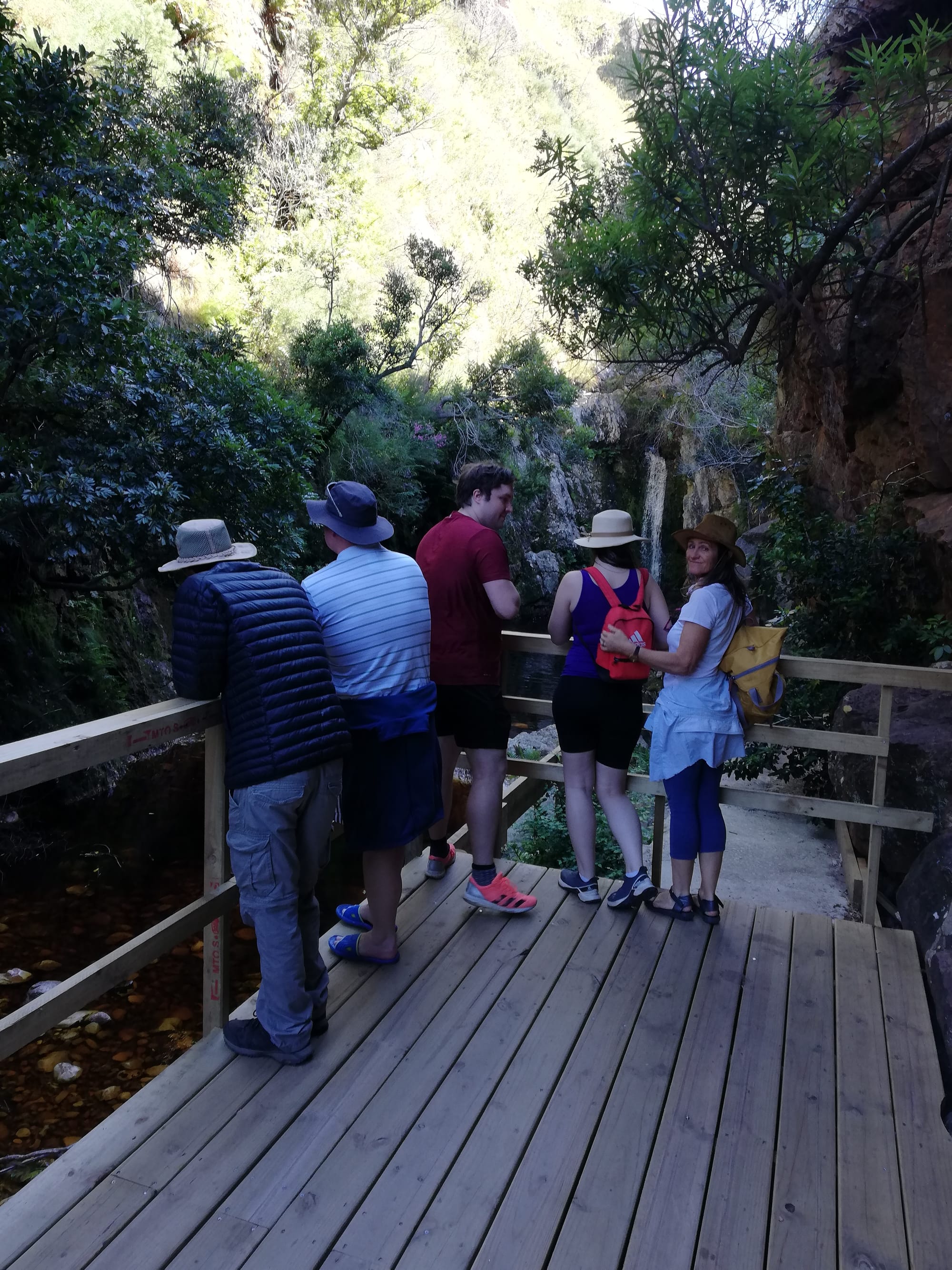
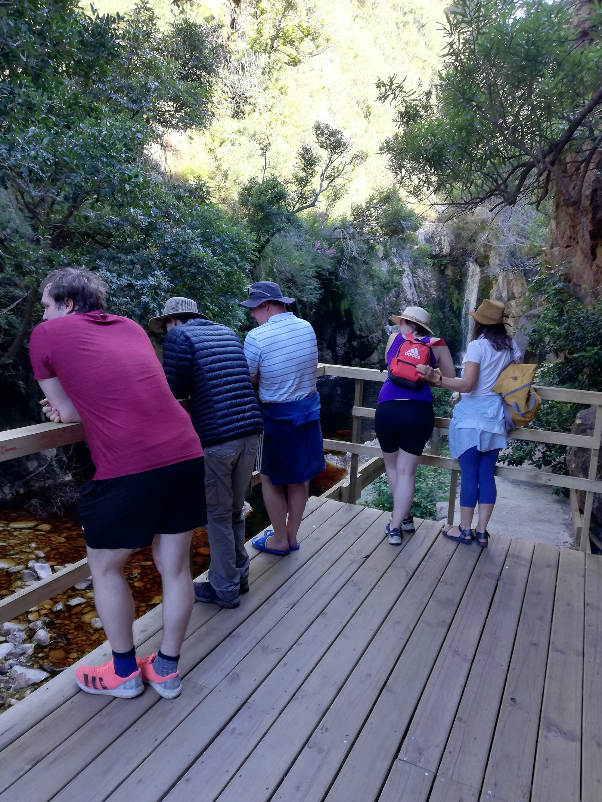
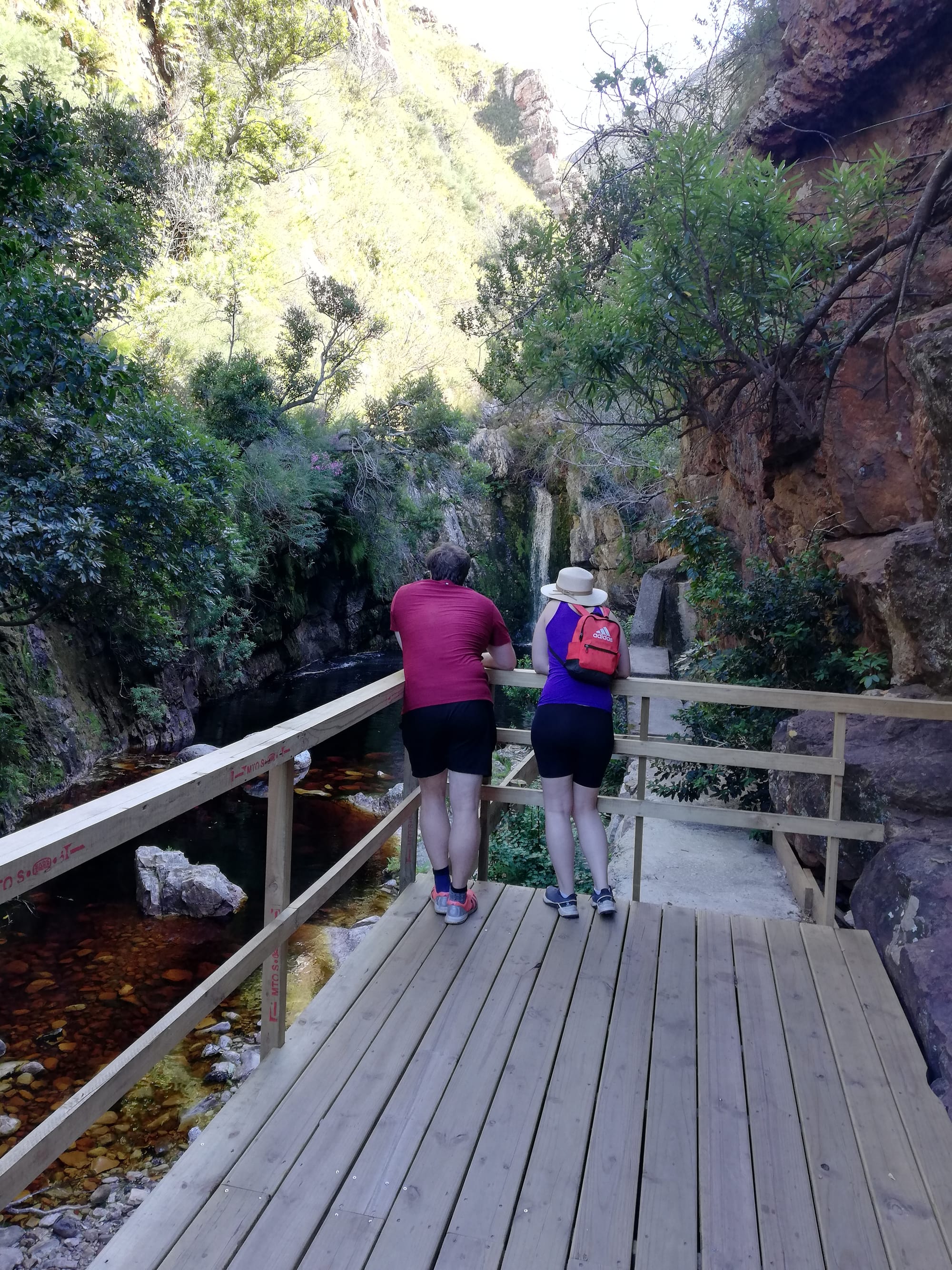
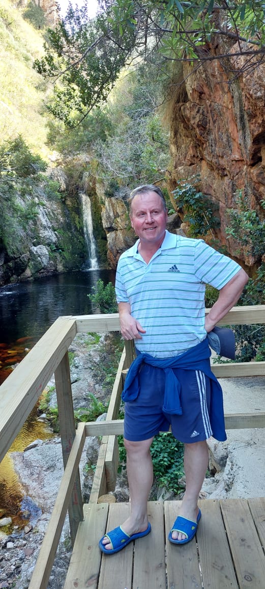
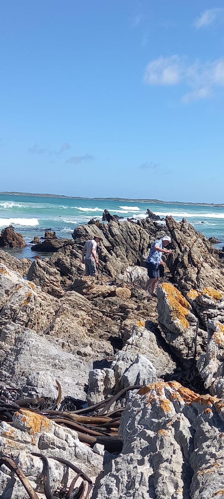
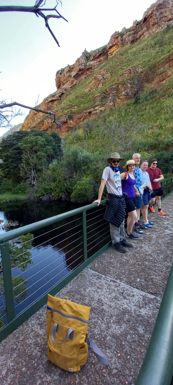
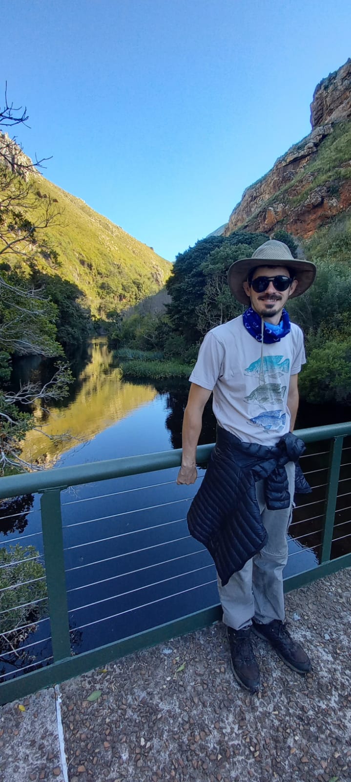
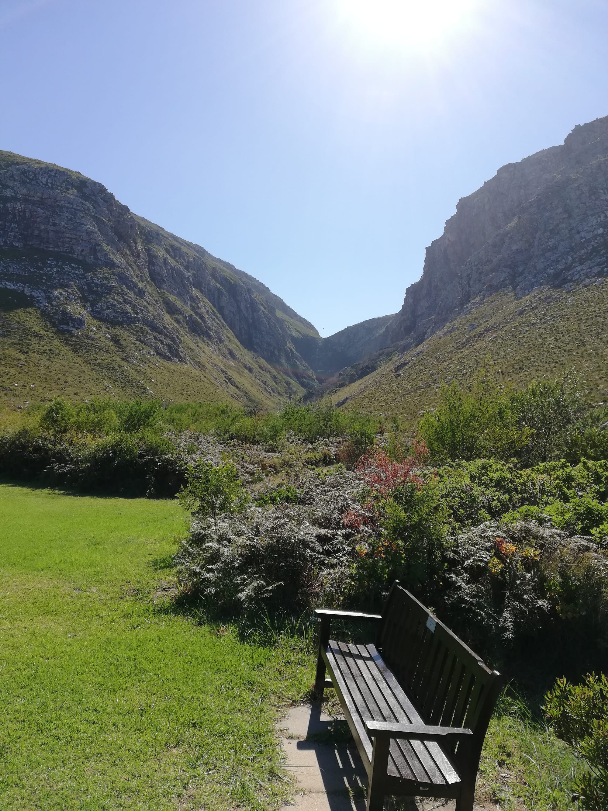
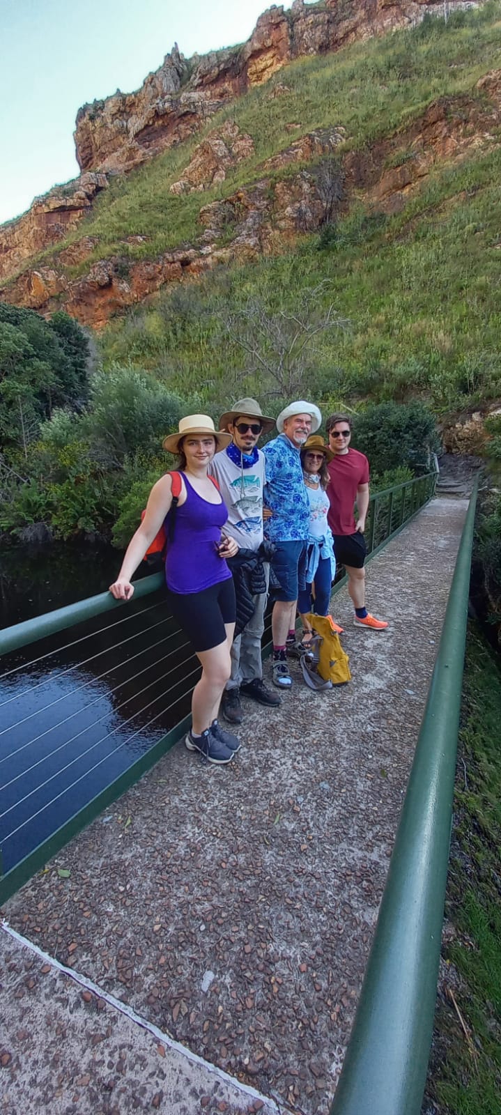
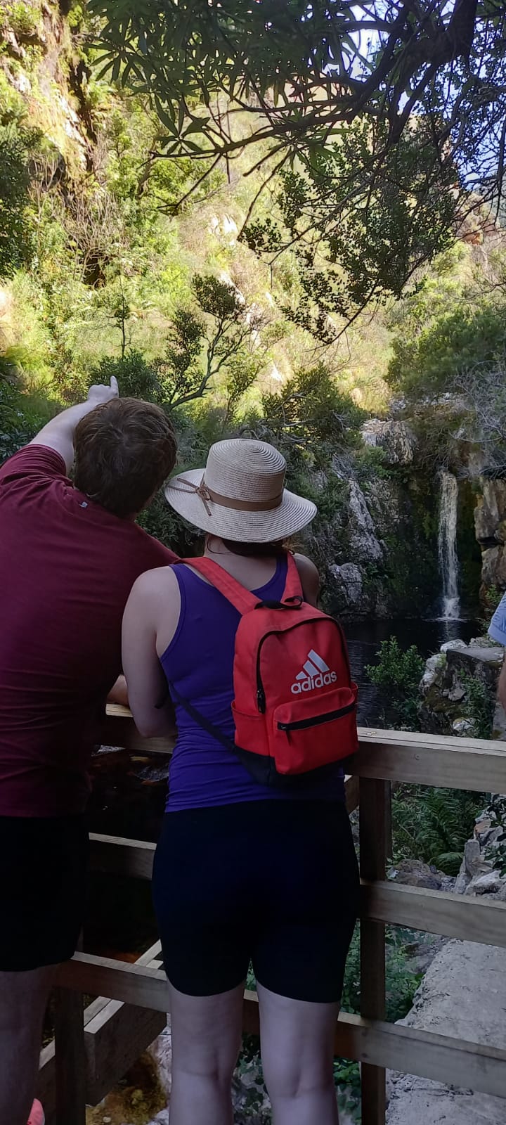
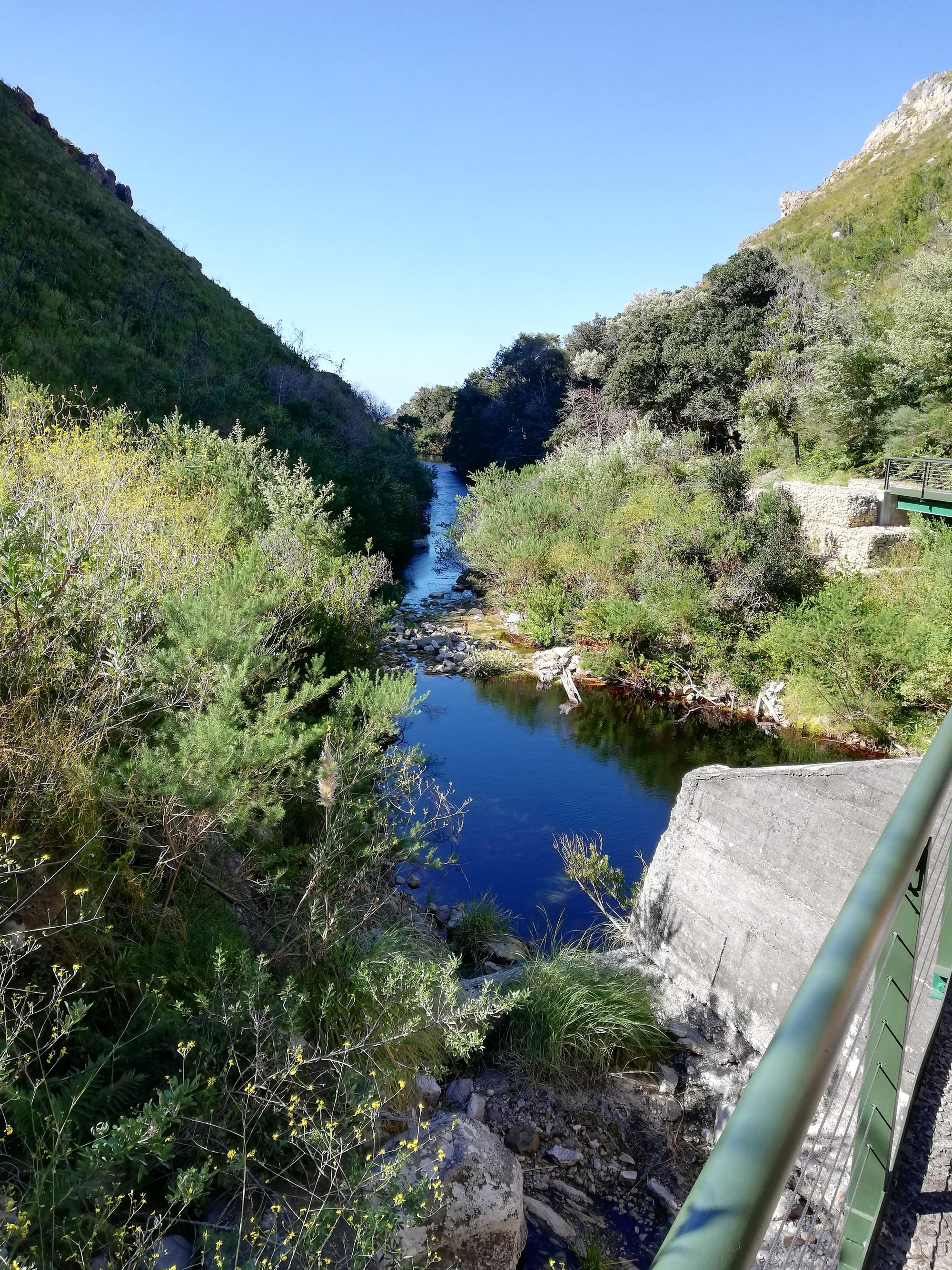
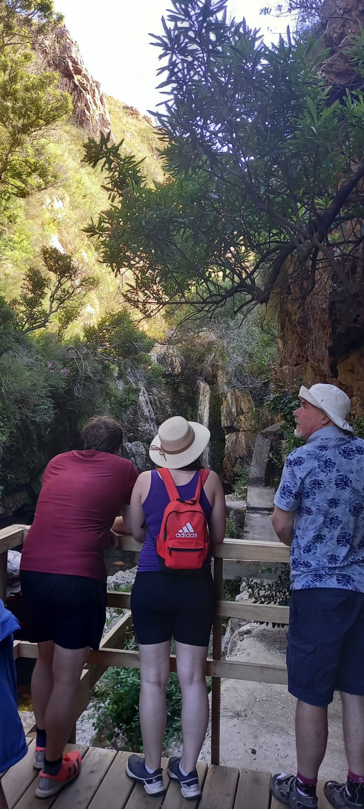
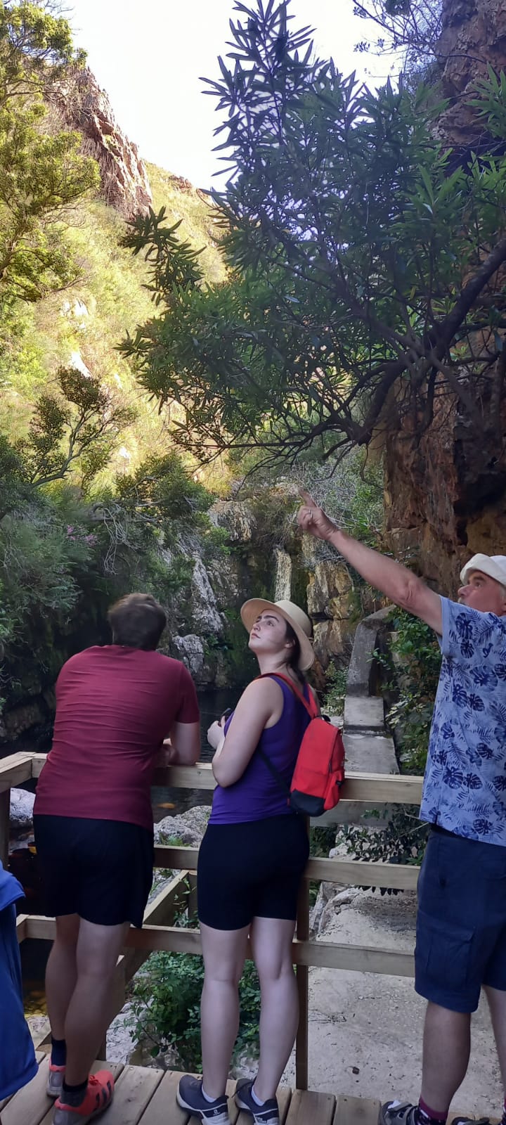
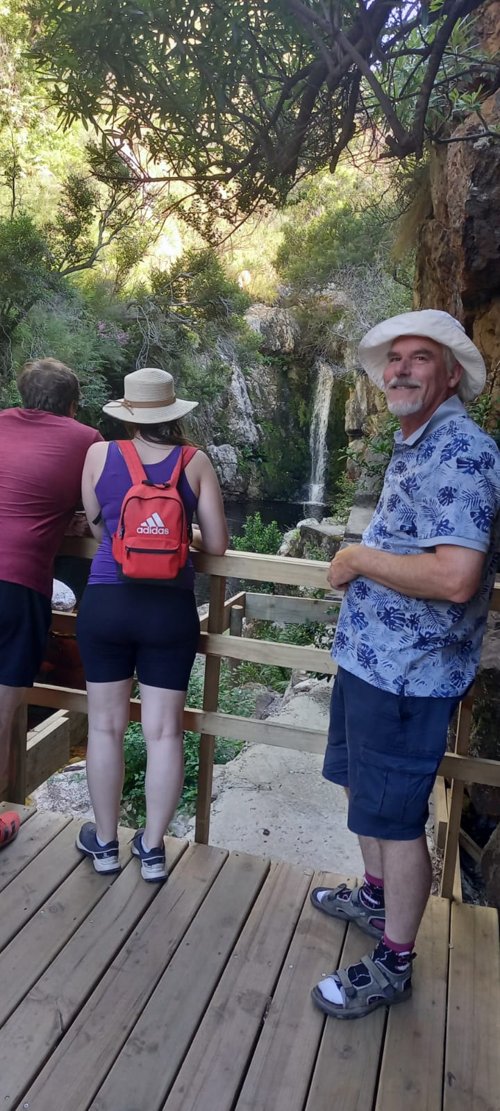
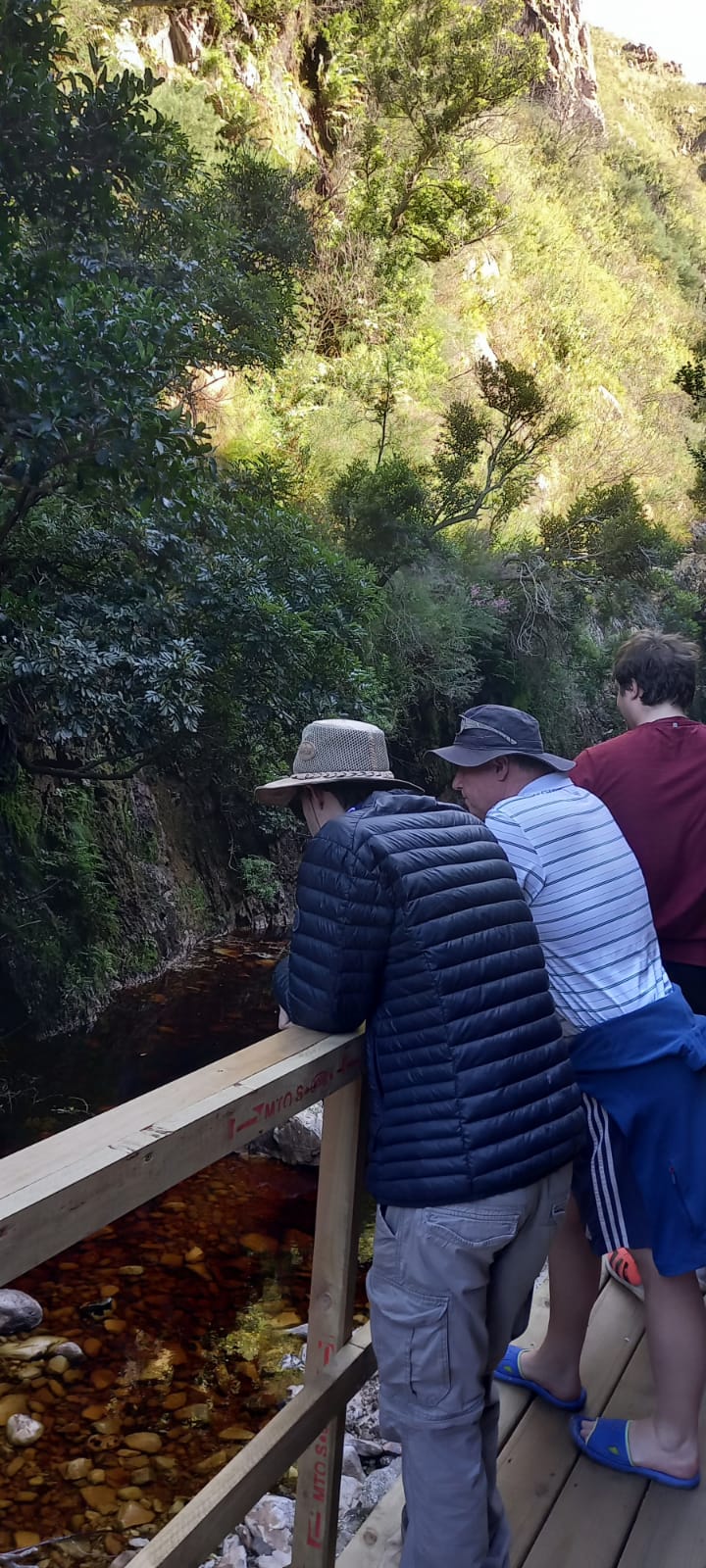
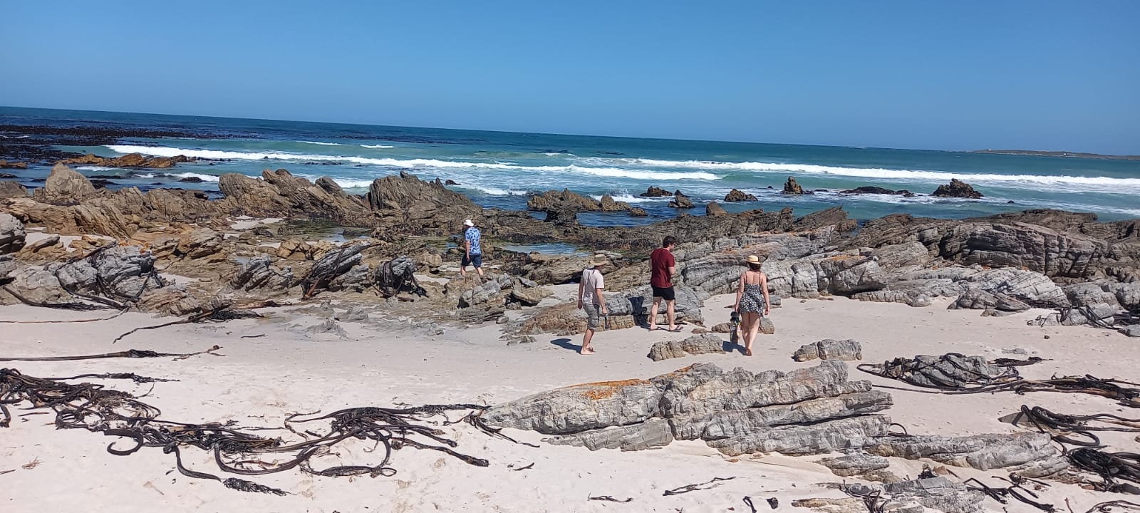
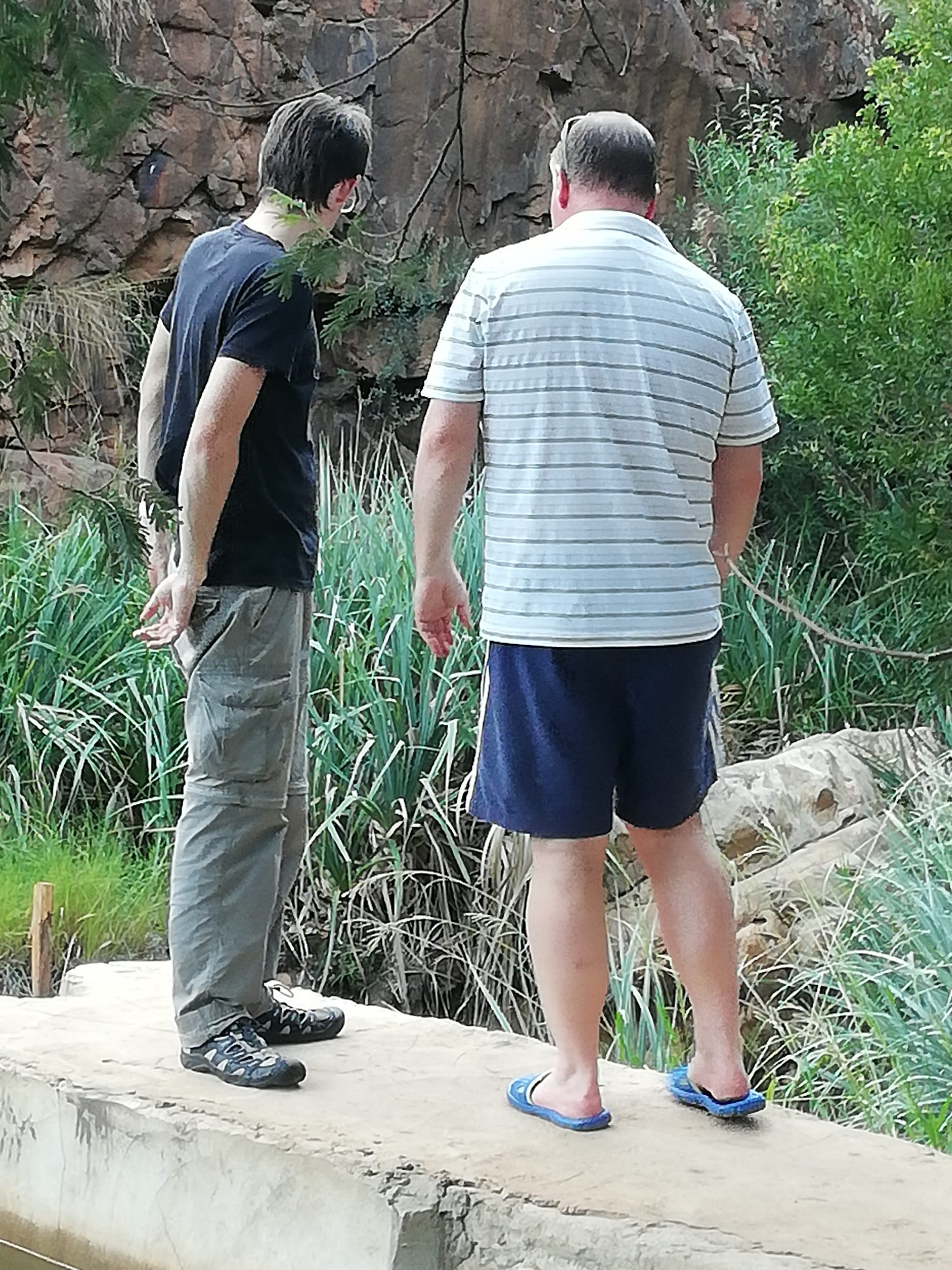
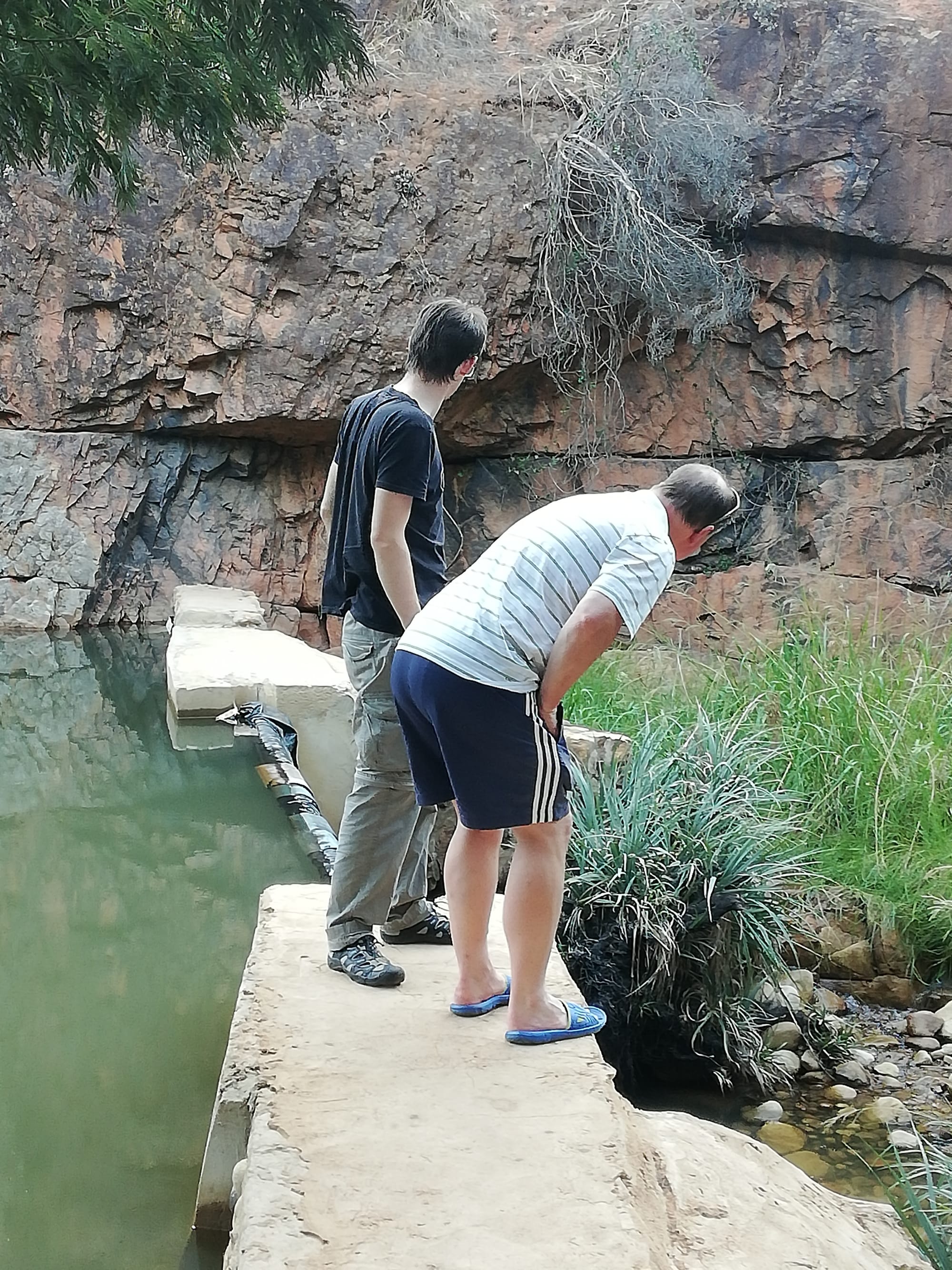
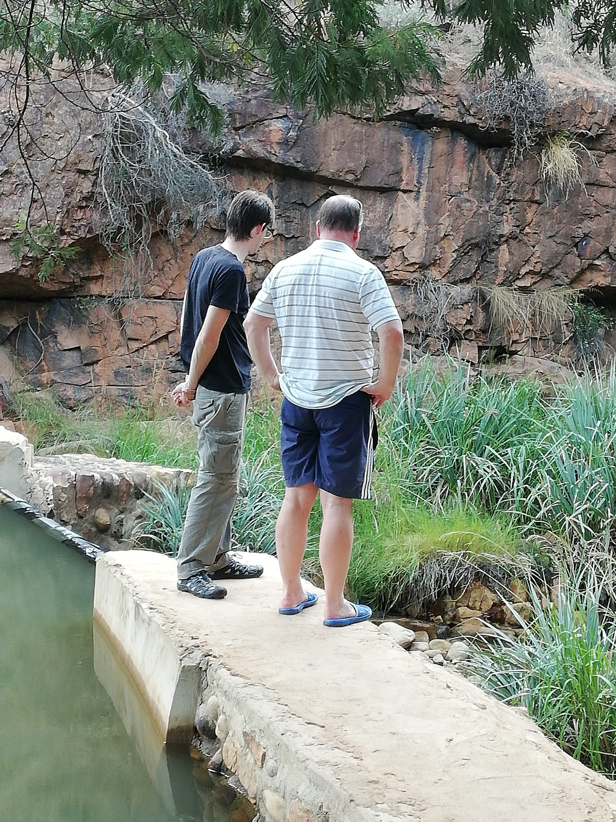
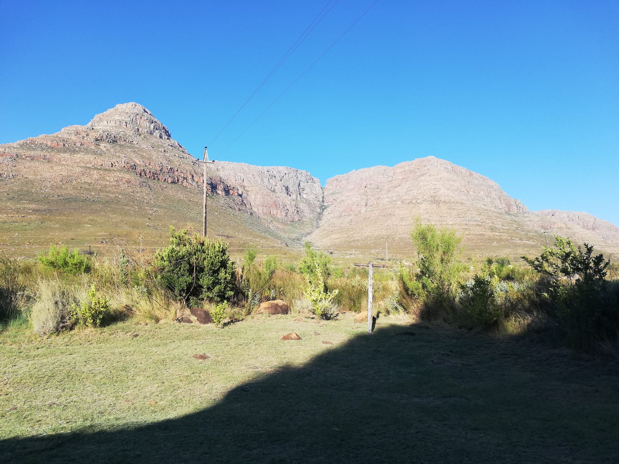
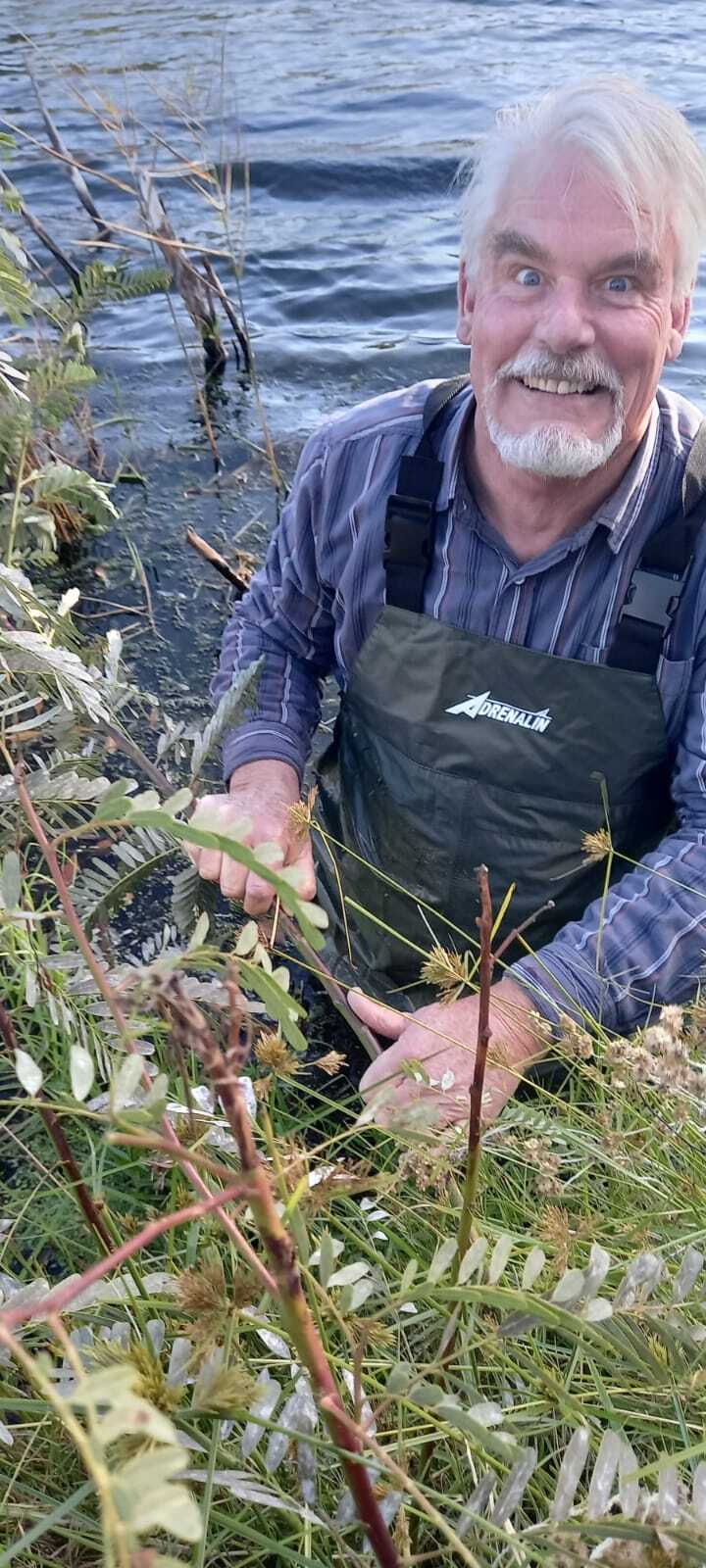
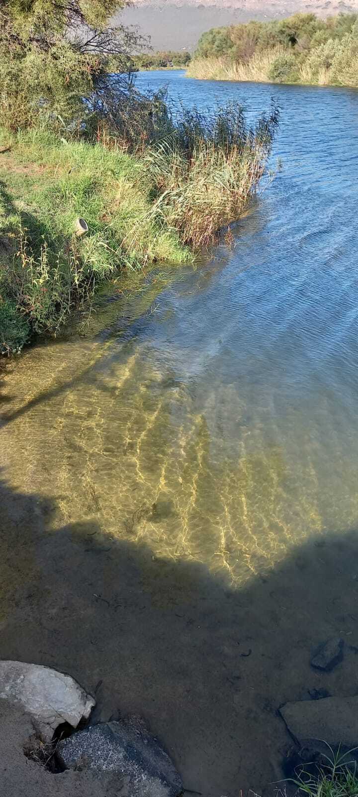
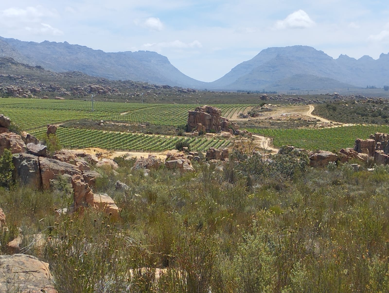
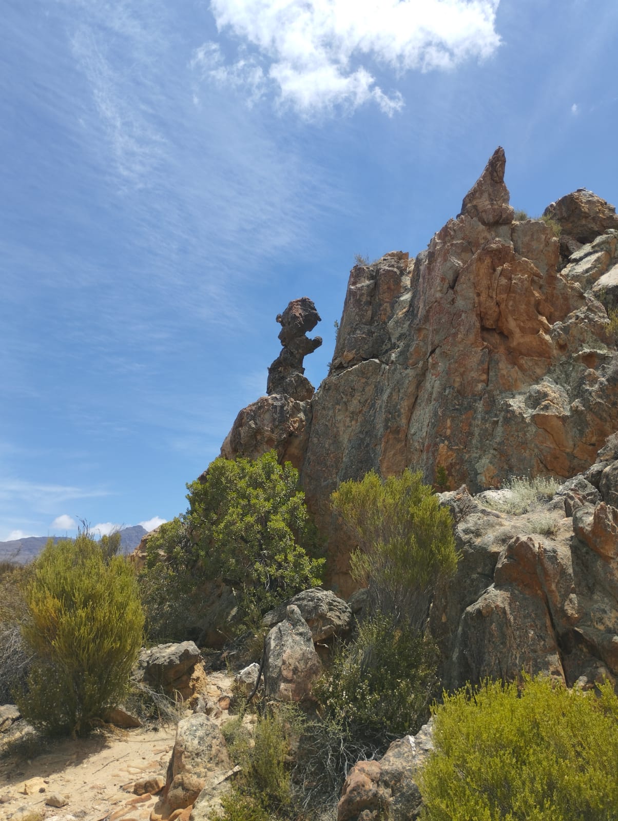
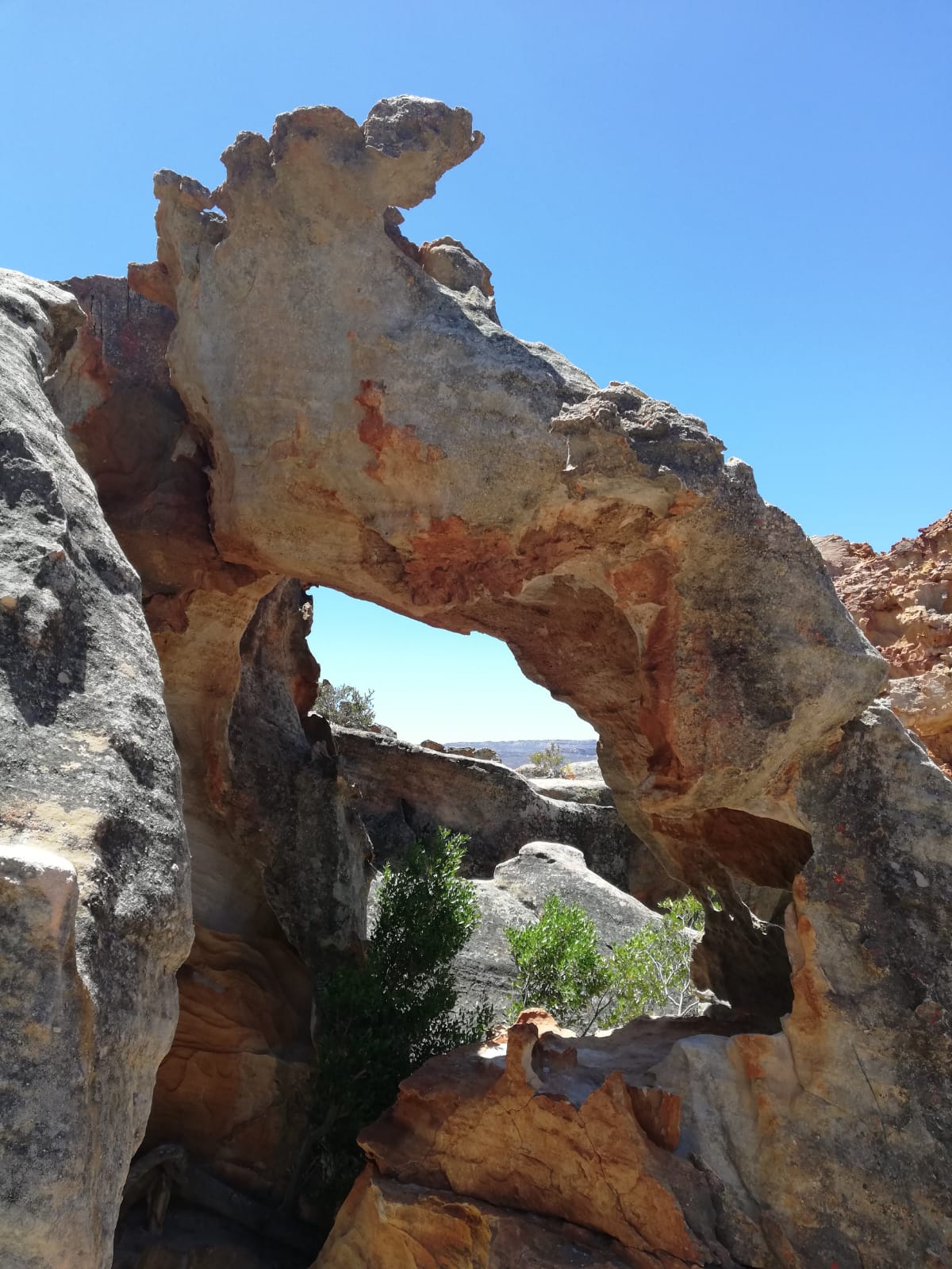
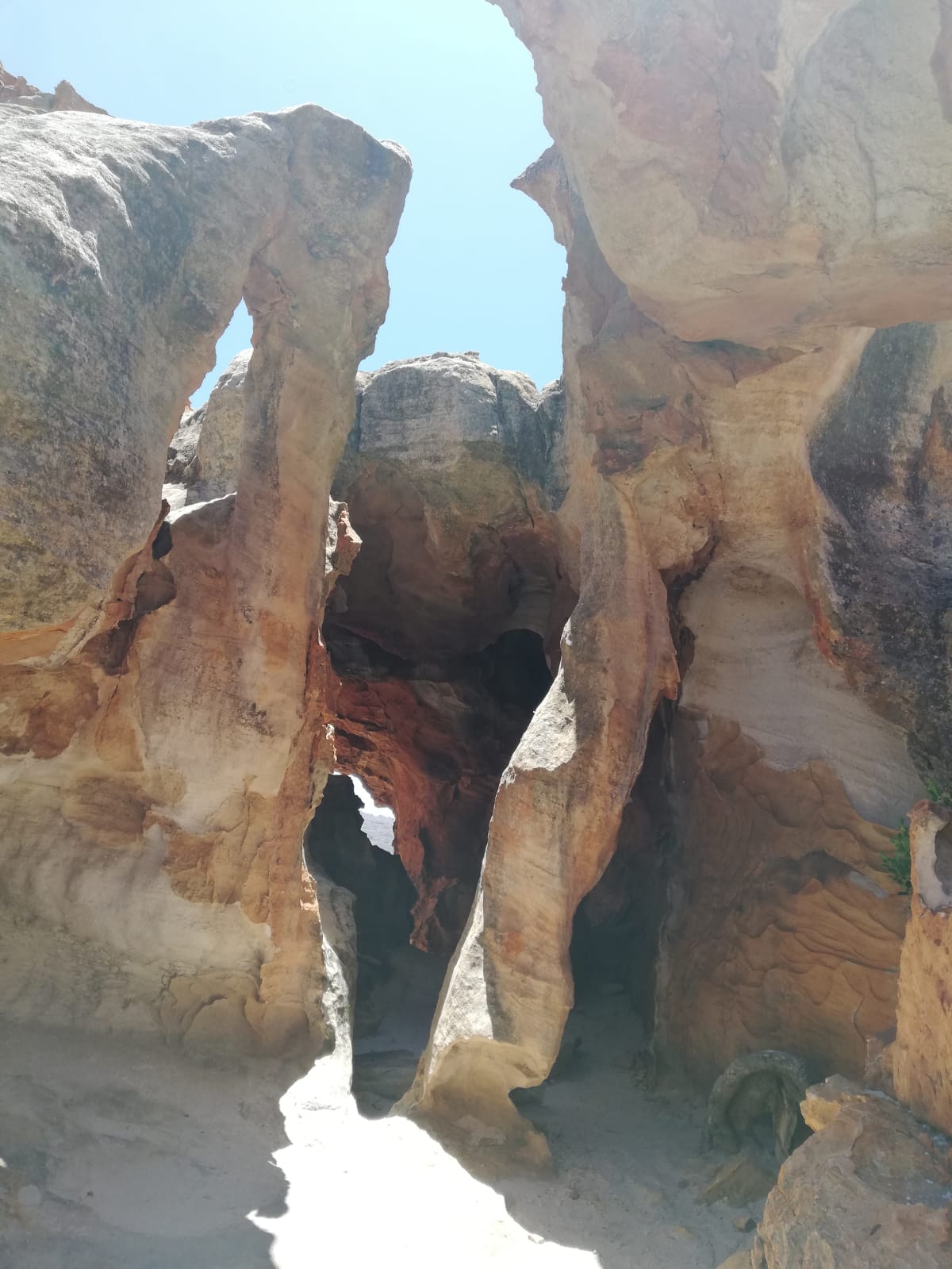
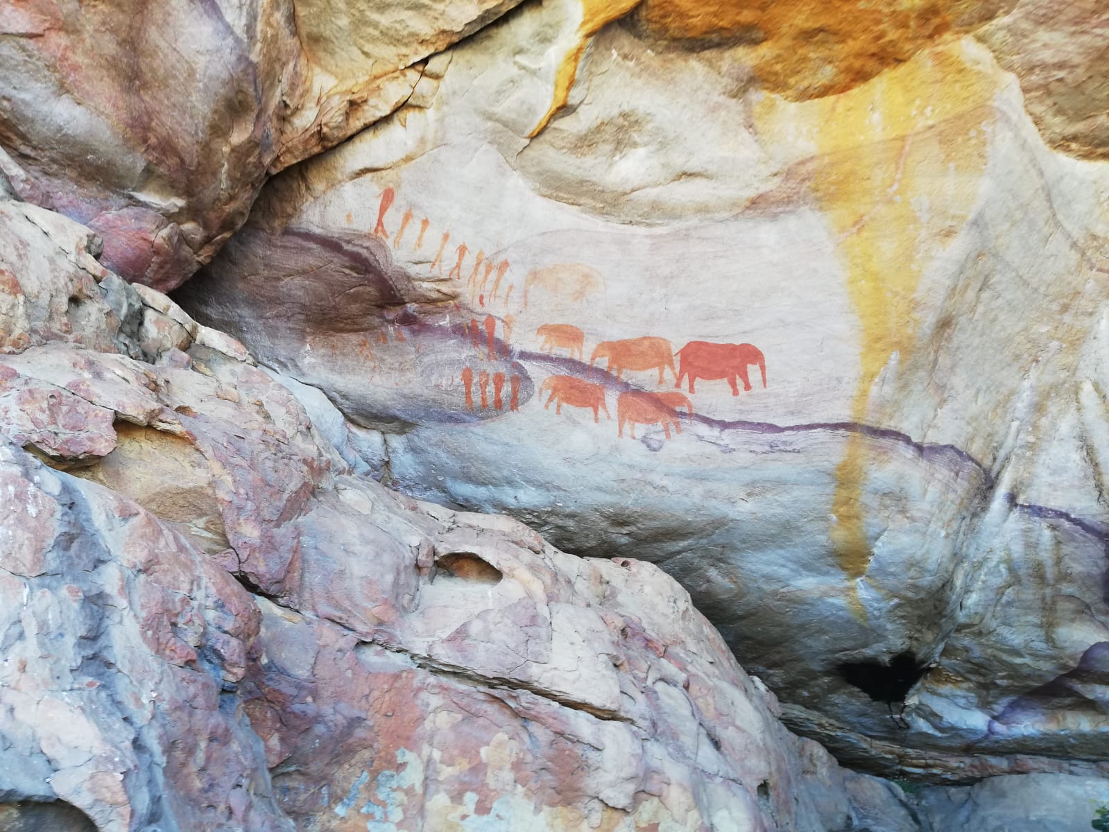
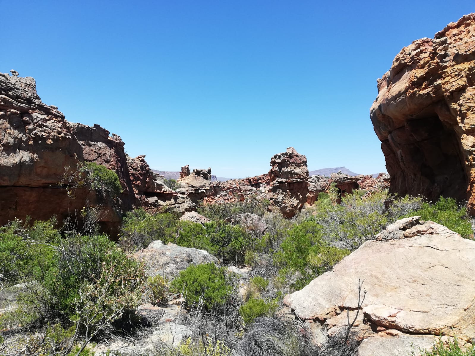
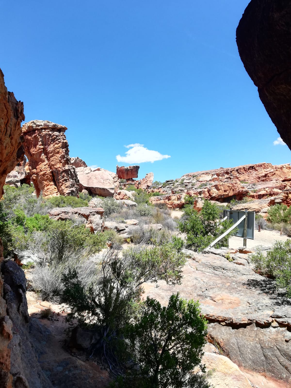
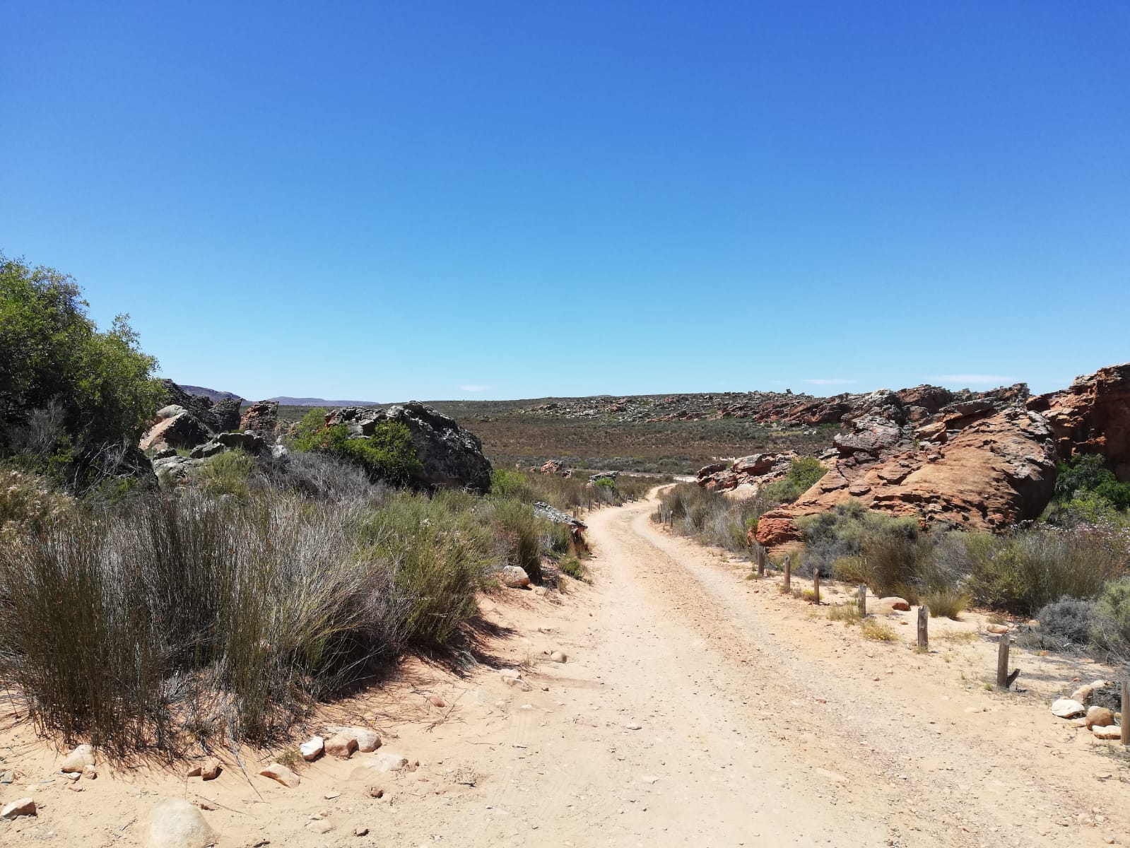
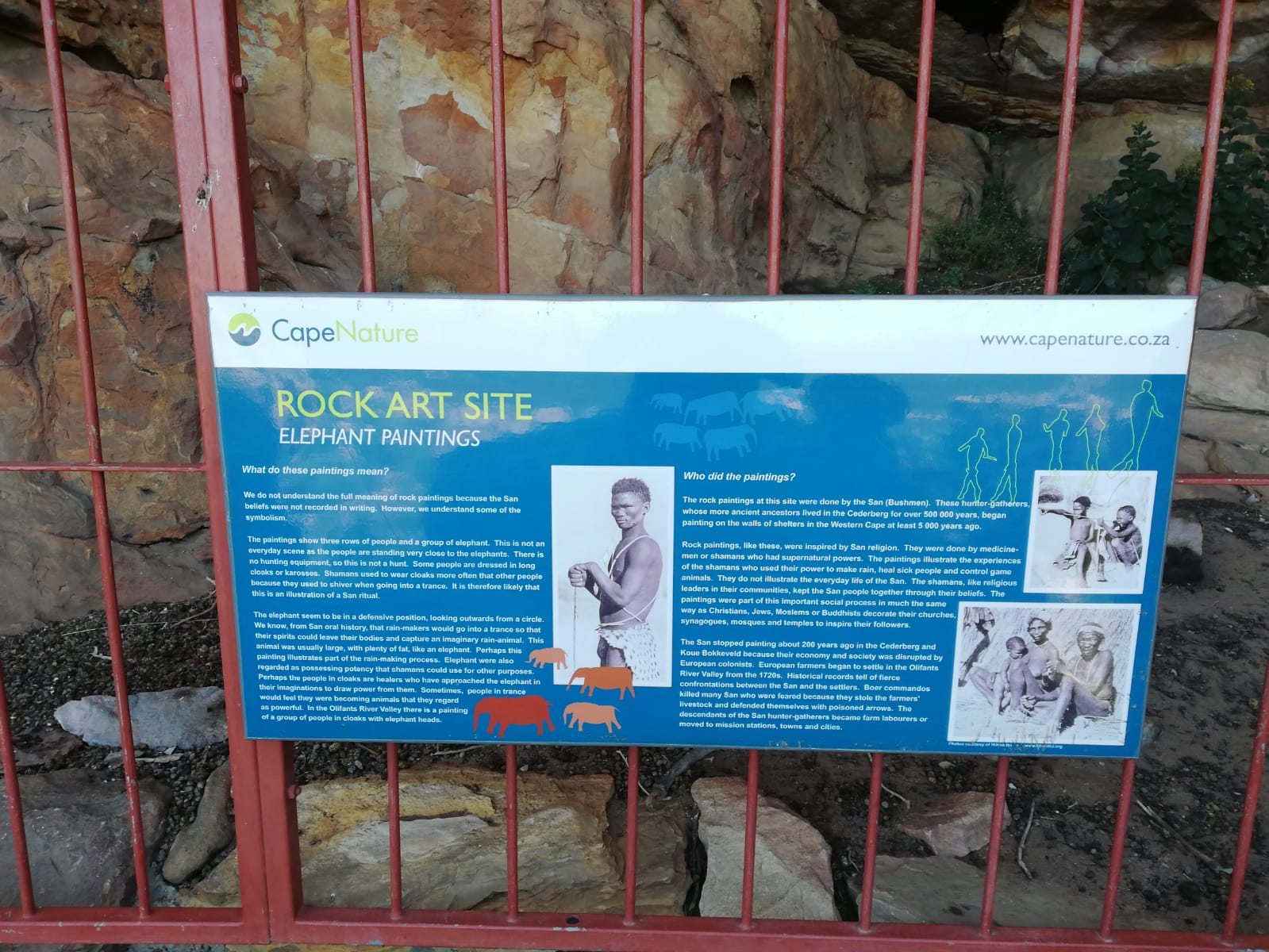
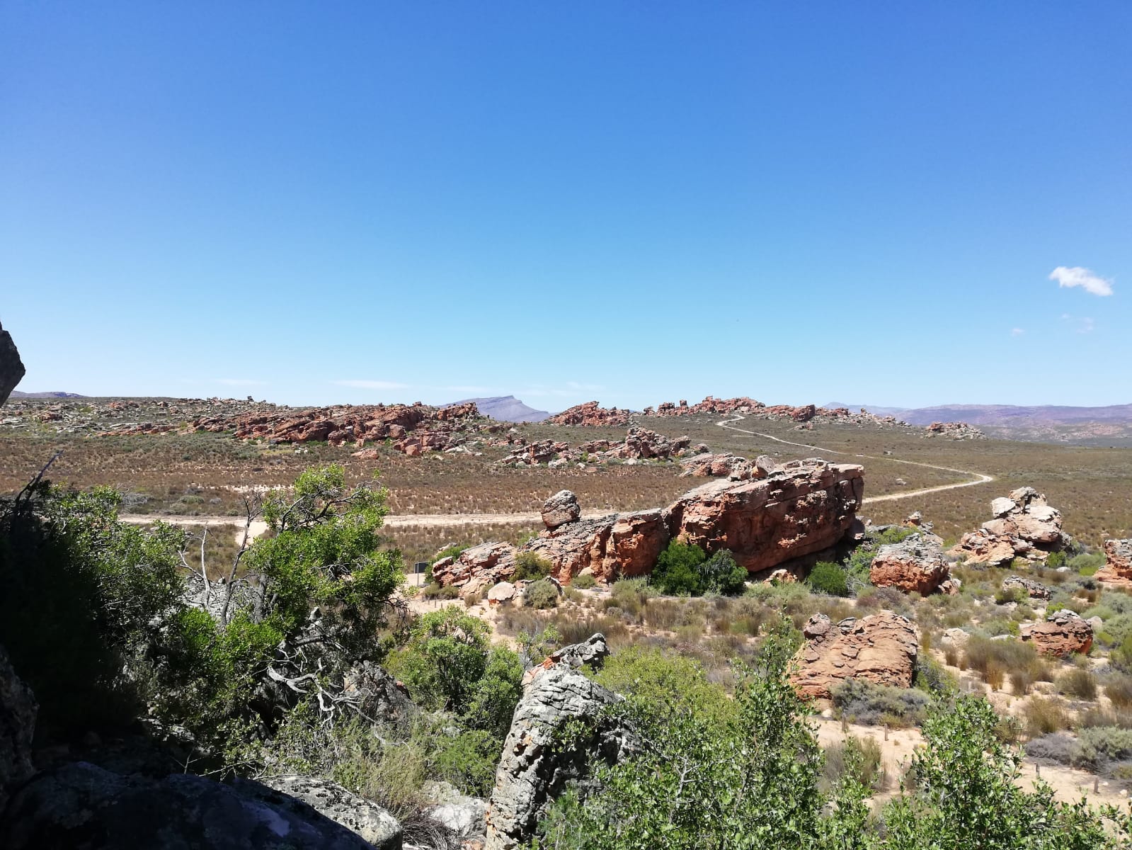
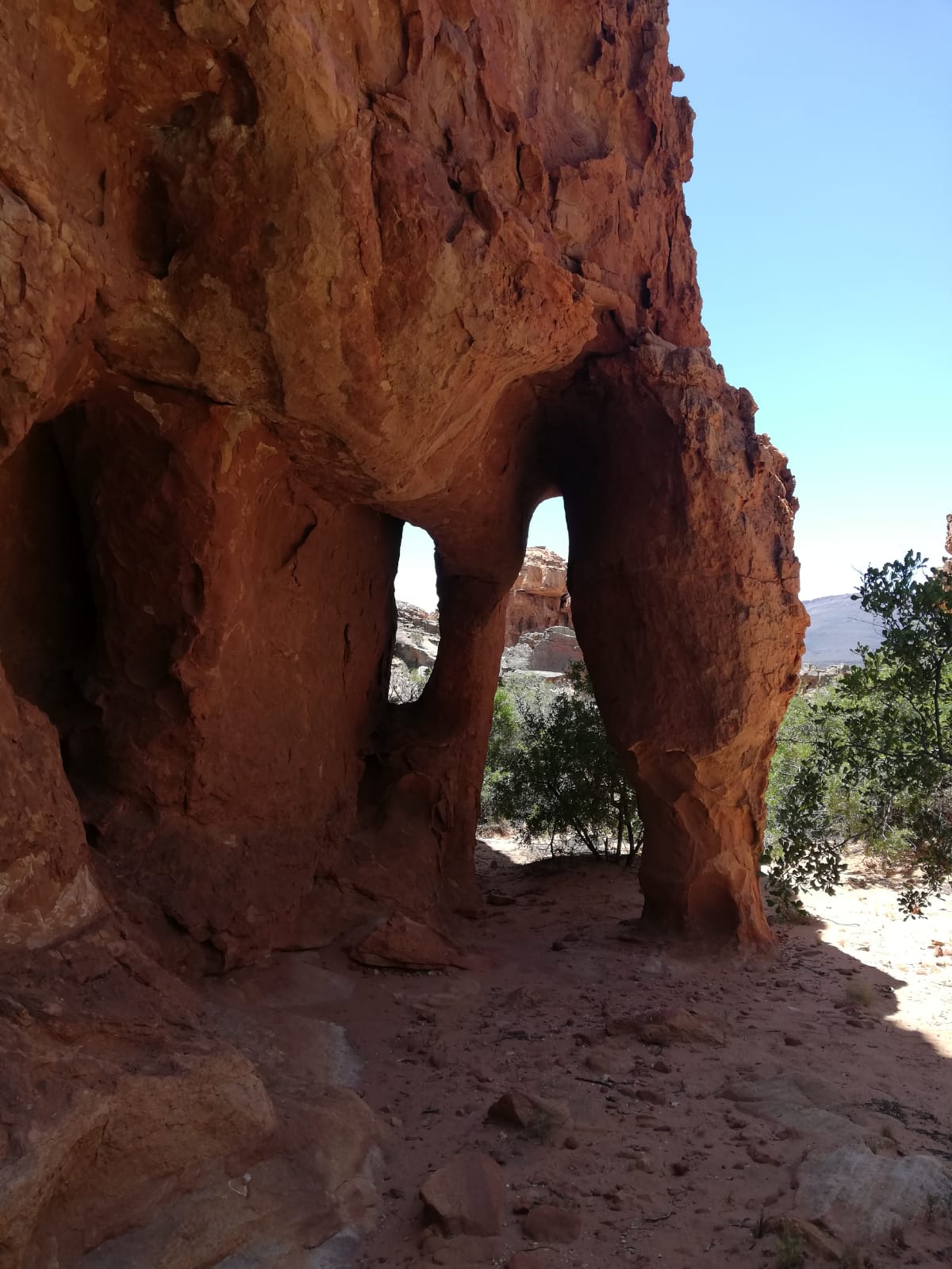
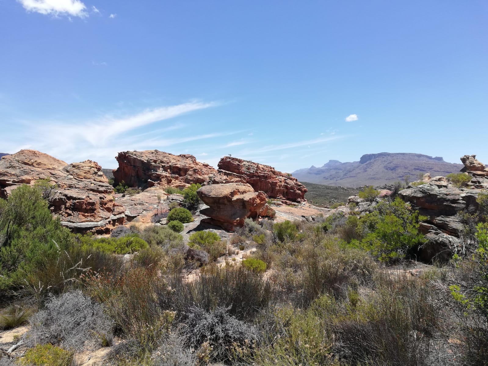
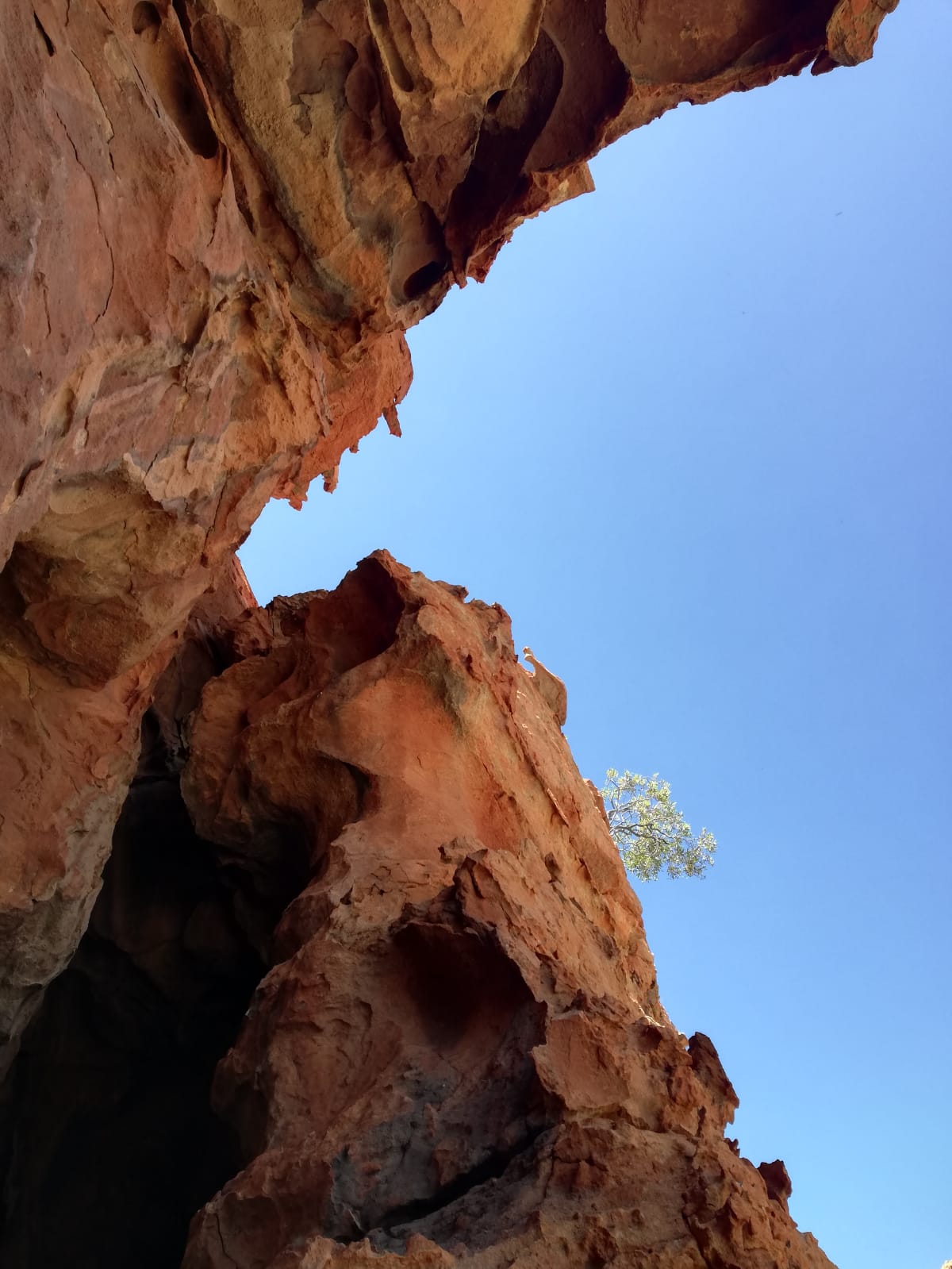
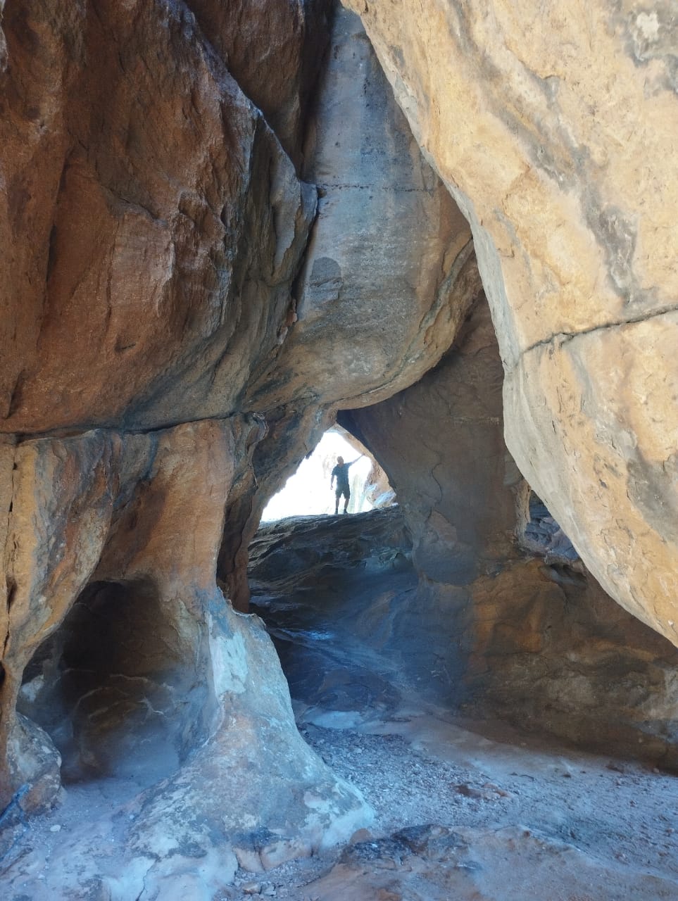
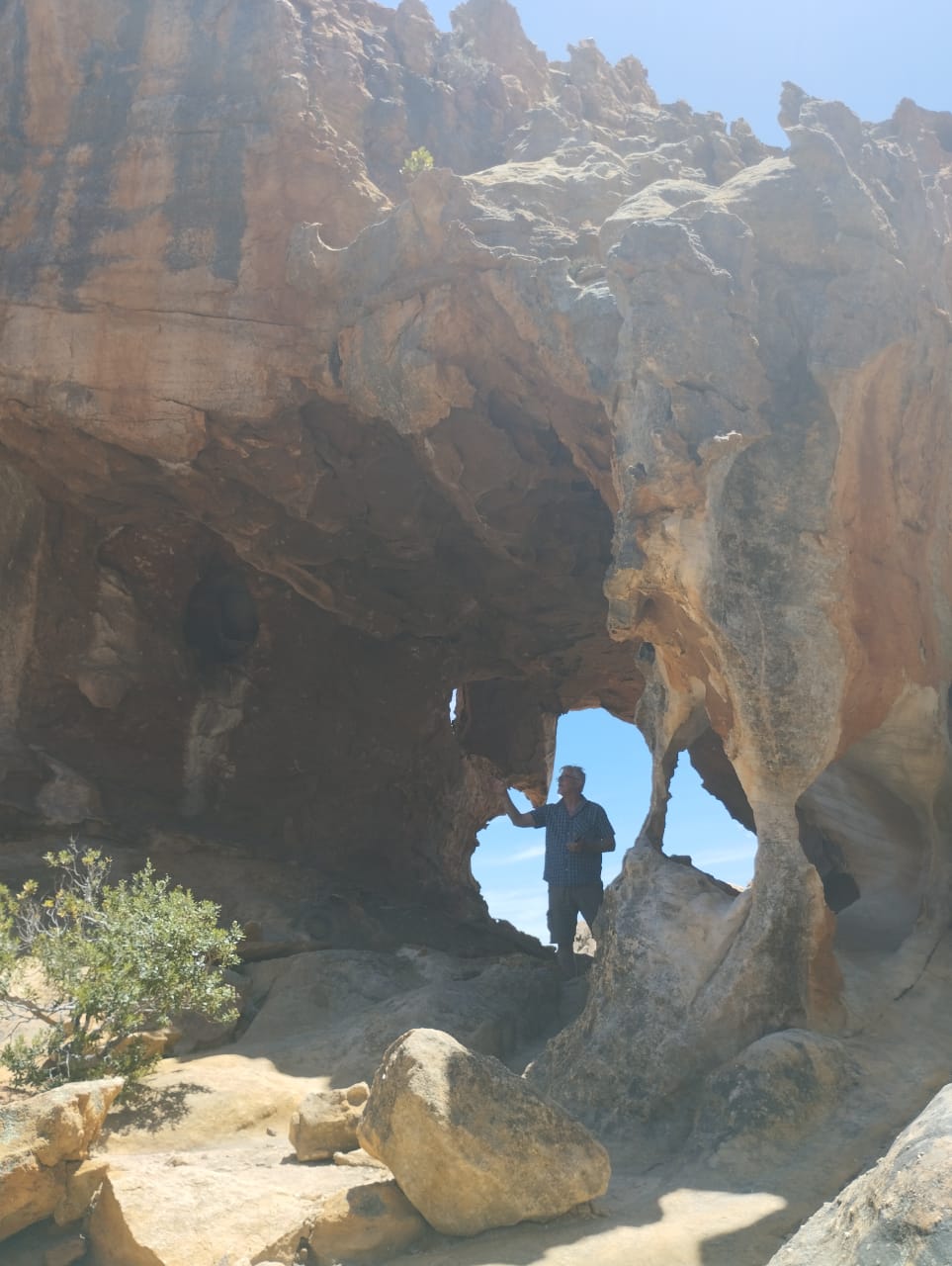
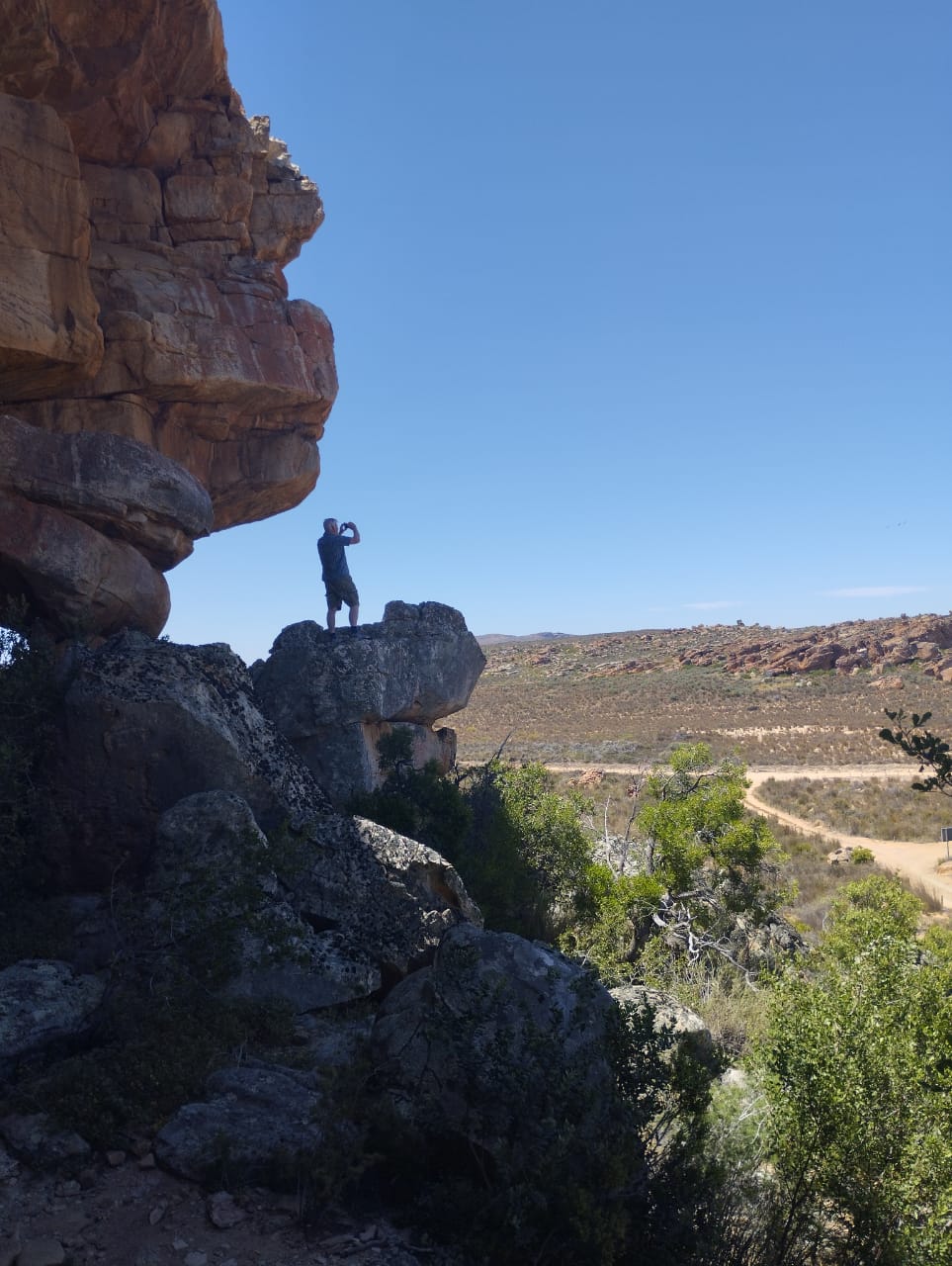
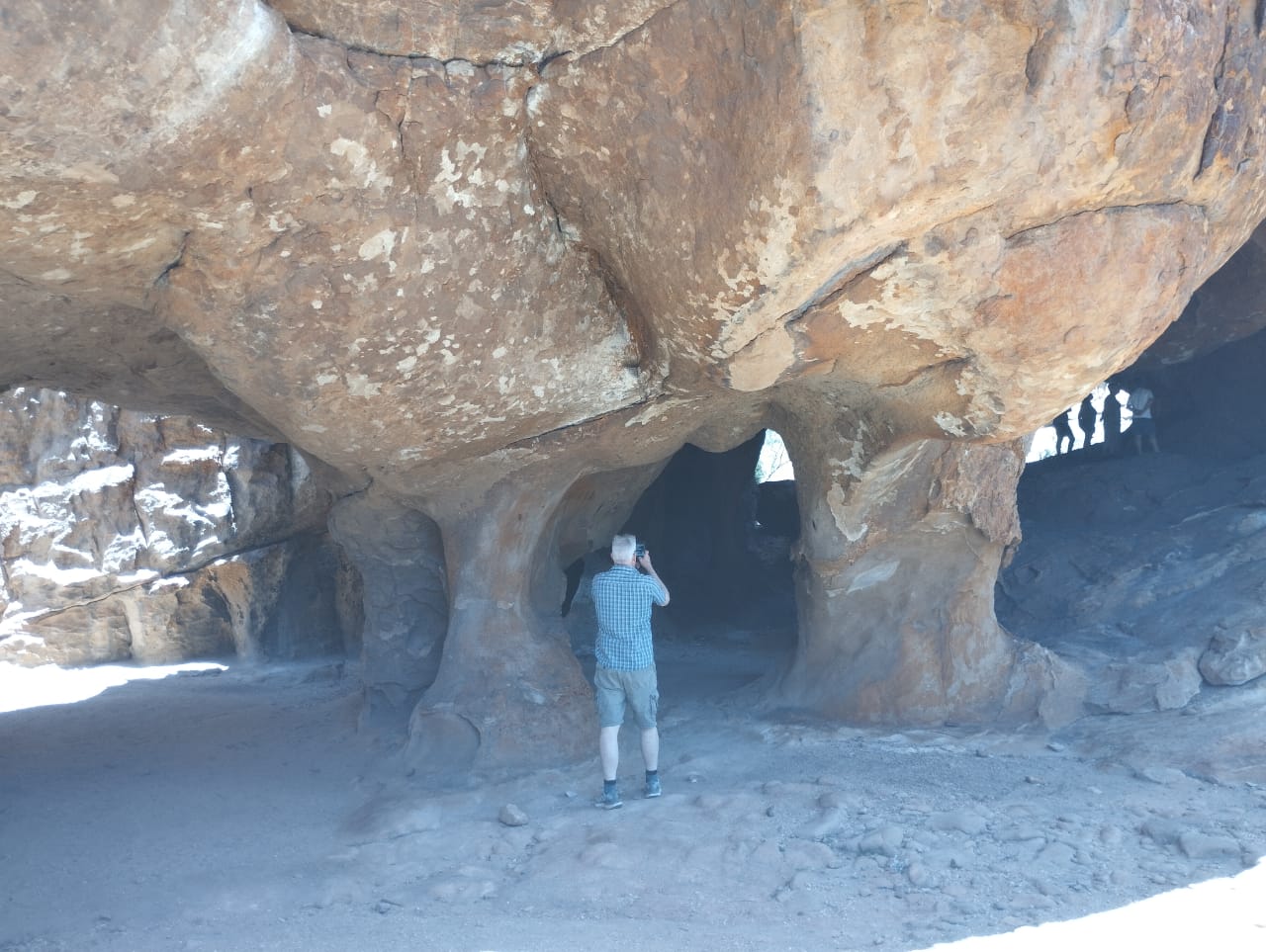
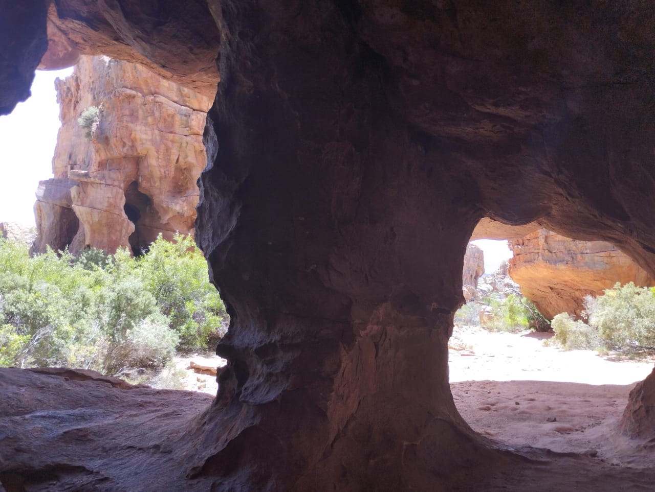
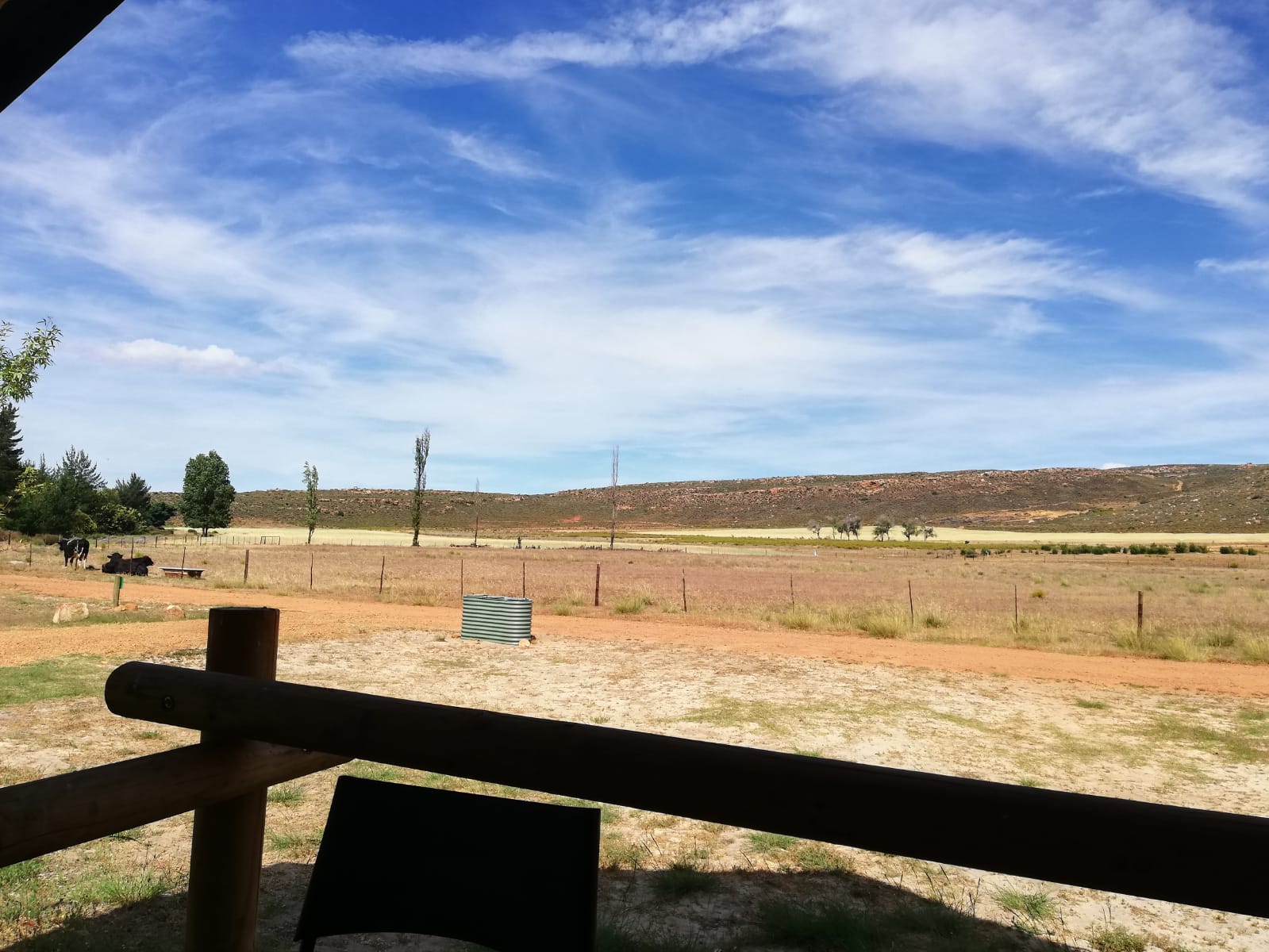
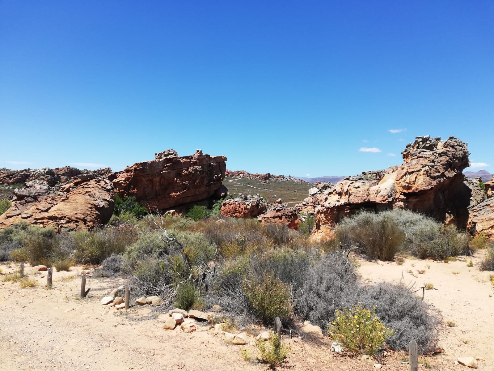
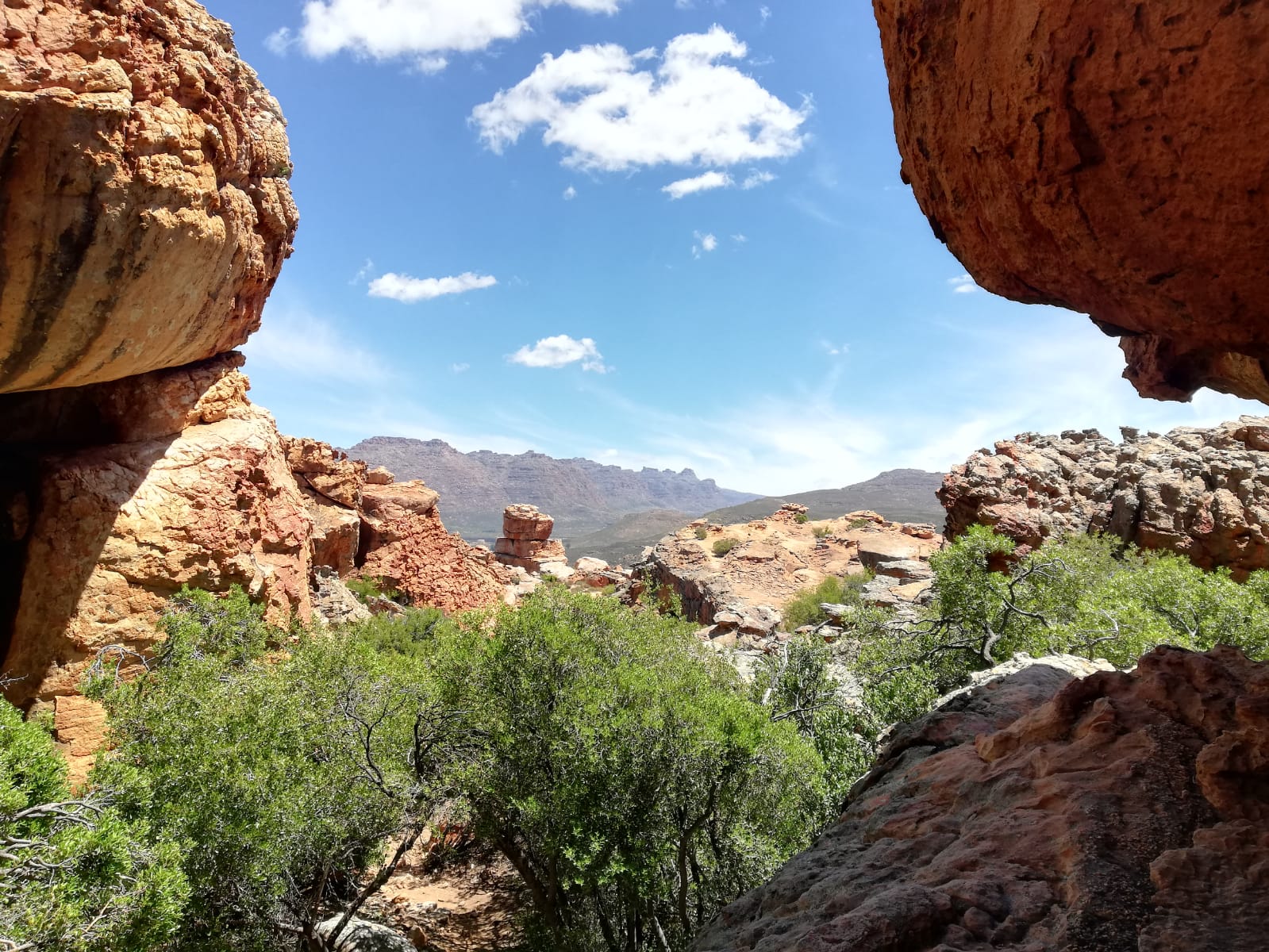
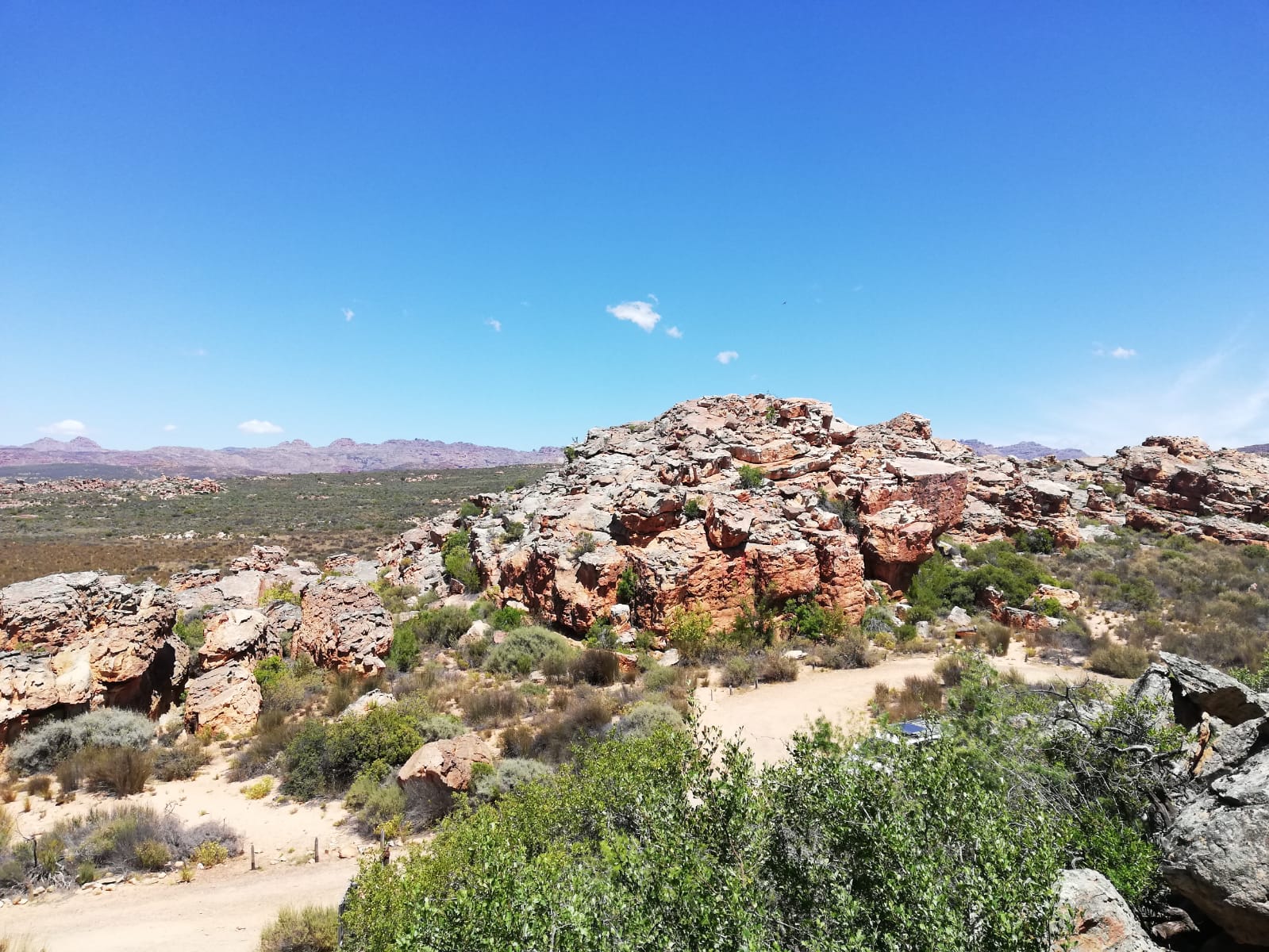
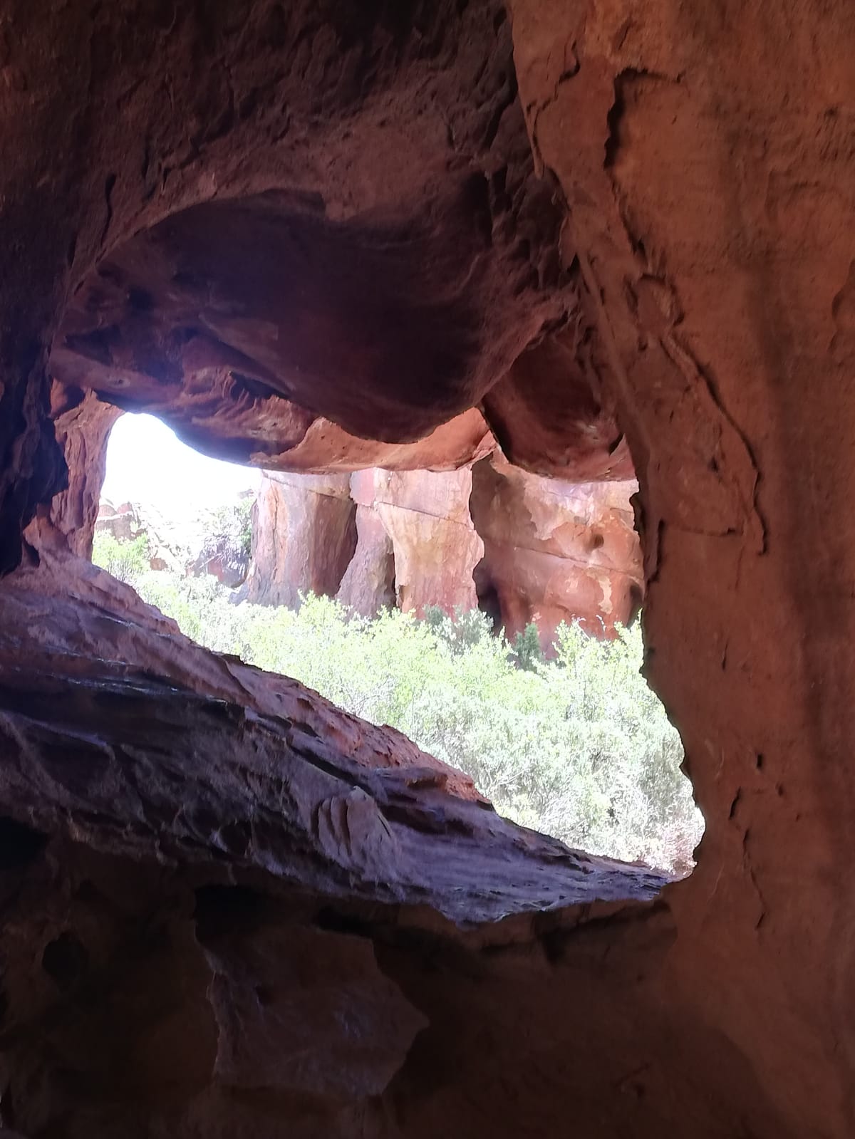
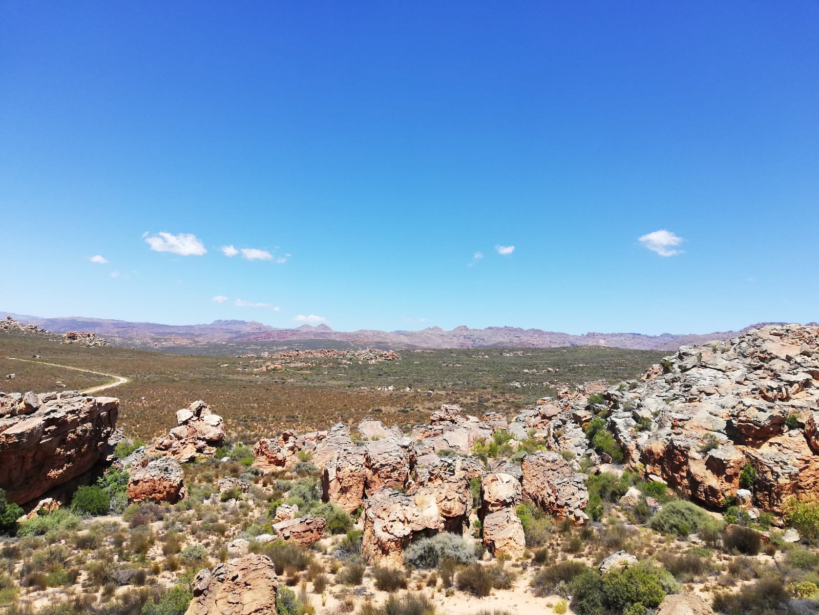
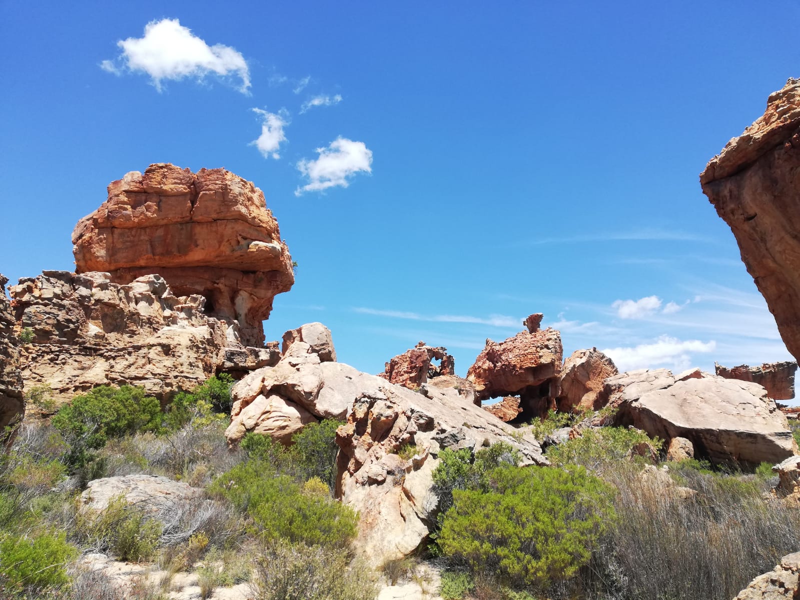
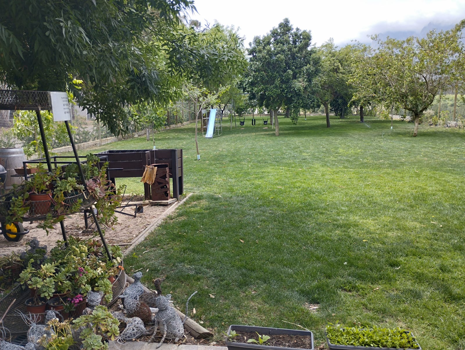
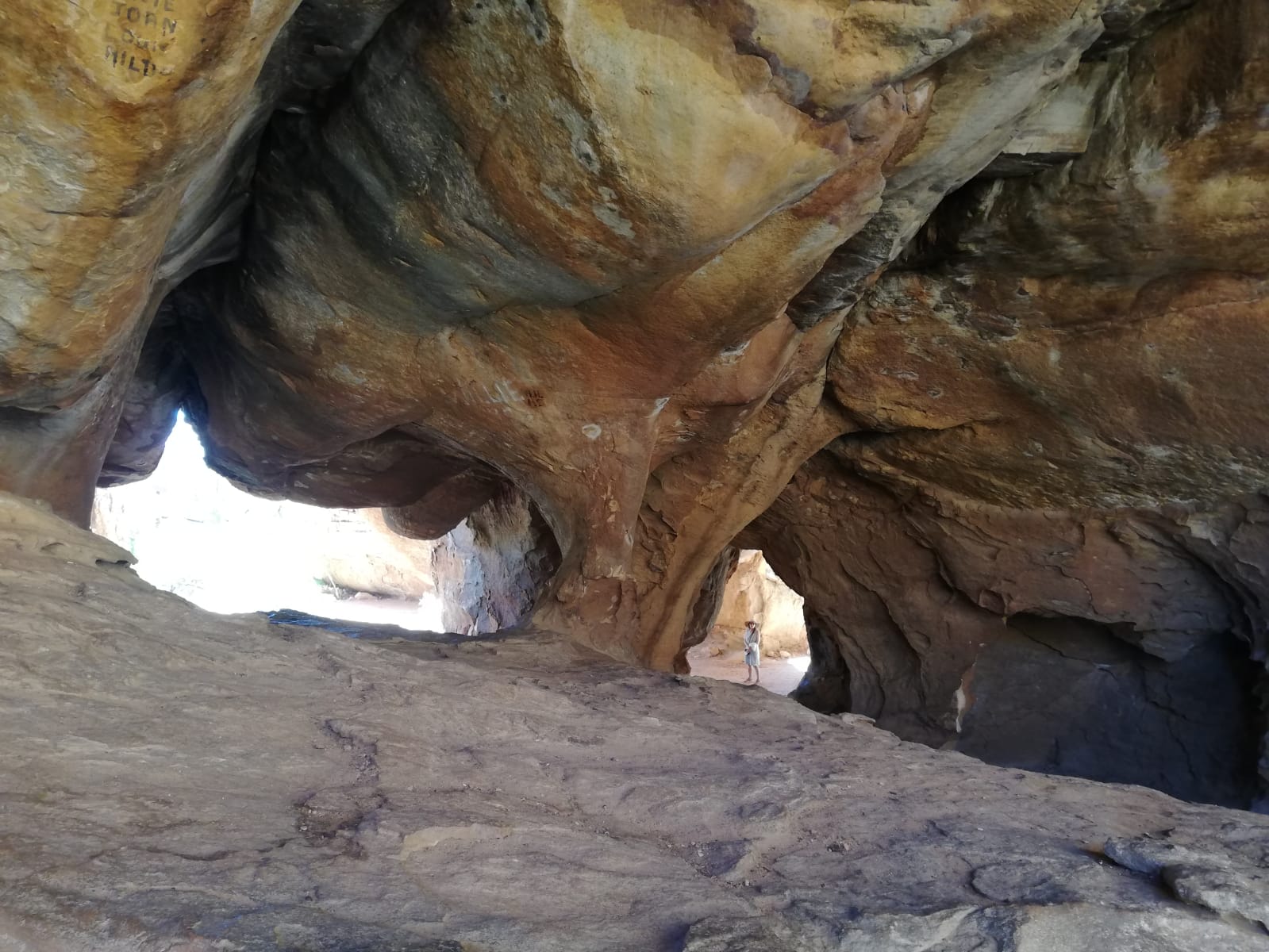
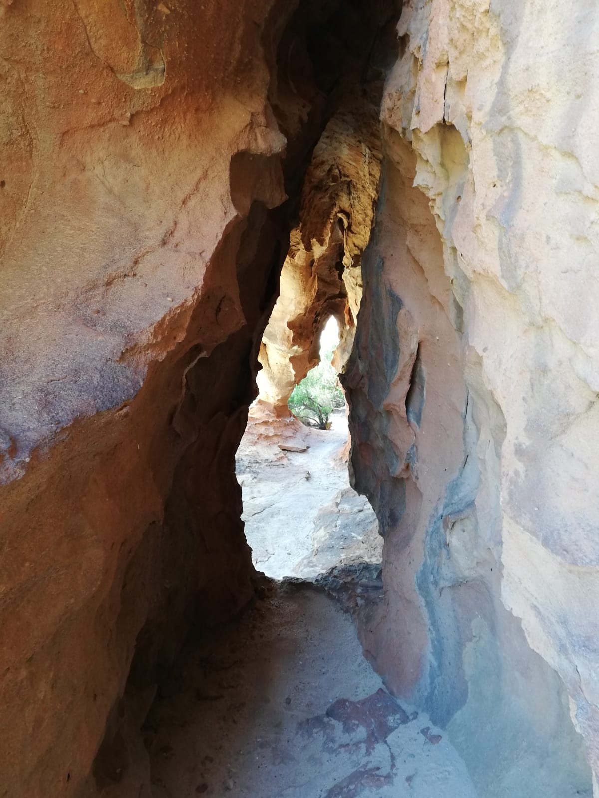
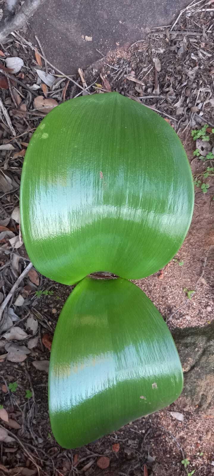
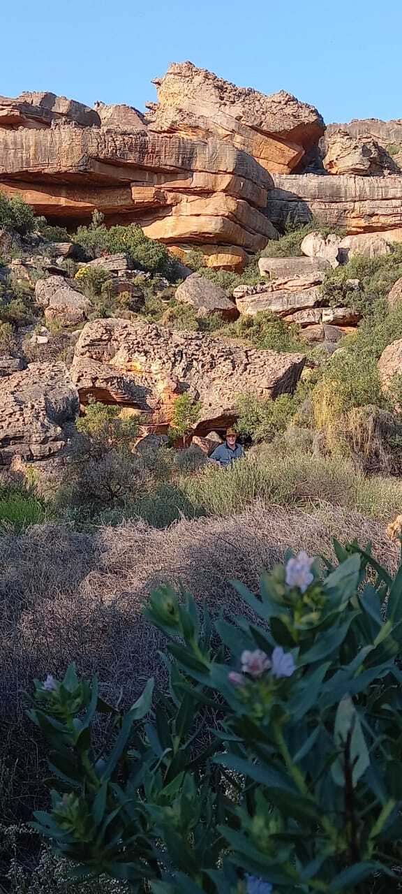
After a quick unpack of his 4 ammo storage boxes, Ralph rumbled slowly along the gravel roads to the Campsites, small farm dam and then we alighted to take a 5 km hike to the small waterfall in the nearby mountains. The campsites were 50% occupied by either families or climber adventure types and mountain cyclists. Jeremy wandered off leaving Andrea and there was 15 minutes of anxious calling and scrambling around as they tried to find each other in the craggy rocks, caves, and undergrowth, not helped by the roar of the tumbling waters and Jeremy’s temporary port side deafness. Having been reunited, Jeremy concluded that he might have dropped his phone somewhere and the walk back in the setting gloom was spent peering at the path in case it had fallen from a pocket. Views were great and the weather a comfortable 24 degrees as the sun dipped below the Pakhuys Pass to the west. The phone, safely tucked away in Ralphs console cubby… 

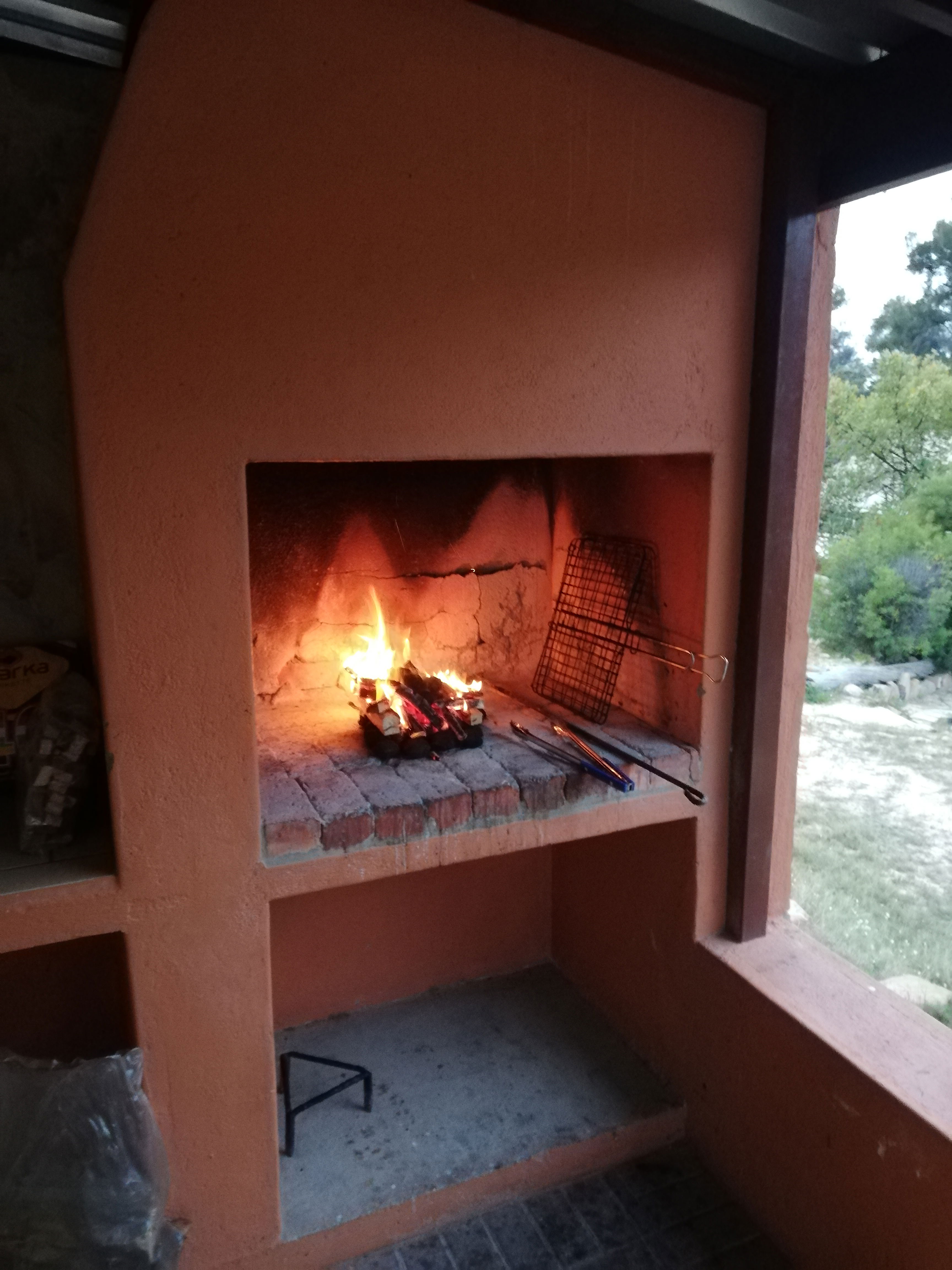
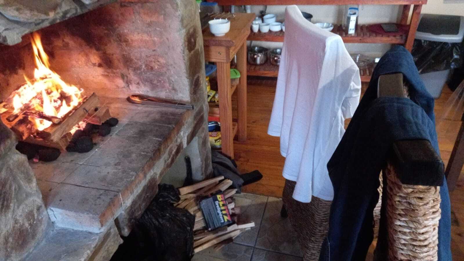
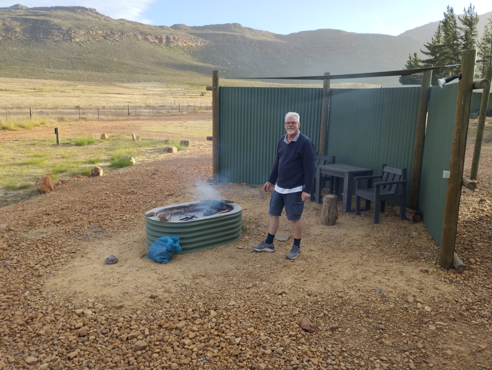
Returning to the Base at De Pakhuys, Ralph was parked up for the night and a fire was lit for lamb chop and boerie braai accompanied by a light salad. The cable TV offered Netflix allowing Andrea and Jeremy to take in another episode of Rake. The cottage was comfortably warm to not need an inside fire so an early night for an early start was pre-empted by lying on the grass outside at the swim pool to take in the milky way and a billion stars of the diamond studded night sky.

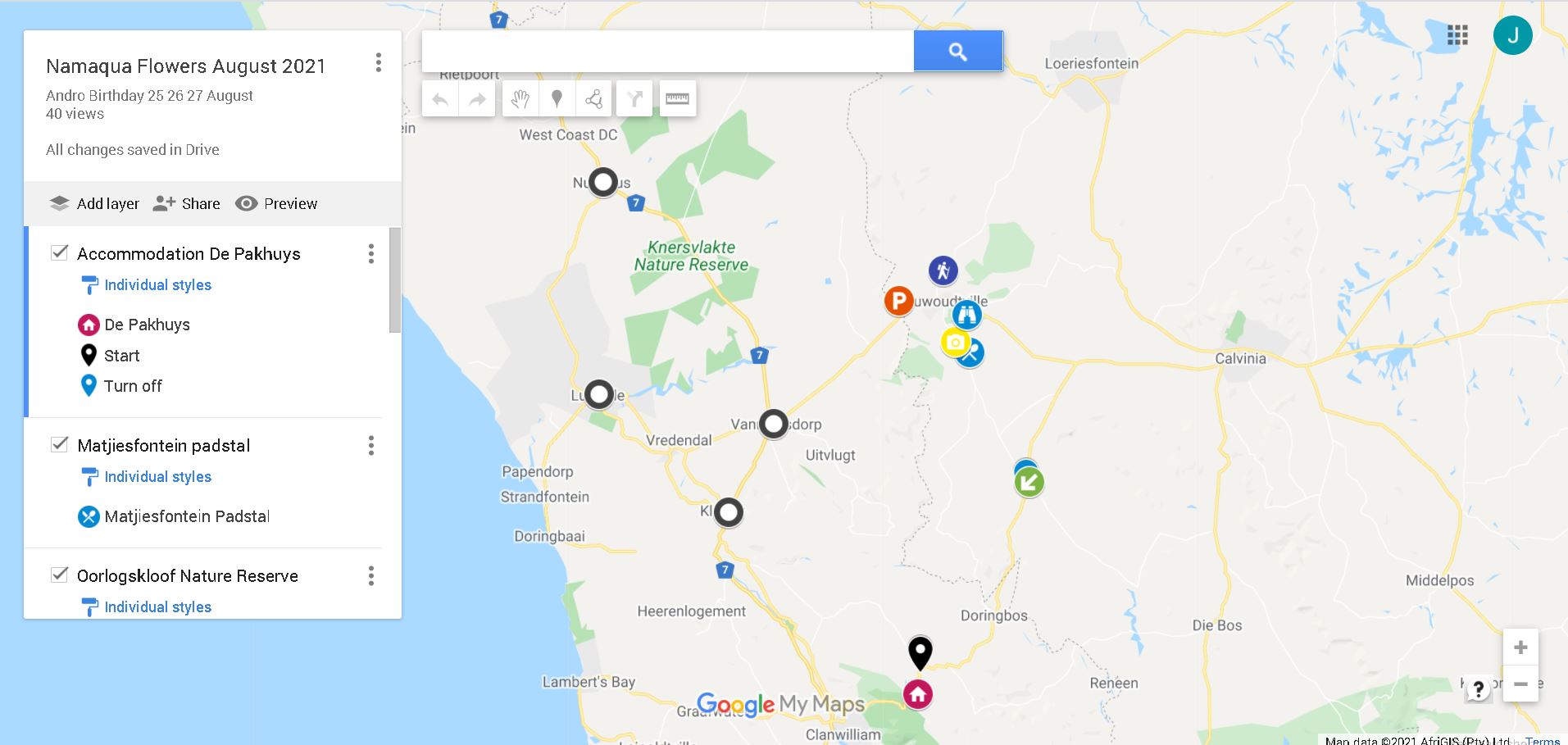
Day 2 – Thursday 26TH August – Circular Route exploring Biedouw, Klawer, Van Rhynsdorp, Lutzville, Van Rhyns Pass, Bagdad Café, Nieuwoudtville, Nieuwoudtville Waterfall, Oorlogskloof National Flower Park, Hantam Botanical Gardens, Nieuwoudtville Town, Matjiesfontein Padstal, and return via R364 SE, S and SW:   

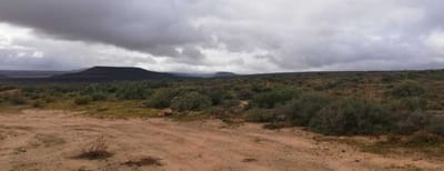
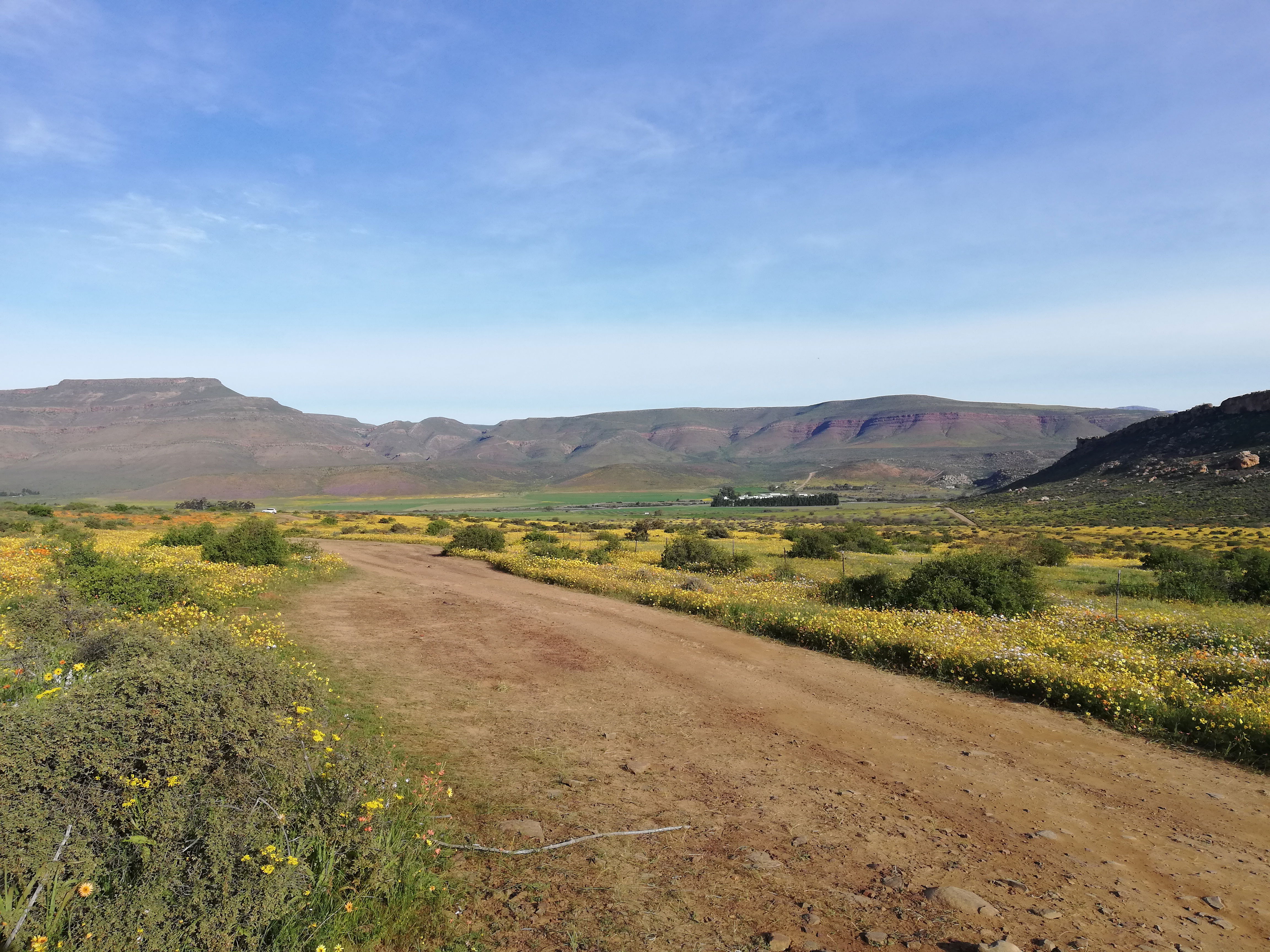
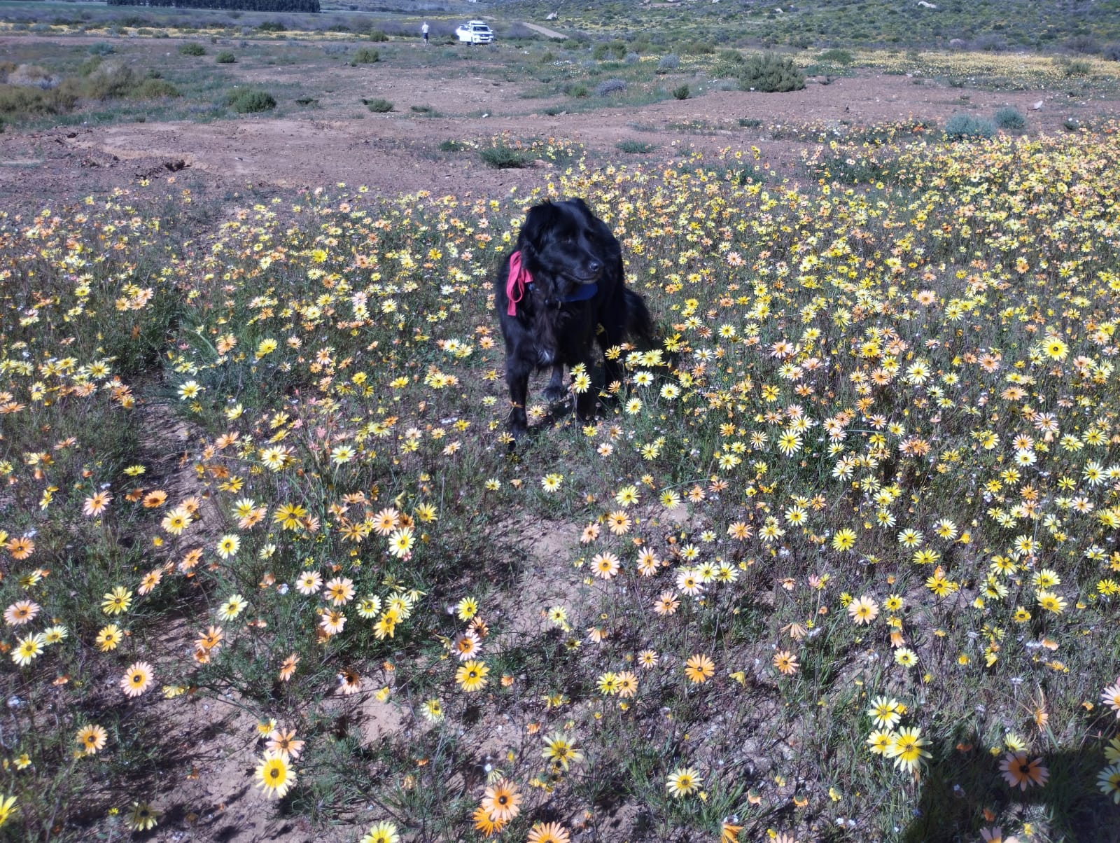
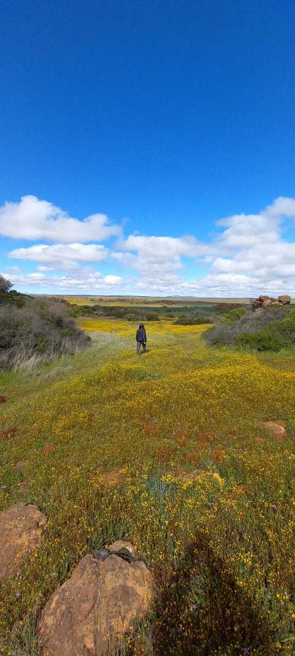
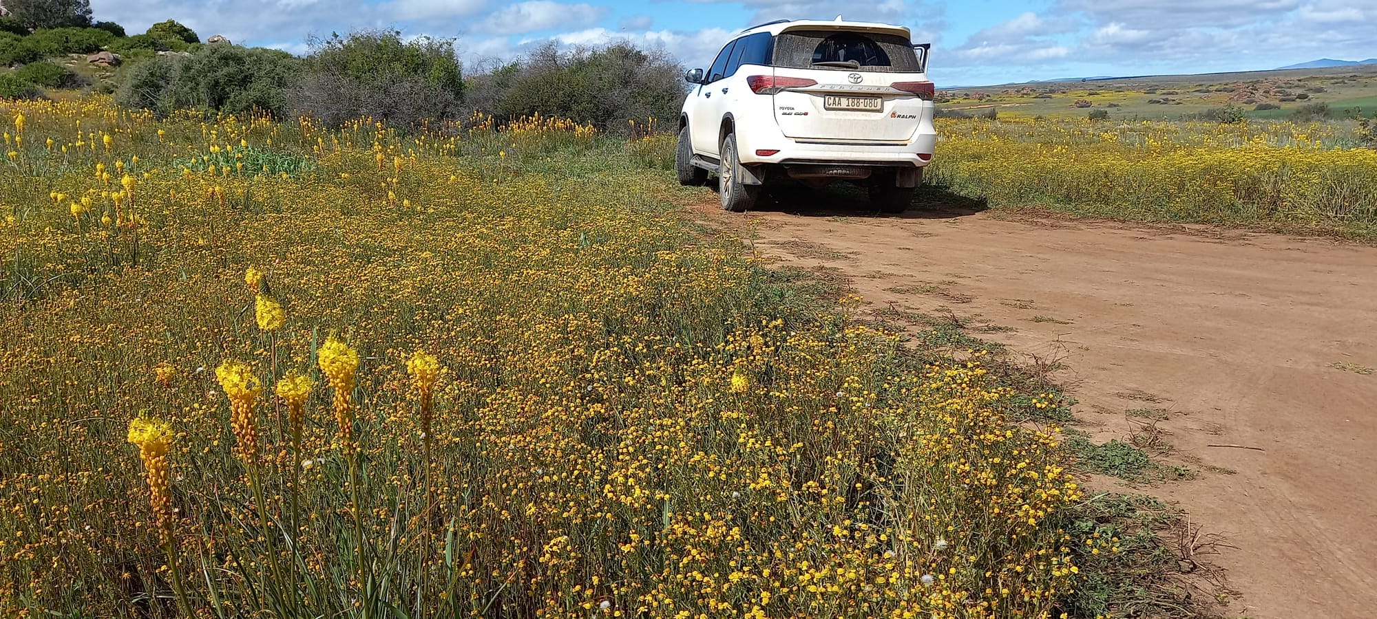
On a whim a decision was made to head towards Biedouw Valley and the 26 km gravel road to the Biedouw Valley Enjo Campsite. After a scrambled egg, bacon and tomato fry-up Ralph headed off at 0800 due west to the top of a short climb on the R364 in search of the Biedouw Valley turn off. The mist lay heavy and damp with visibility down to 200 meters or less. After a short distance it was realised that it would not be conducive to see flowers for some time and a decision to reverse the well-planned itinerary route was arrived at. Ralph did a narrow 3-point turn in the mist and headed back to the safety of the R364 tar. Turning right onto the R364 with a northerly heading, the tarred section of the R364 ended abruptly with a sharp right turn and a narrow stony gravel road with a sheer unprotected drop-off on the left. One vehicle came past whilst Jeremy and Andrea pondered the situation. The decision to reverse the itinerary was agreed on and Ralph turned his nose back to the South for a run to Klawer whilst the mist cleared.

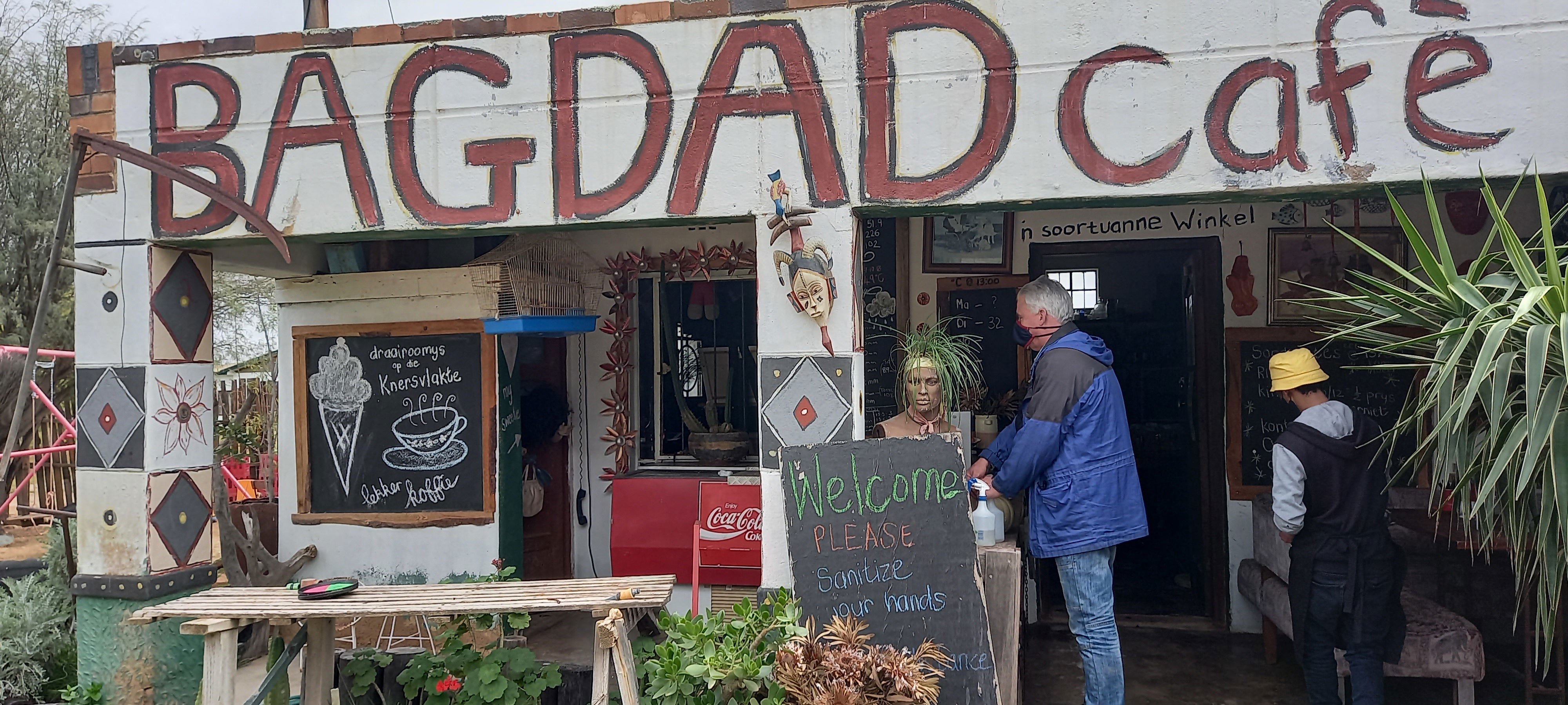
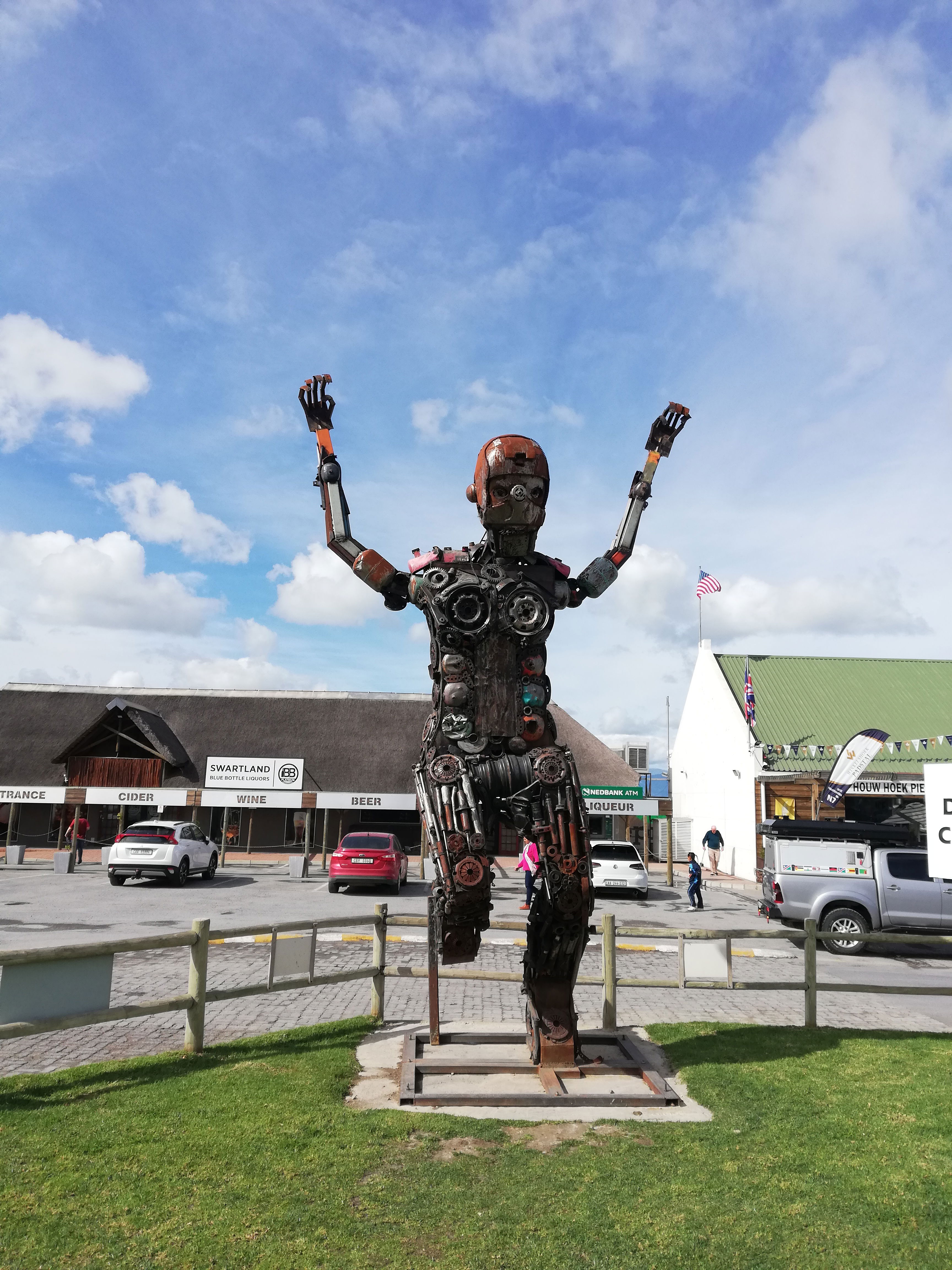
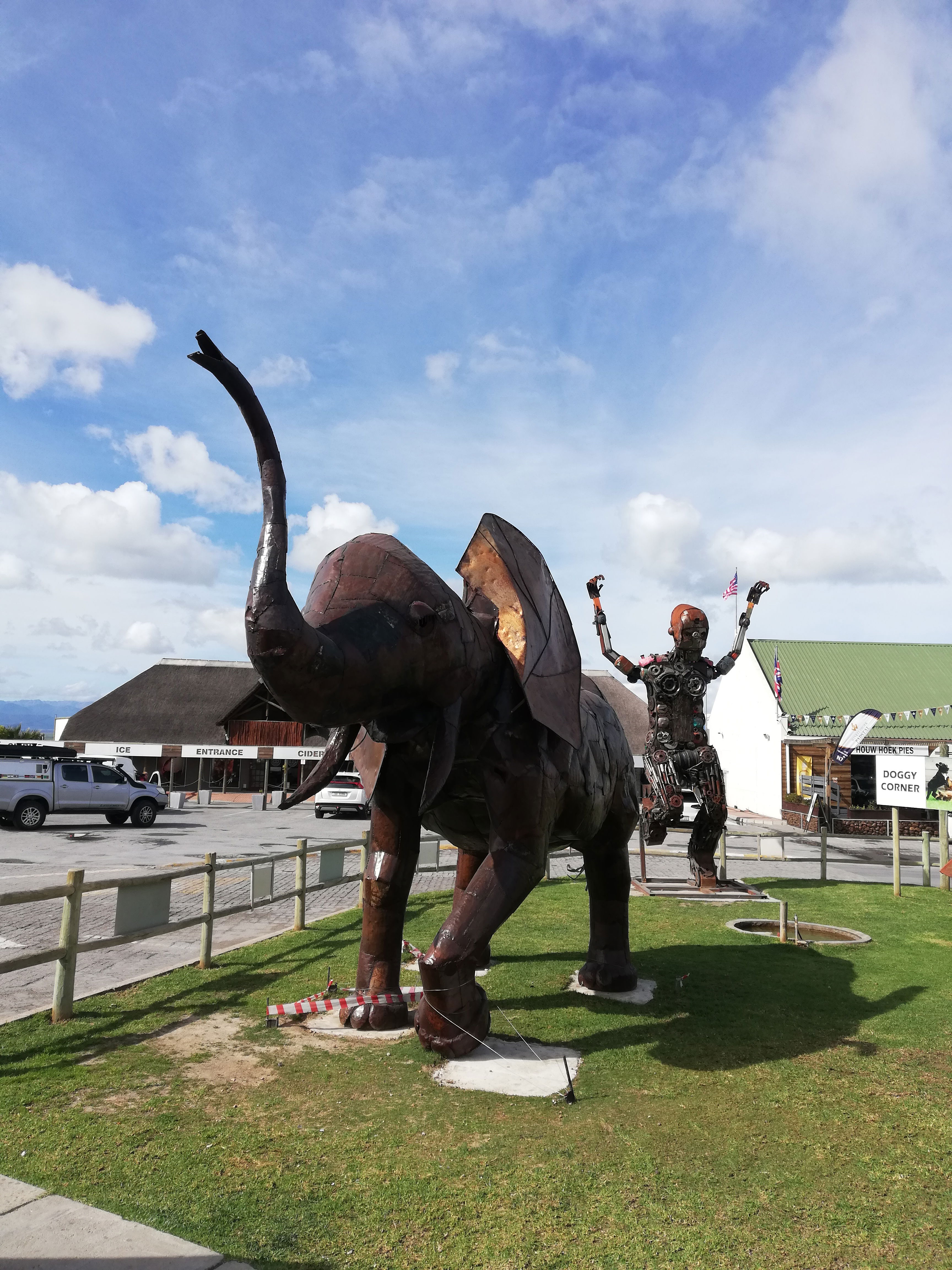
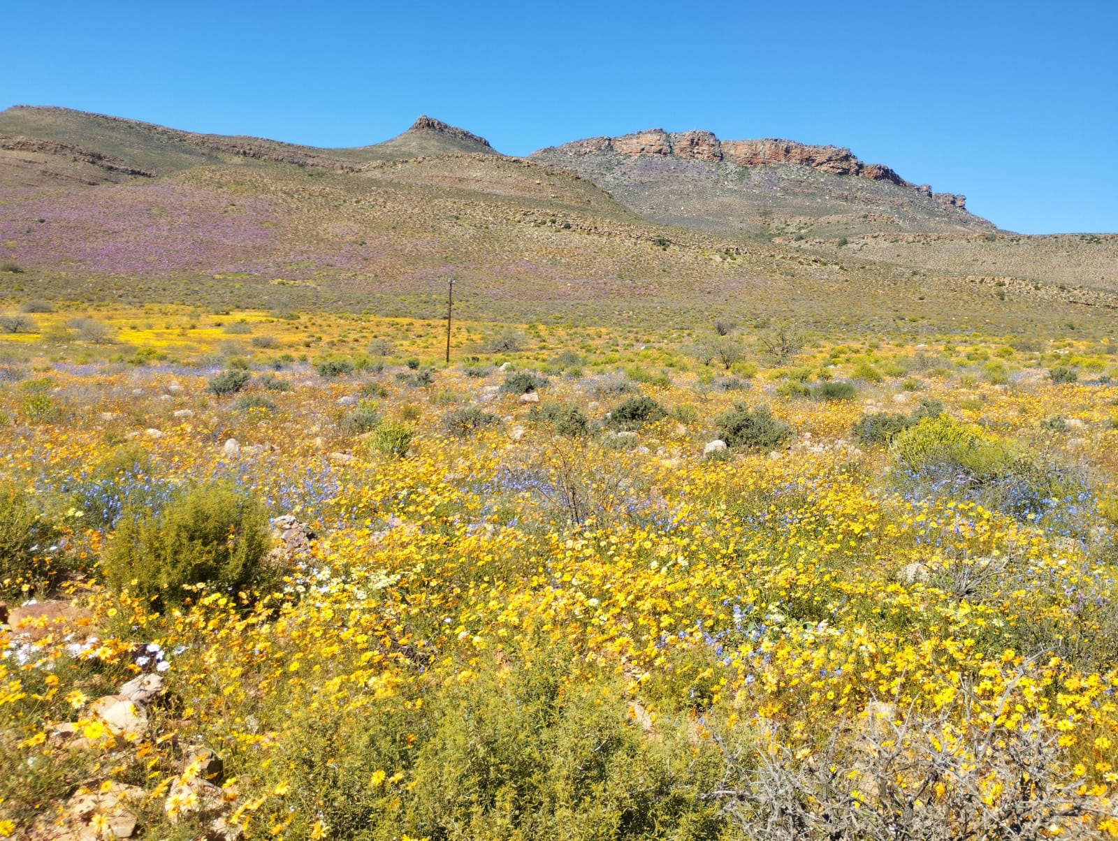
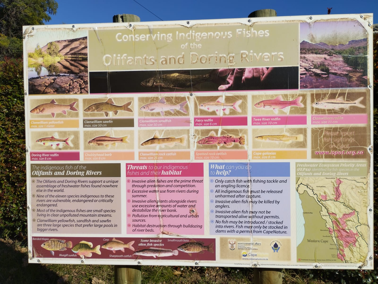
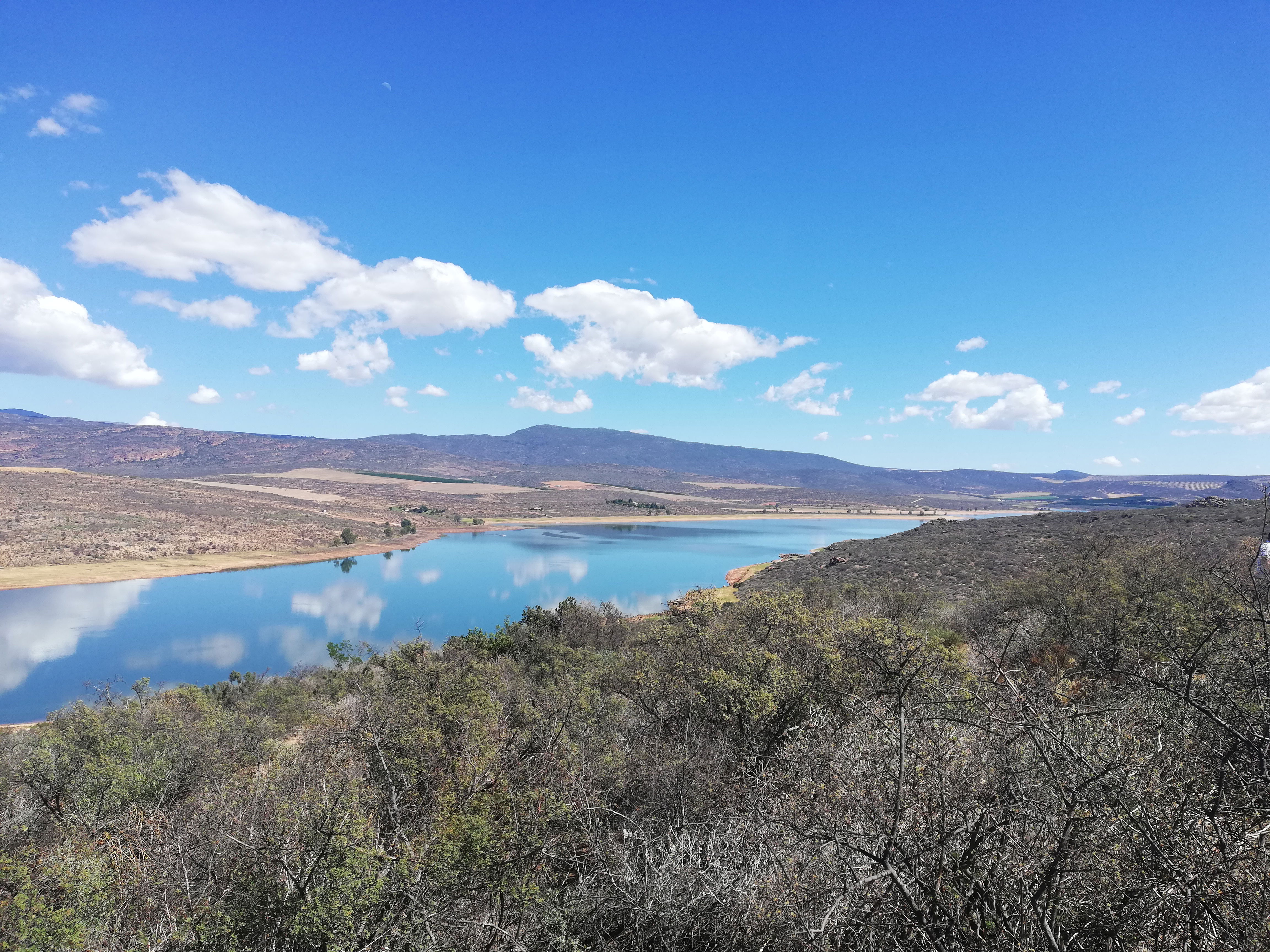
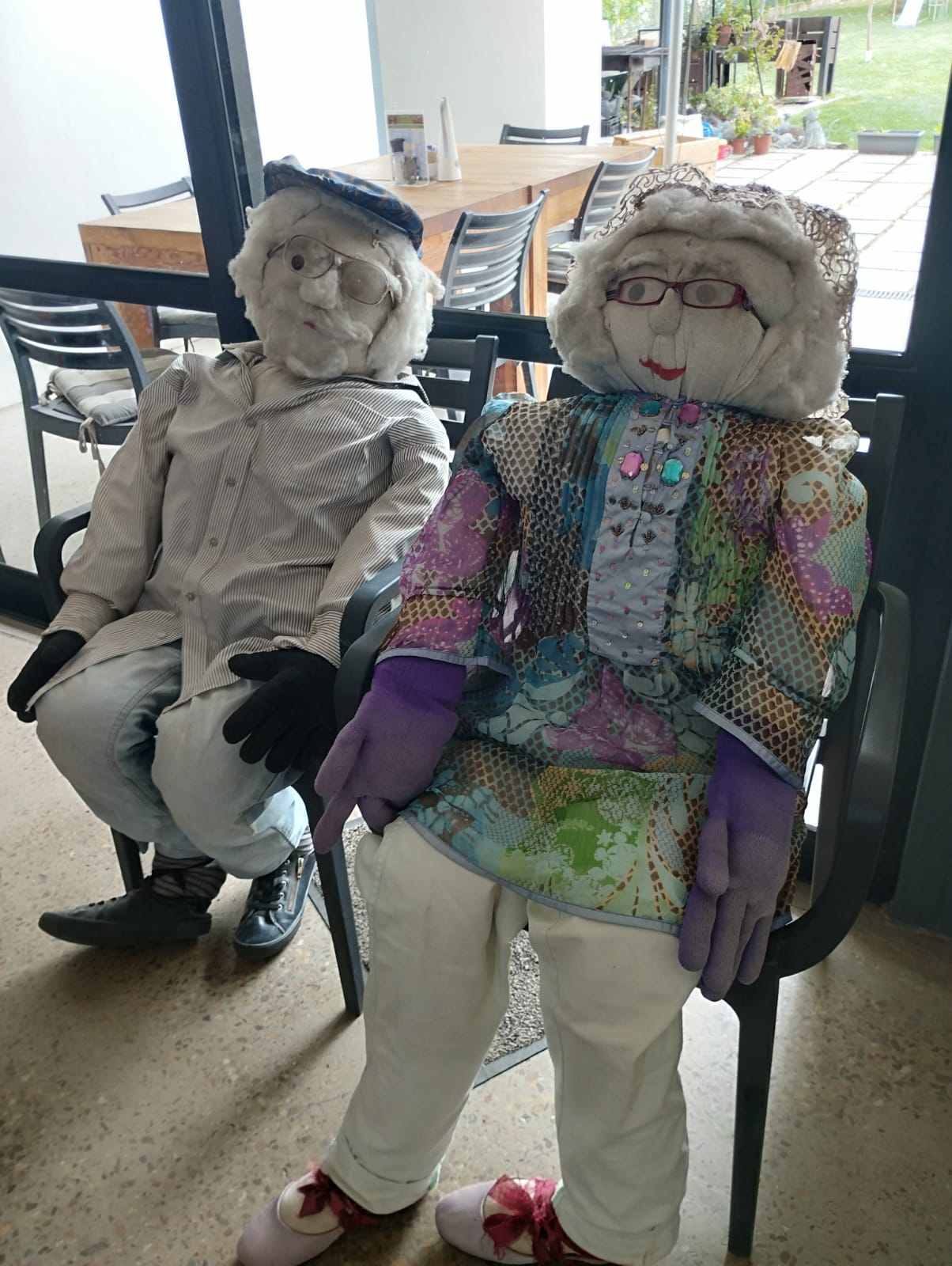
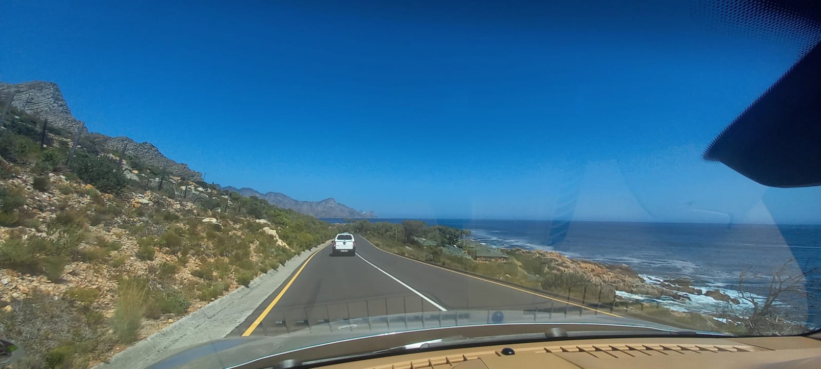
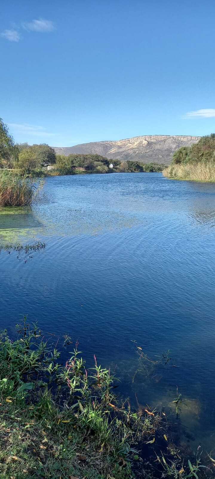
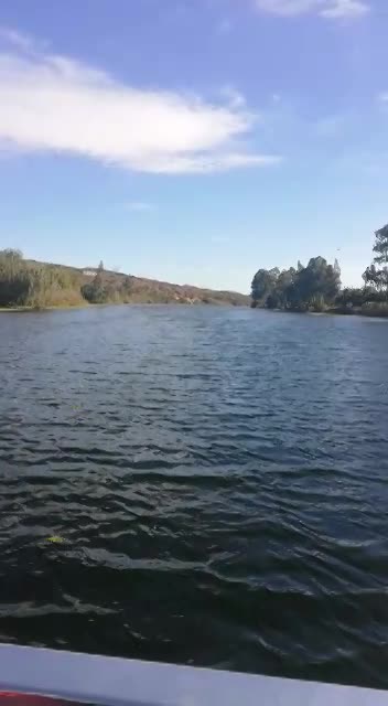
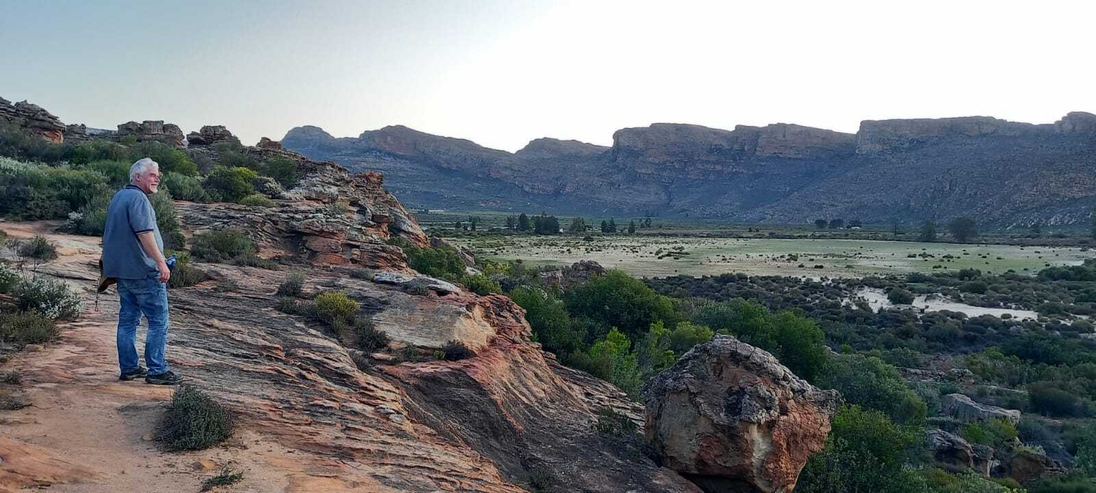
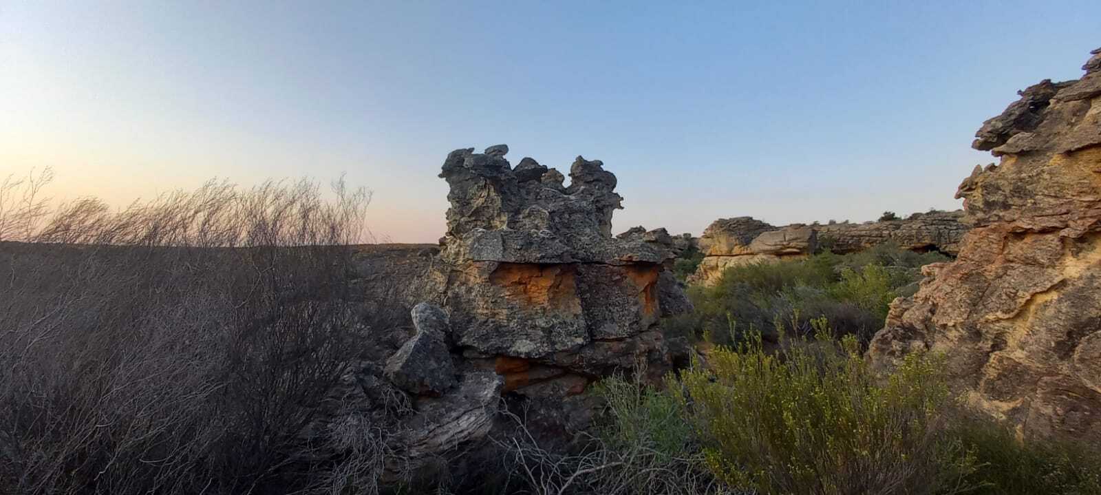
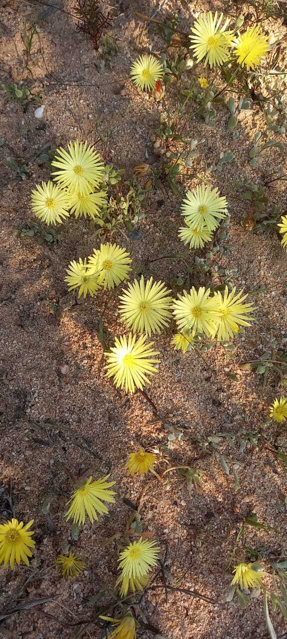
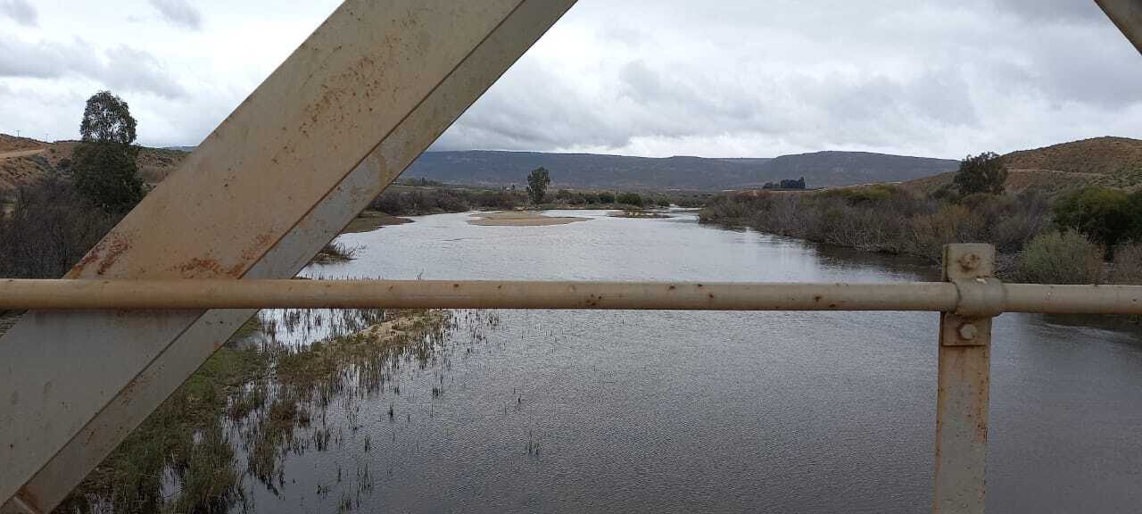
The R364 gave way to the R363 with a NNW heading as the sun shone though and burned off the mist. Many gravel portions, river crossings and photo stops and a tea stop later, Ralph idled through the little town of Klawer via Elizabethfontein before heading NE for Vanrhynsdorp. Heading towards Vanrhyns Pass Ralph did an emergency stop to make the narrow entrance leading into the quaint theatrical front garden and tea house of the Bagdad Café. Littered with mannequin model stage props wearing an assortment of clothing from nipple revealing negligees to farmer apparel, Andrea and Jeremy took in the ‘stood still in time’ café, roadhouse, outdoor theatre and a welcome bathroom break in very pleasant surroundings. Back on the road again, Ralph picked up pace to an indicated GPS speed of 115 kph and eagerly nosed towards the spectacular Vanrhyns Pass, the 1 in 15 gradient saw Ralph happiest in 3rd gear as he muscled his way up the pass to reveal miles and miles of flat terrain back to the West. The hillside beyond each bend was scattered with damaged vehicle remains and scars of crushed road barriers whose futility at stopping long falls by previous not-so-fortunate souls bore testimony to the steepness of the Pass. Summiting the pass at 825 meters ASL, the vast viewing spectacle continued to the East as Ralph finished a short sprint to Nieuwoudtville.

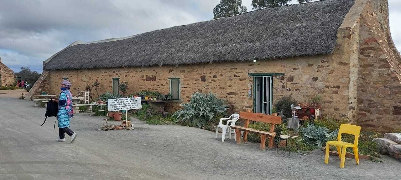
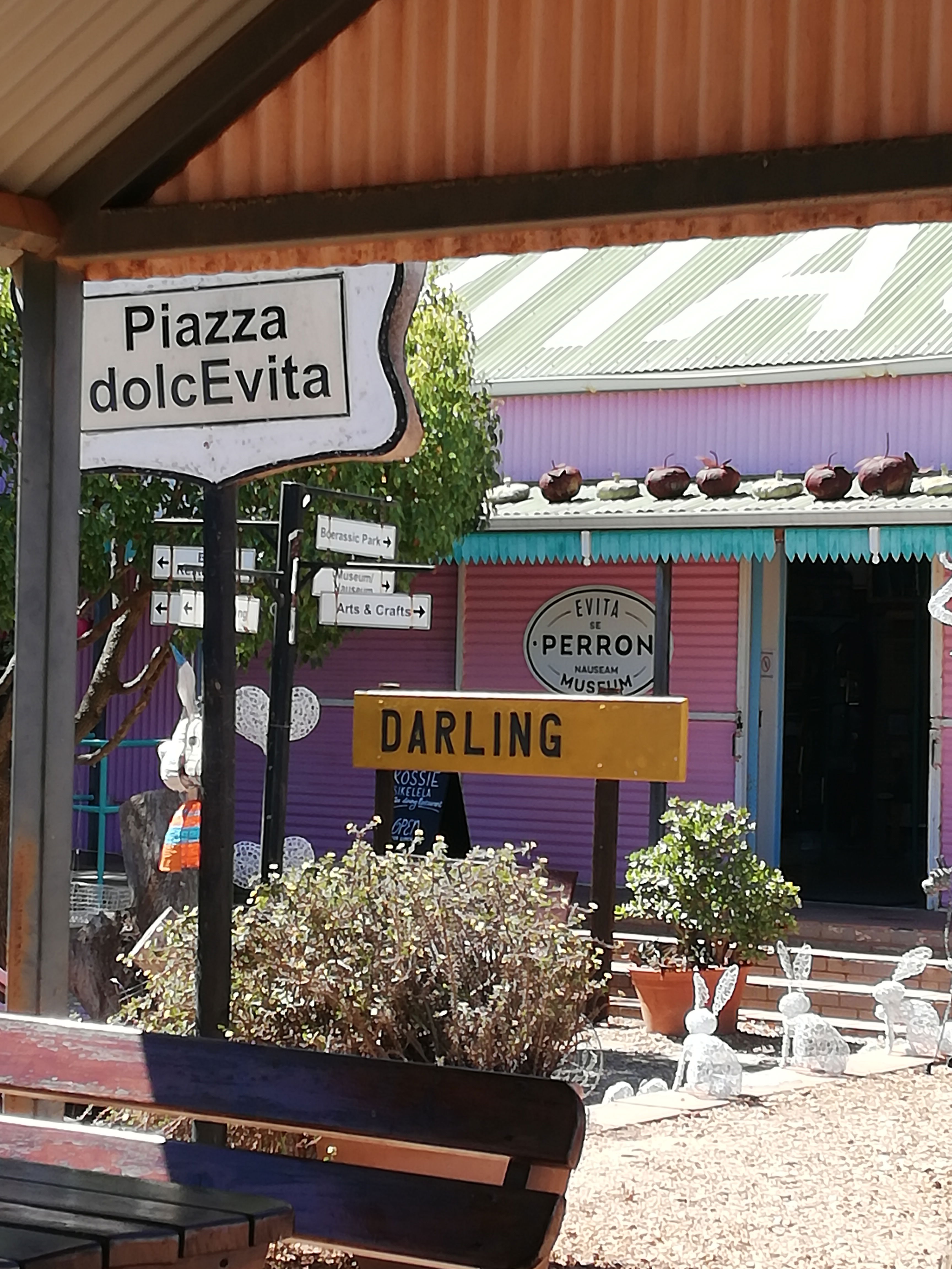
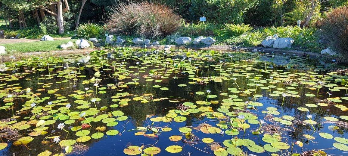
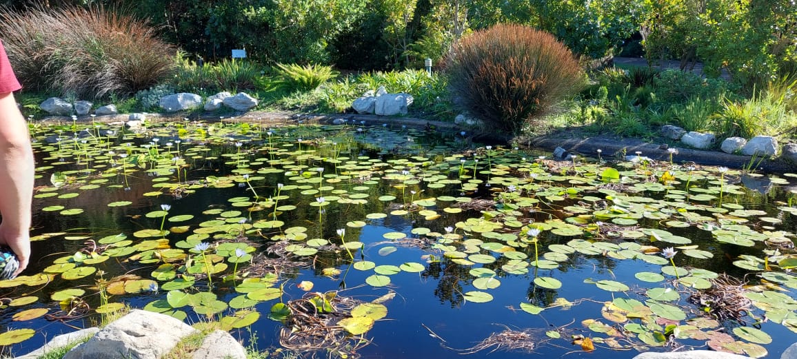
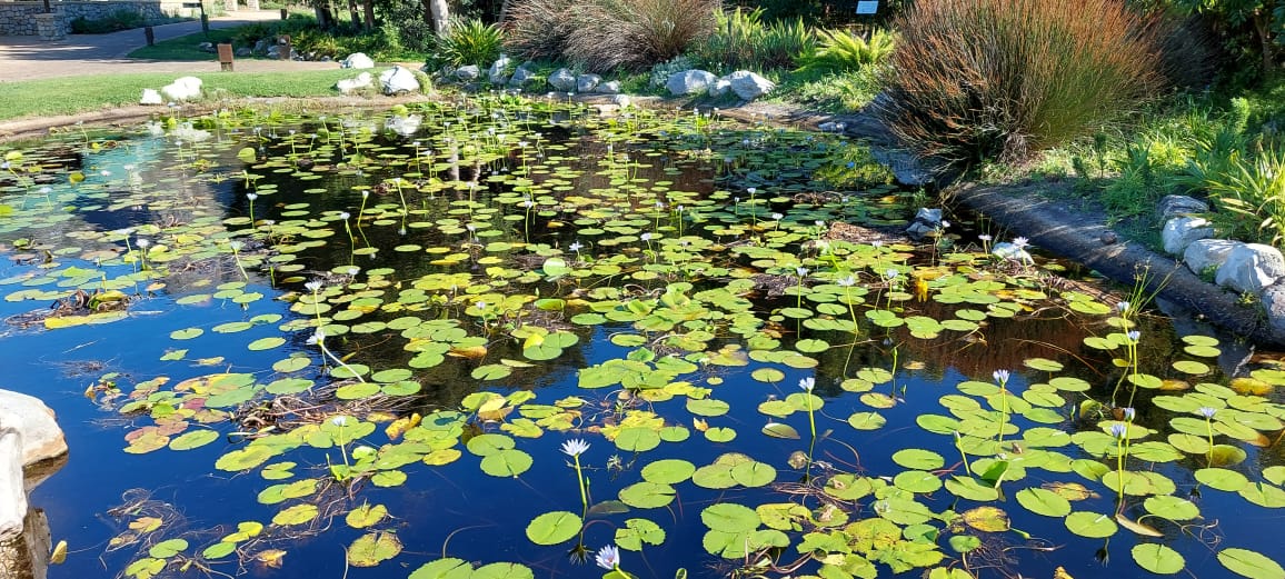
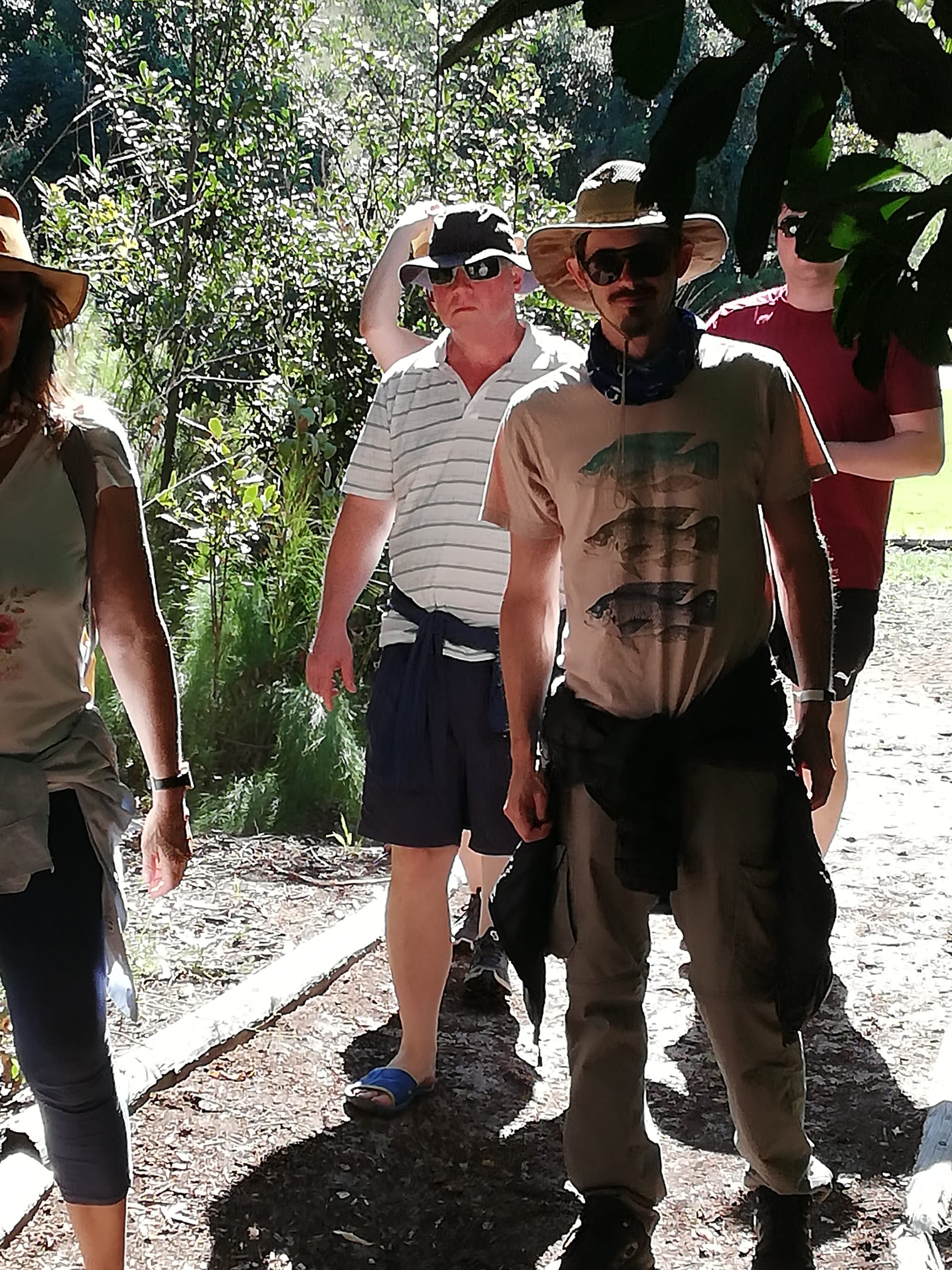
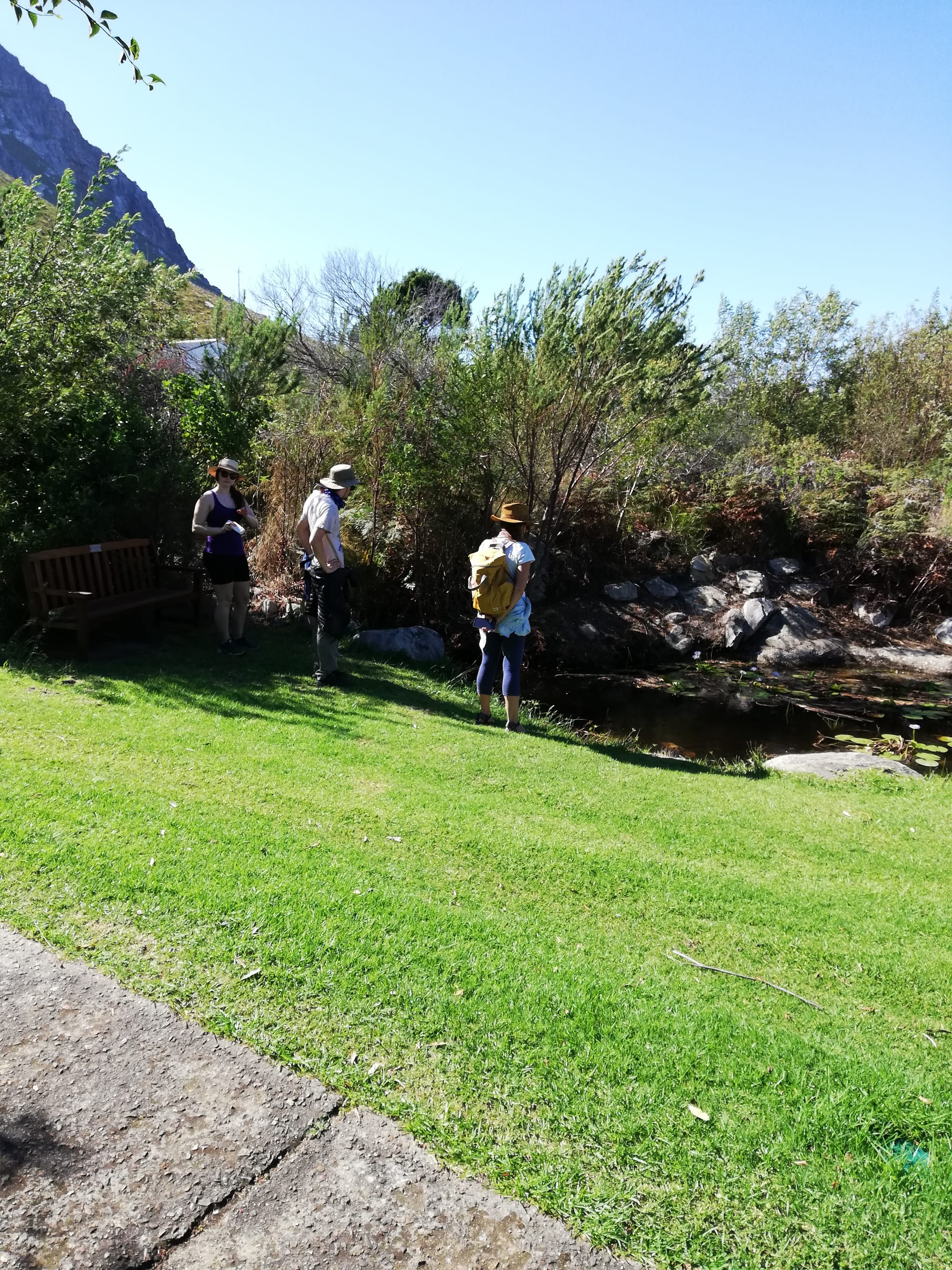
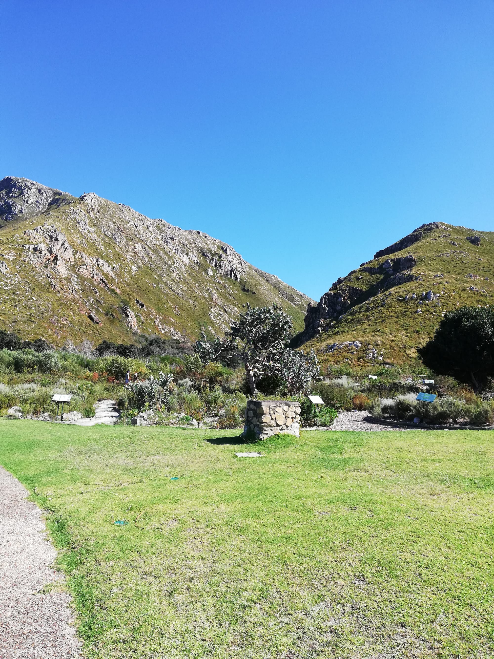
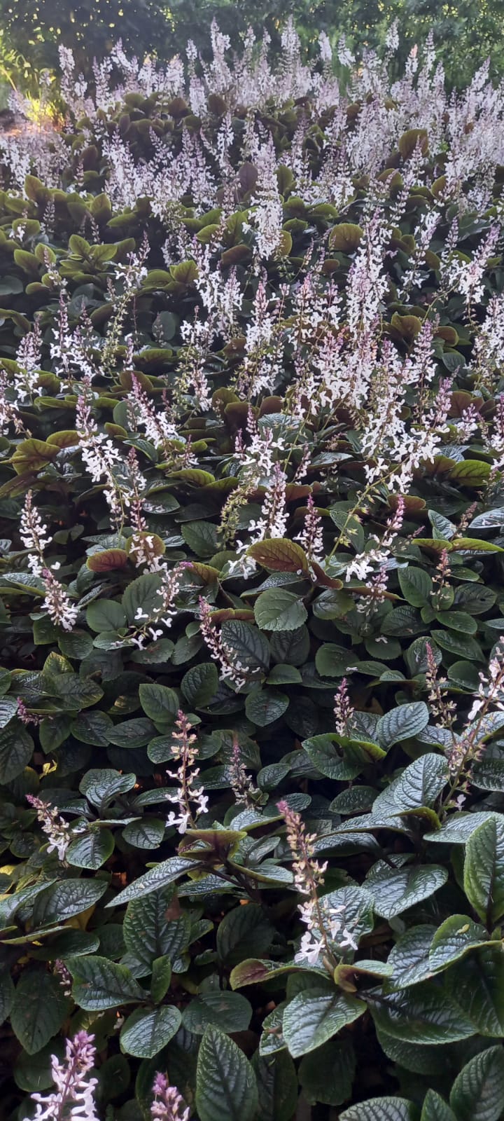
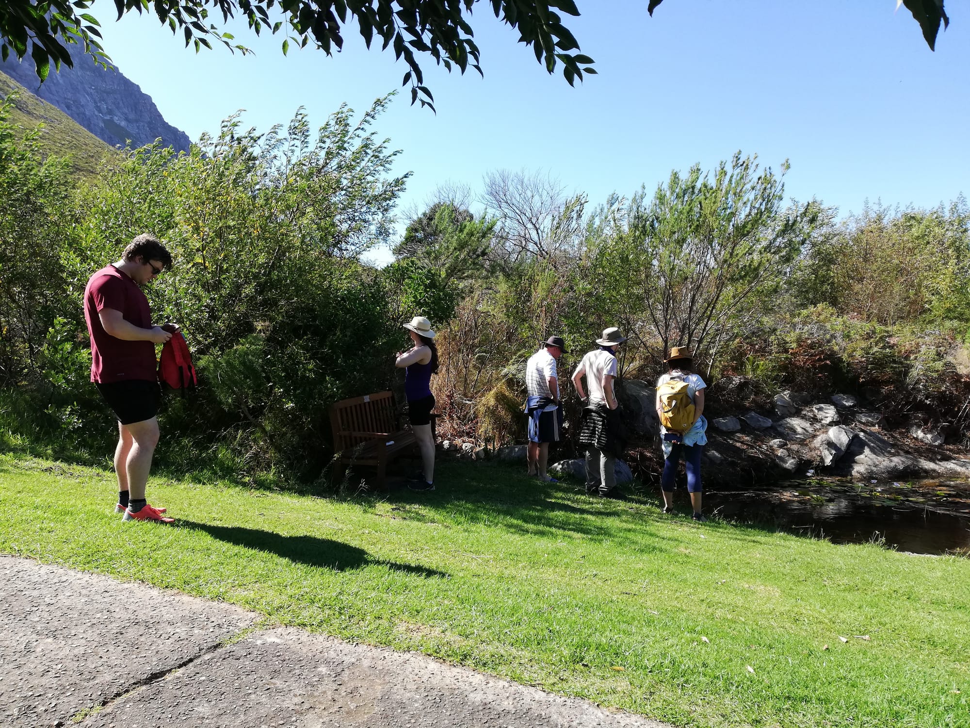
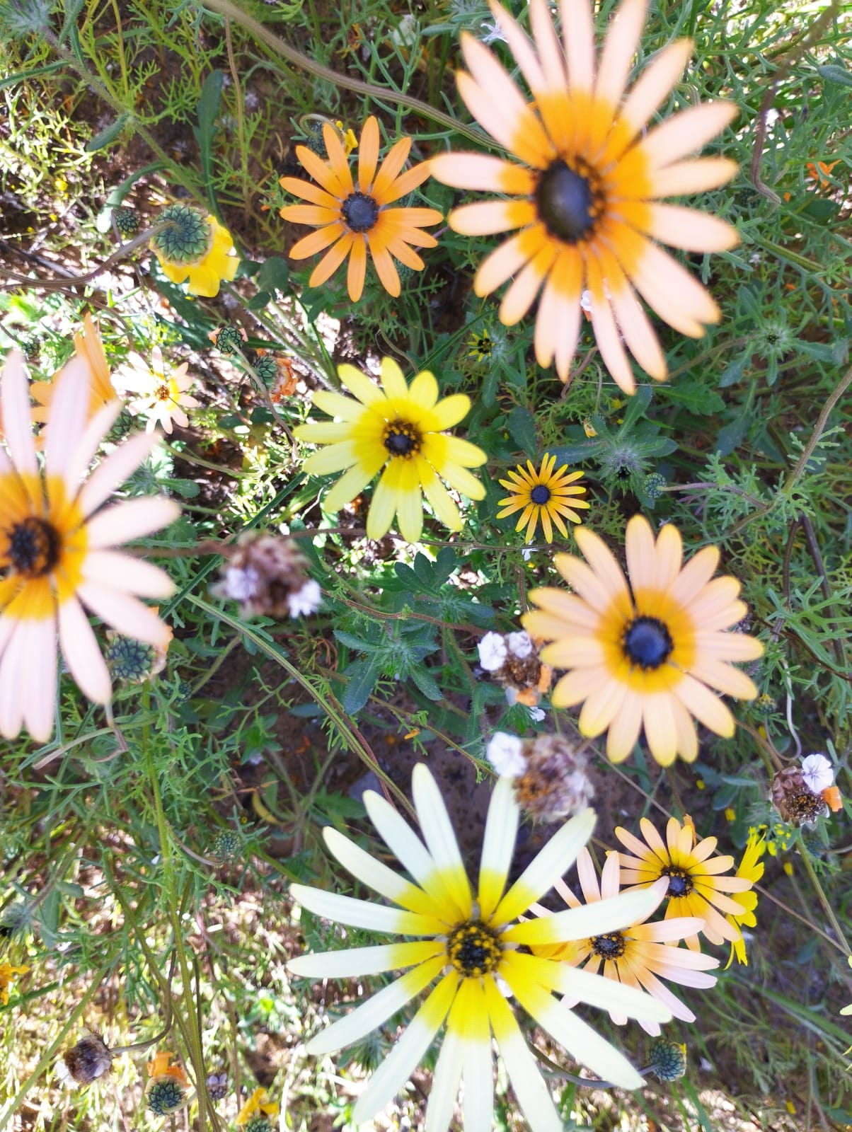
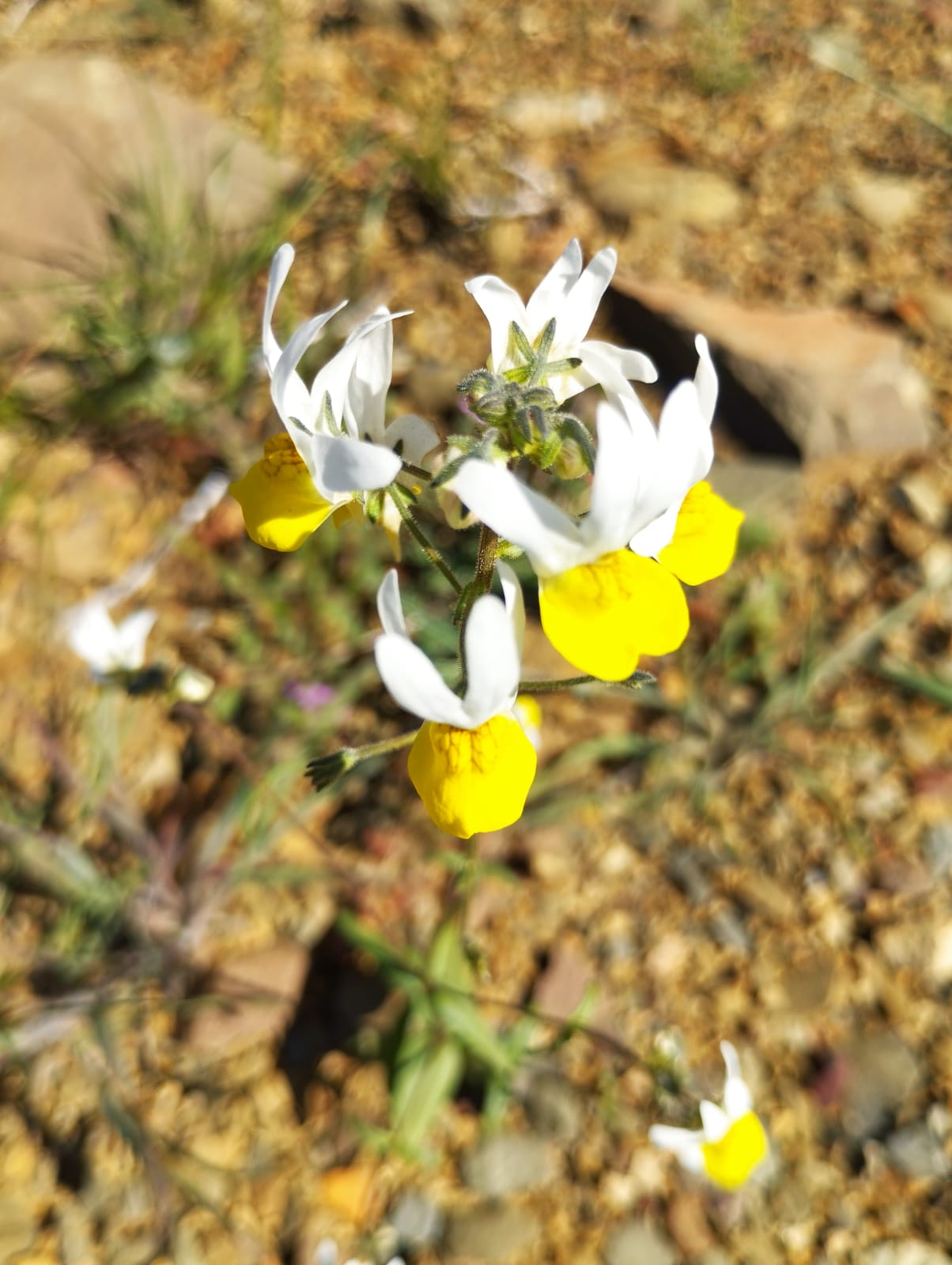
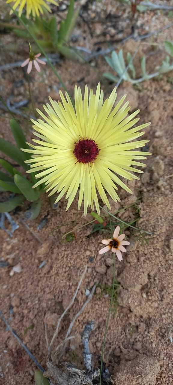
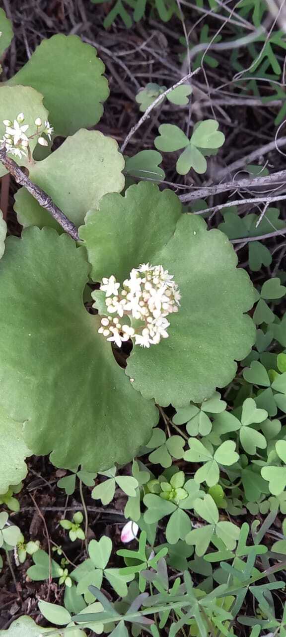
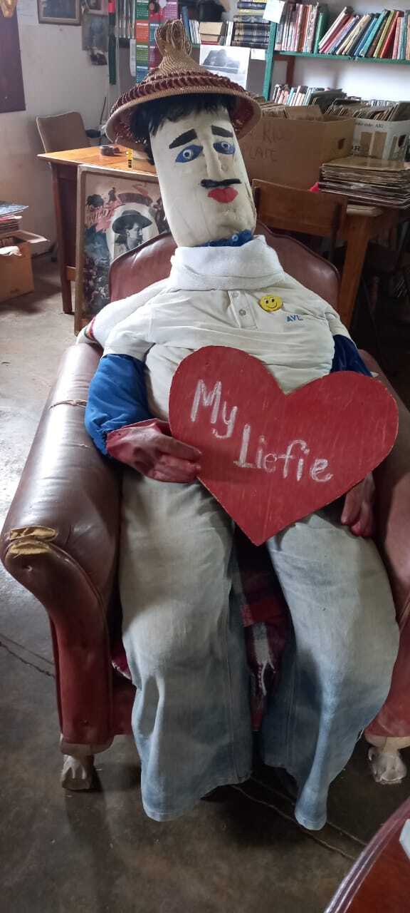
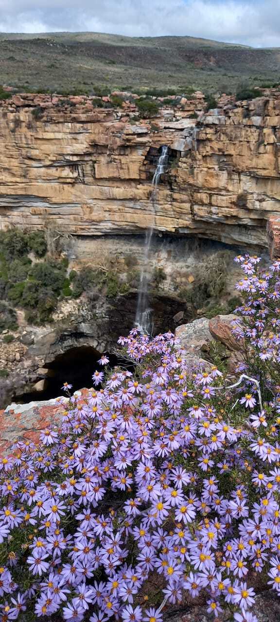
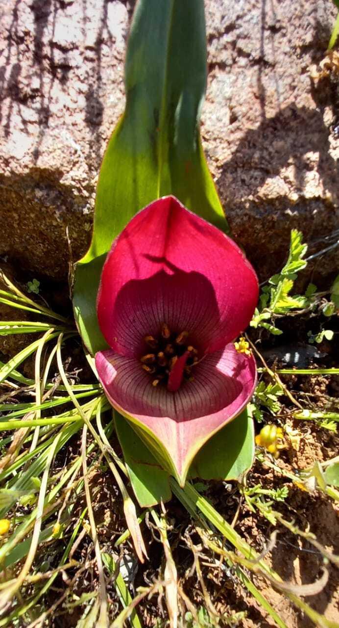
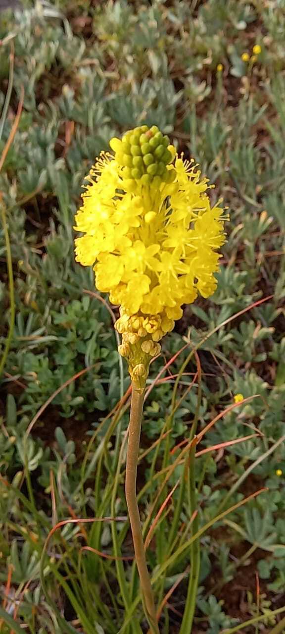
Just before the dorp Ralph turned left and headed North again for 6 km to take in the majestic Nieuwoudtville Waterfall. A small tidy car park with 8 other vehicles and two locals selling vetkoek led to a short footpath heading towards the Falls. Many photographs and poses later, Andrea and Jeremy took tea in the car park before Ralph headed due south again to Nieuwoudtville dorp and the surrounding Hantam Botanical Gardens and then the Oorlogskloof Reserve. The many empty plots adjacent worn and well-used homes offered a splendour of flowers in neat squares. The decision was made to stop at the Matjiesfontein Padstal and to take the gravel R364 back to De Pakhuys with an estimated travel time of just under 2 hours if the road was forgiving. Leaving the Reserve the in-car camera was hardly settled before the screen focused on the tiny Matjiesfontein Padstal to the right where once again mannequins adorned the front garden… On entering the gloomy, furniture and décor-busy establishment, Andrea and Jeremy were met with 3 generations of a family who looked as if they had been there since the dawn of time. Pleasantries were exchanged in Afrikaans and offers of yet more sticky sugar-coated vetkoek and directions to the (much-needed), ‘uithuis’, followed. A farmhouse so old world, original and outdated as to require a 60-meter walk across a small stream to visit the crapper… gosh it must be a cold and dark trip in the middle of the night Jeremy considered.

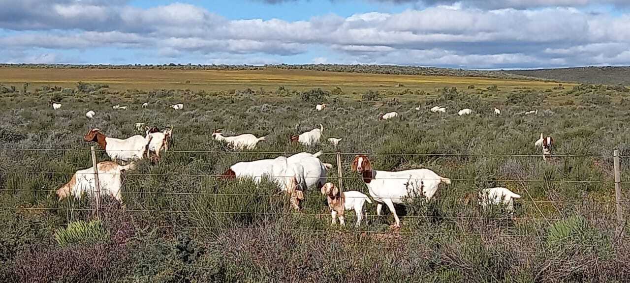
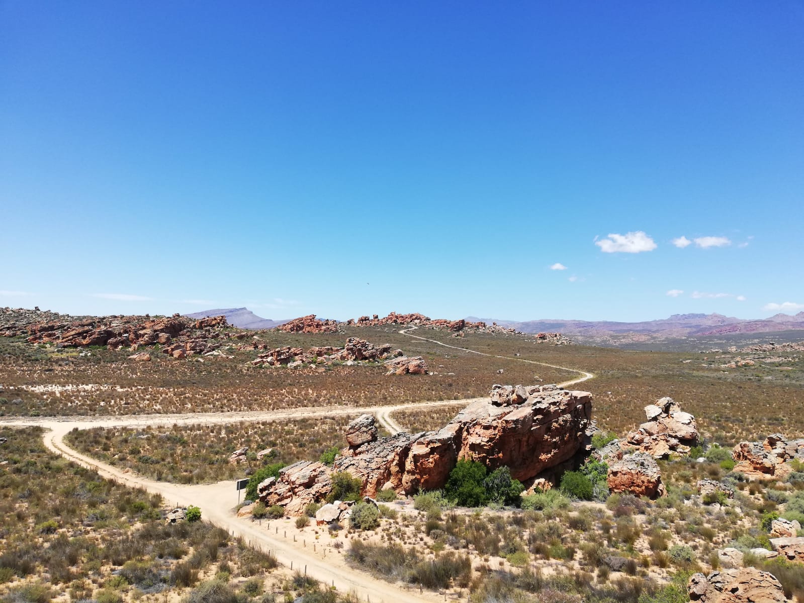
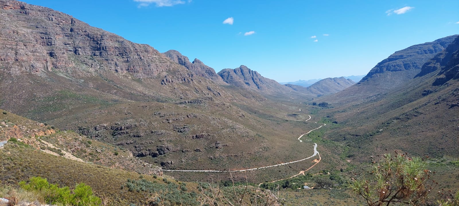
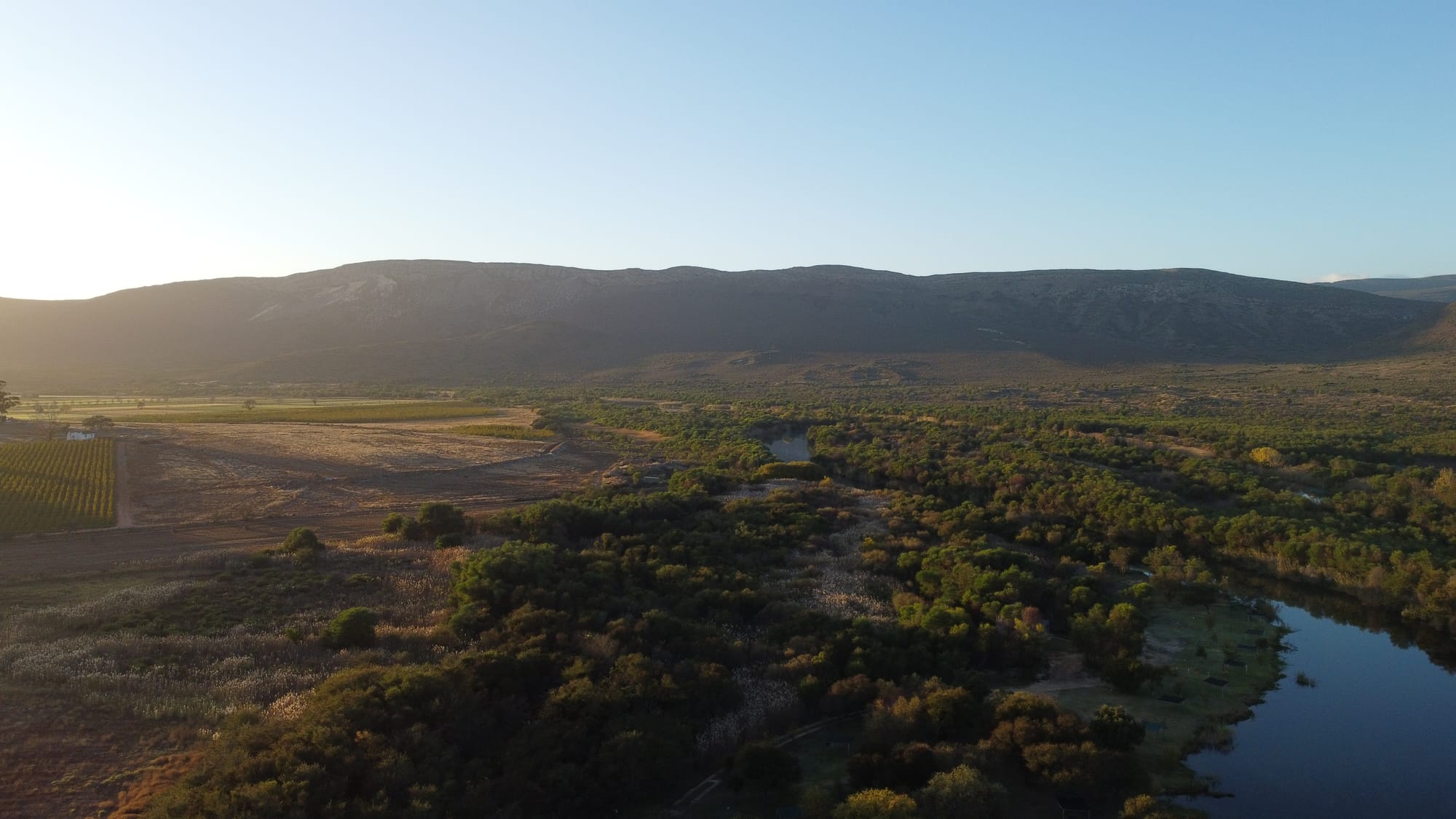
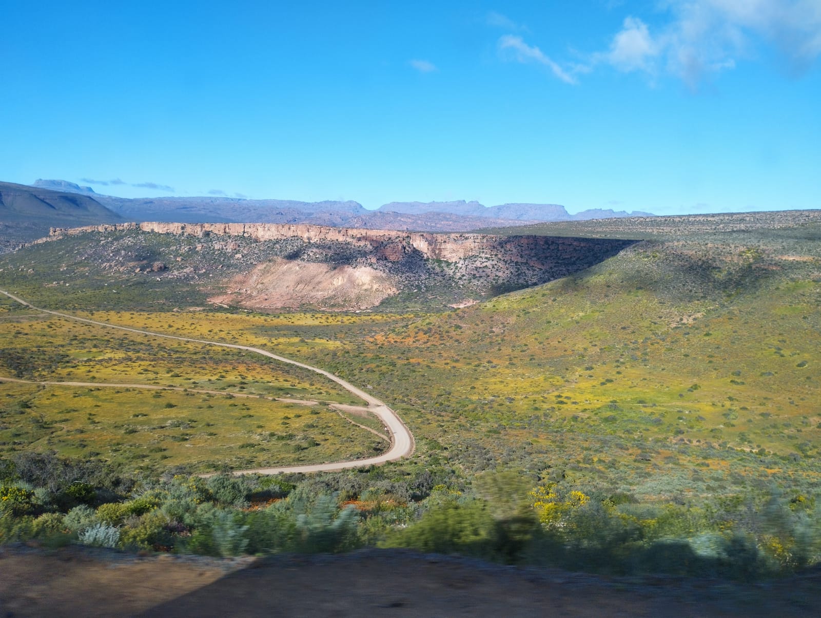
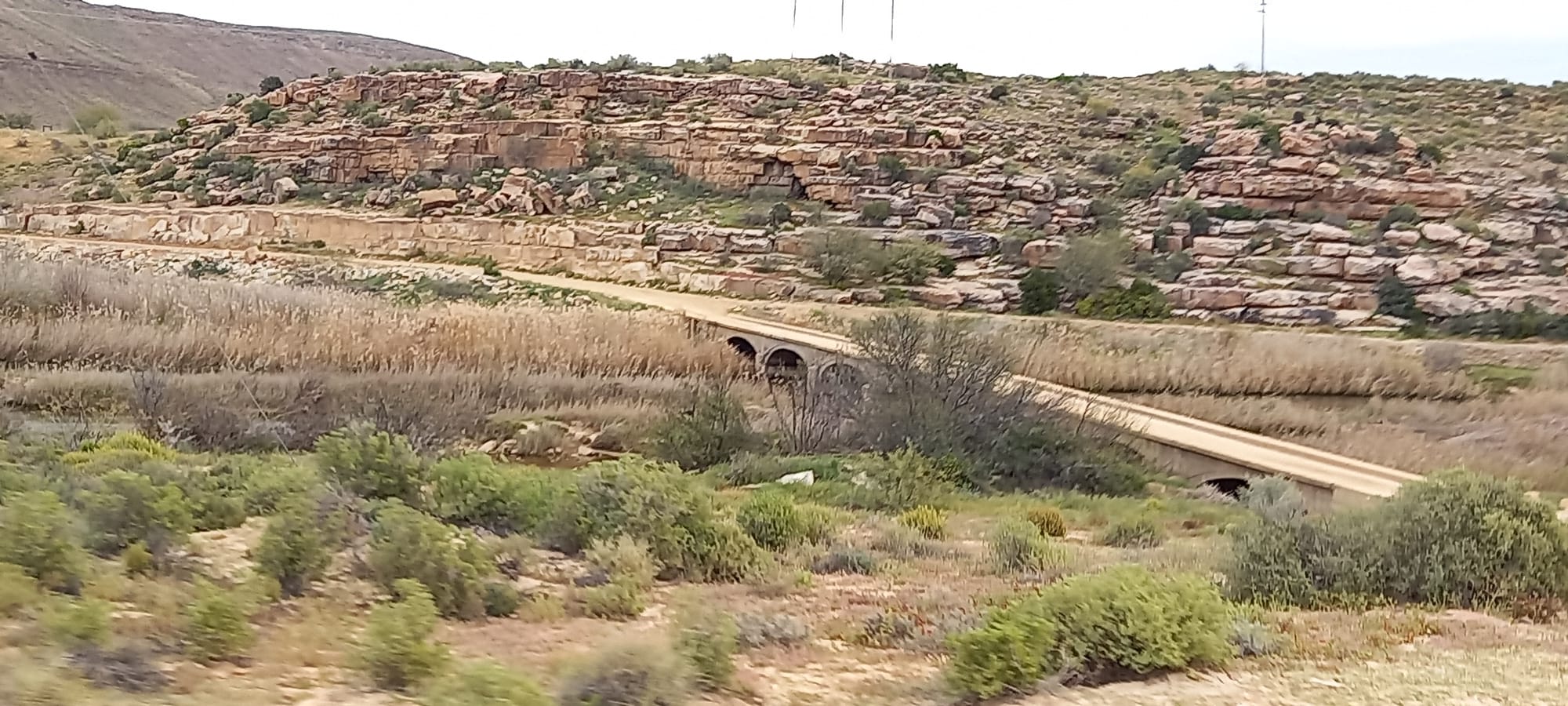
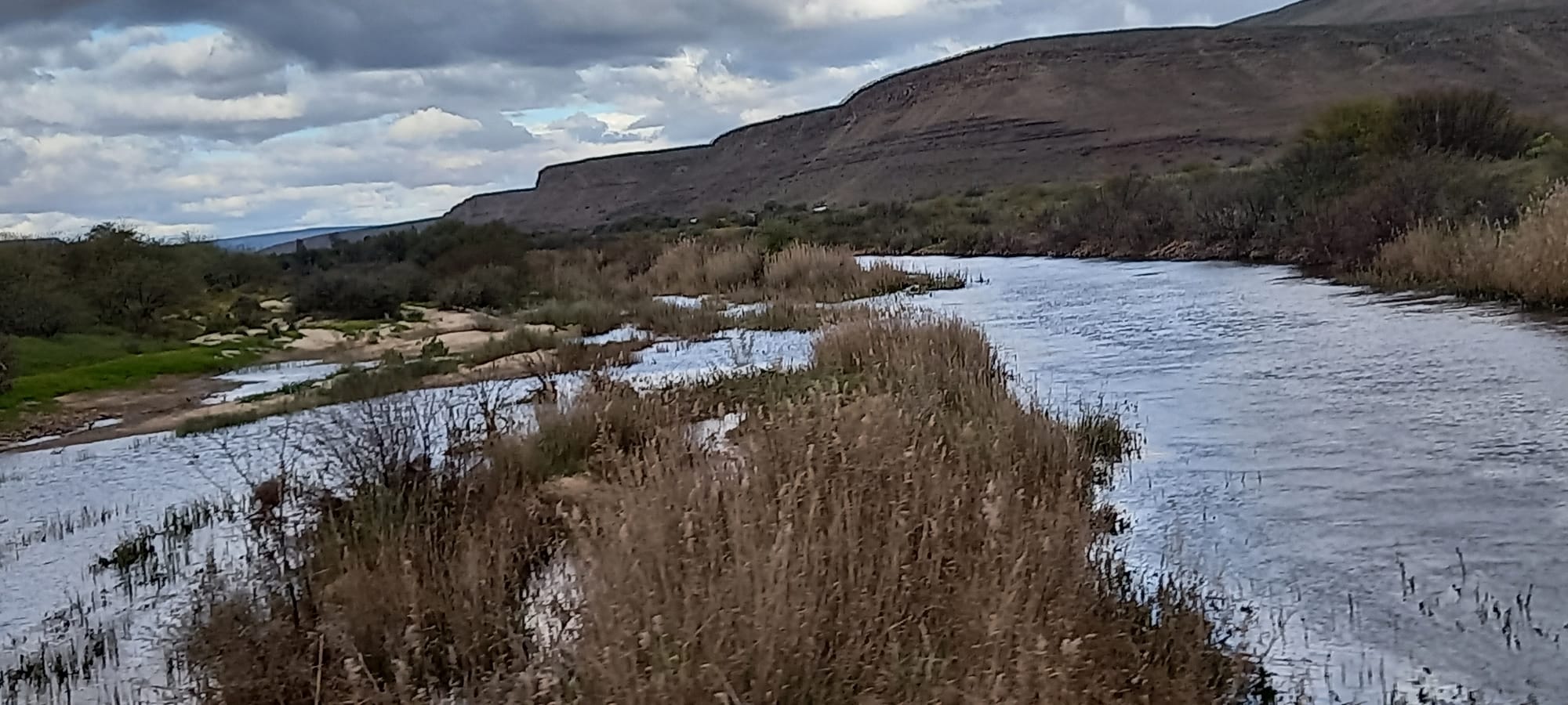
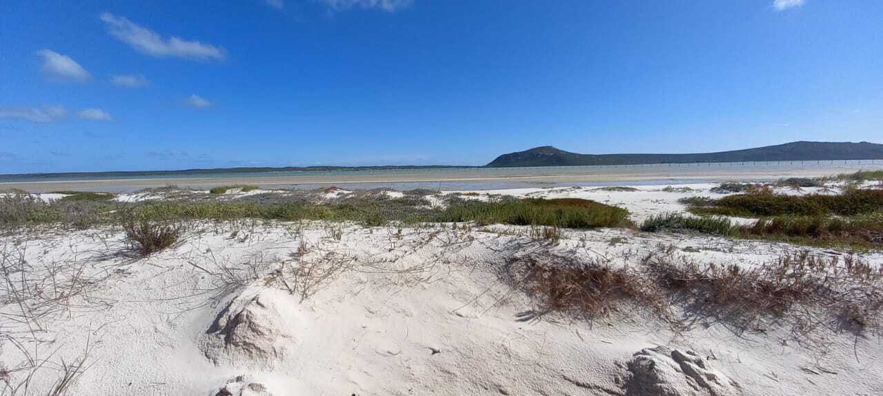
Leaving the Padstal, Ralph eagerly averaged 80 on the well-kept gravel road on a heading of South East. The road was generally good, bar short patches of teeth rattling corrugations and hidden shallow dips threatening to squash him down to his bump stops on the rebound. But he pressed on, aware of only 5 other cars for the next 90 minutes of travel. The farms in this area were vast and distant and were our travellers not trusting in Mr. Garmin using Tracks for Africa in the absence of cell phone reception, the time spent alone and without other human contact was both inspiring and a little trepidatious should one have an incident. This area is truly remote as it straddles the WC and NC border crossing back and forth as the road wound its laborious path towards De Pakhys. Dropping gently into a greener valley, the stock turned from goats (likely the only beasts tough enough to thrive out there), to very fat and woolly sheep. But human and dwelling remained notably absent except for a few beaten and long last inhabited stone houses occasionally dotting the landscape. Stock theft ran thorough Jeremy’s mind. With no one around the sheep were ripe for the bagging. Ascending from the valley after 2 hours on the R364 a climb led to a sudden single traffic narrowing and 400-meter unguarded left side drop off descending for a short stretch before climbing again to suddenly pop out at the turn-around spot they had left first thing that morning. 

The choice to avoid it that morning turned out to be a wise one and a mental note was made to never attempt that stretch after rains. Treacherous by any name… The road gave way to tar and a quick succession of turns led back to De Pakhuys as the sun disappeared once again behind the Pakhuys Pass range, this time shrouded in cloud and a brisk cold northerly breeze with now imminent threat of the forecasted rain. The cold and imminent threat of rain made for an easy decision to fire up the gas oven and roast the fillet and vegetables whilst catching up with folk back home and doing map planning and routing for the return trip the next day.

Day 3 – Friday 27TH August – Homeward bound from De Pakhuys via more coastal western regions to join up with the western entrance gate of the West Coast National Park, via Graafwater, Sandberg, Redelingshuys, Aurora, Velddrif and Langebaan.

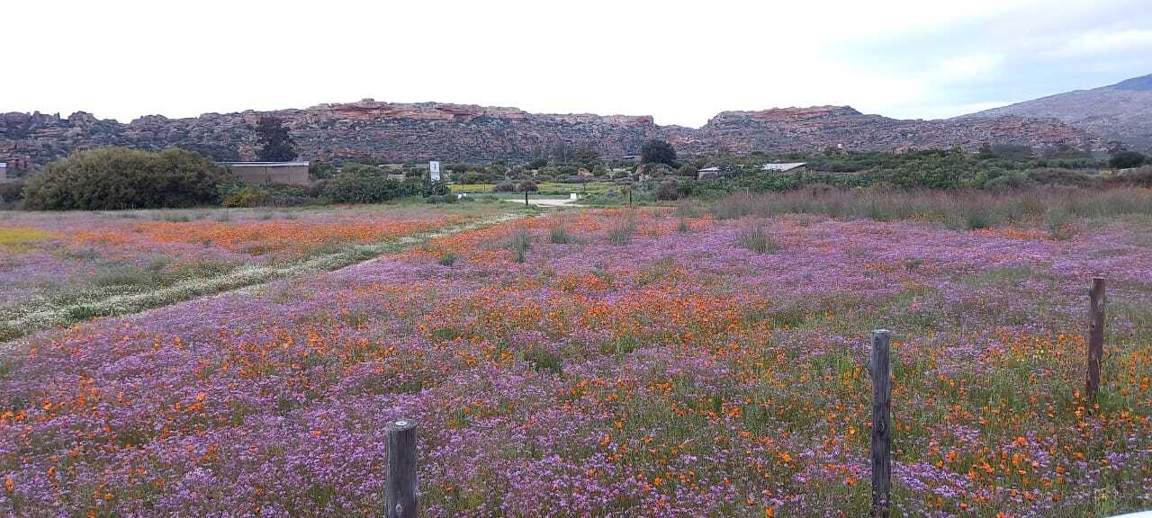
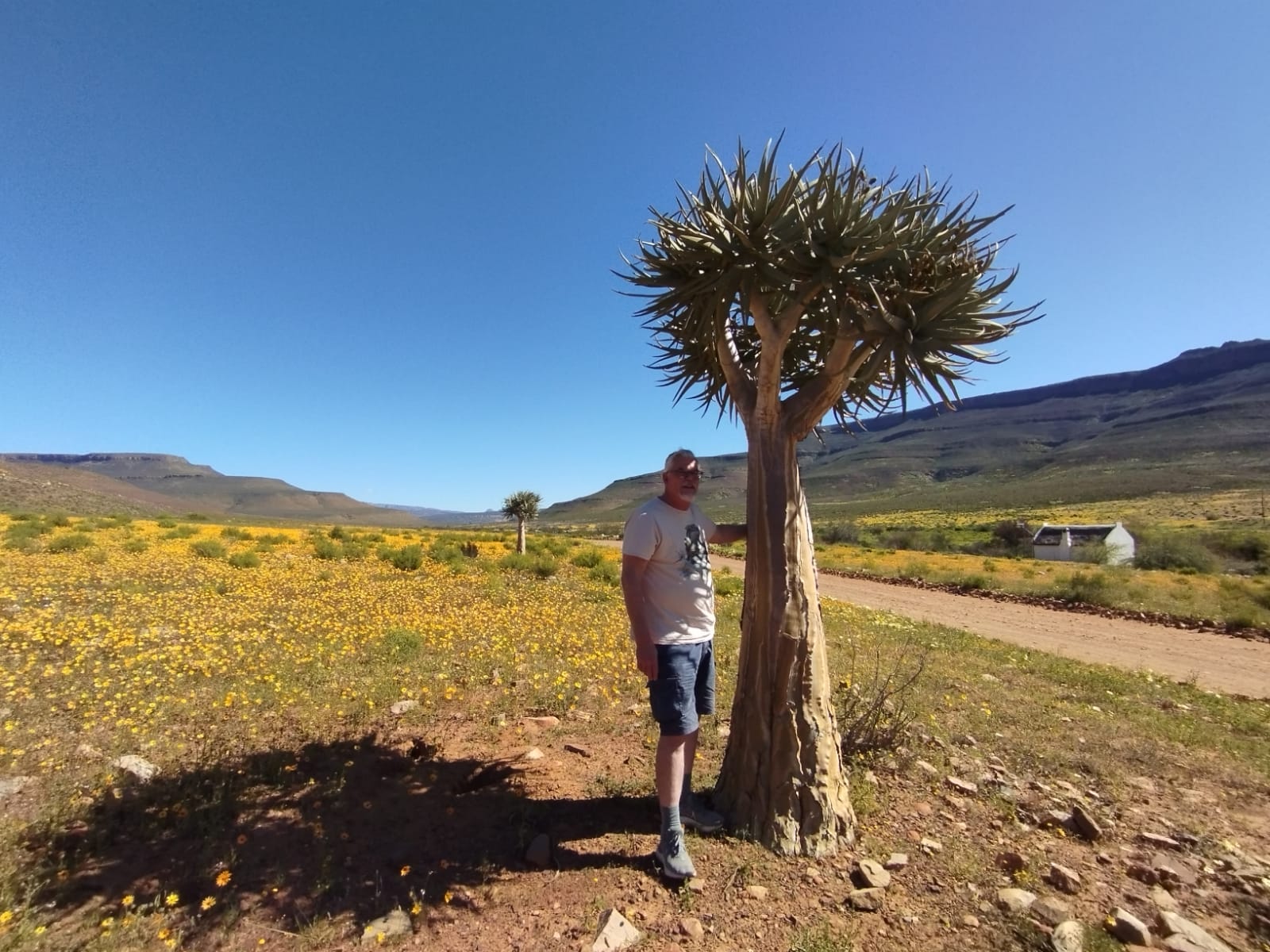
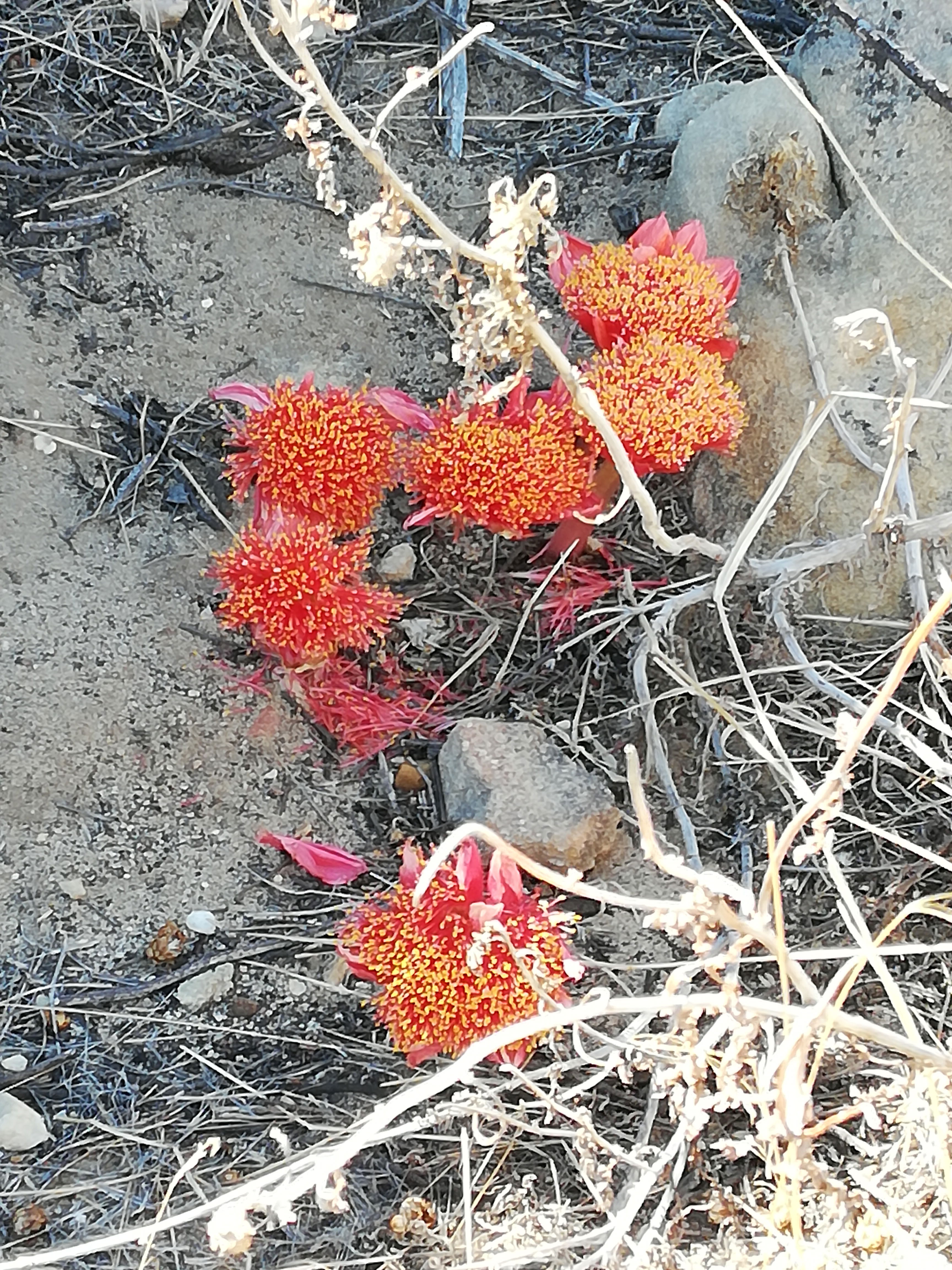
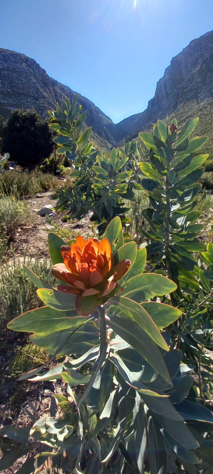
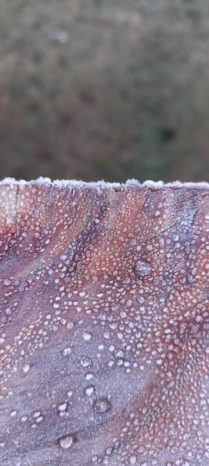
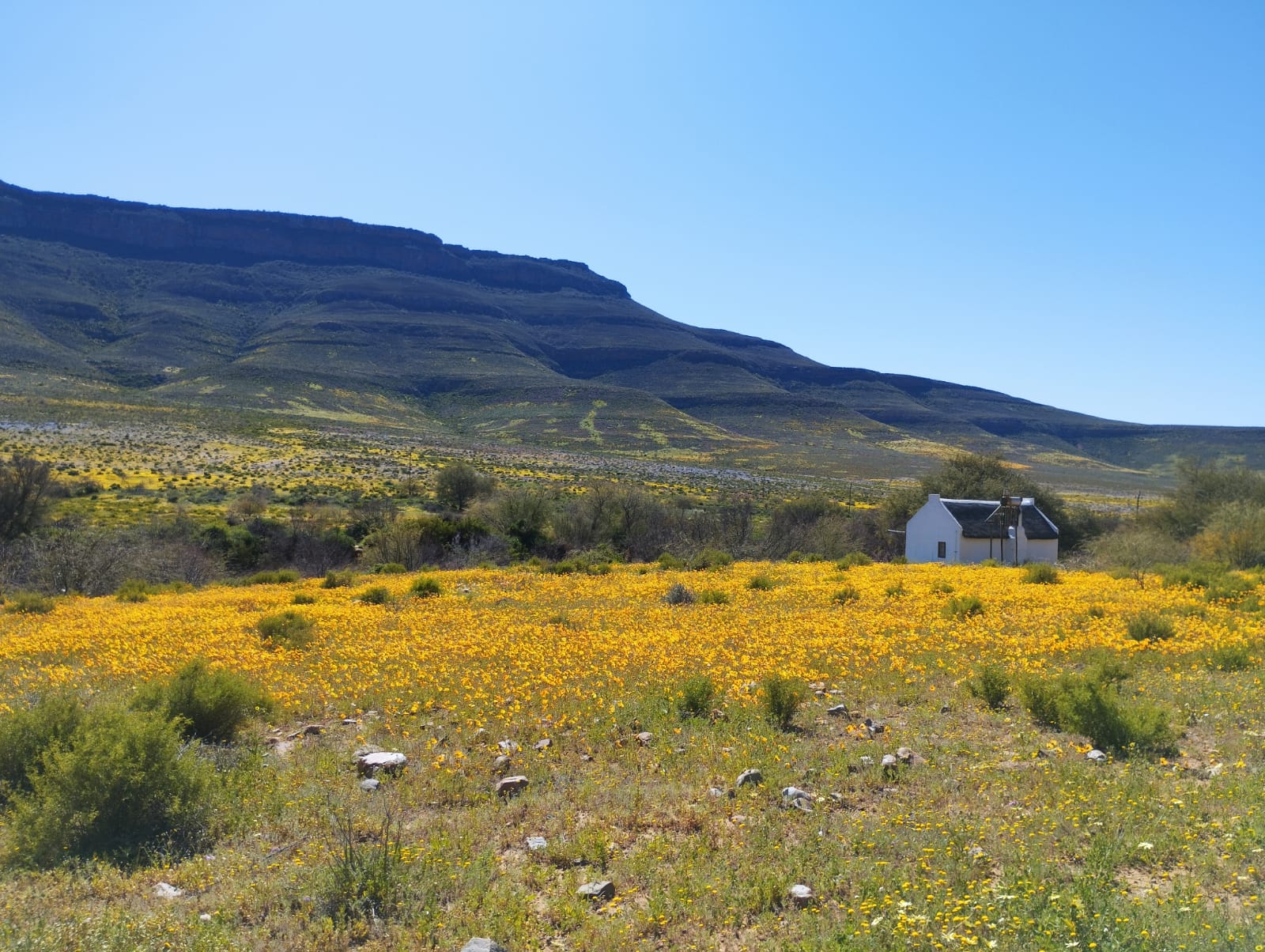
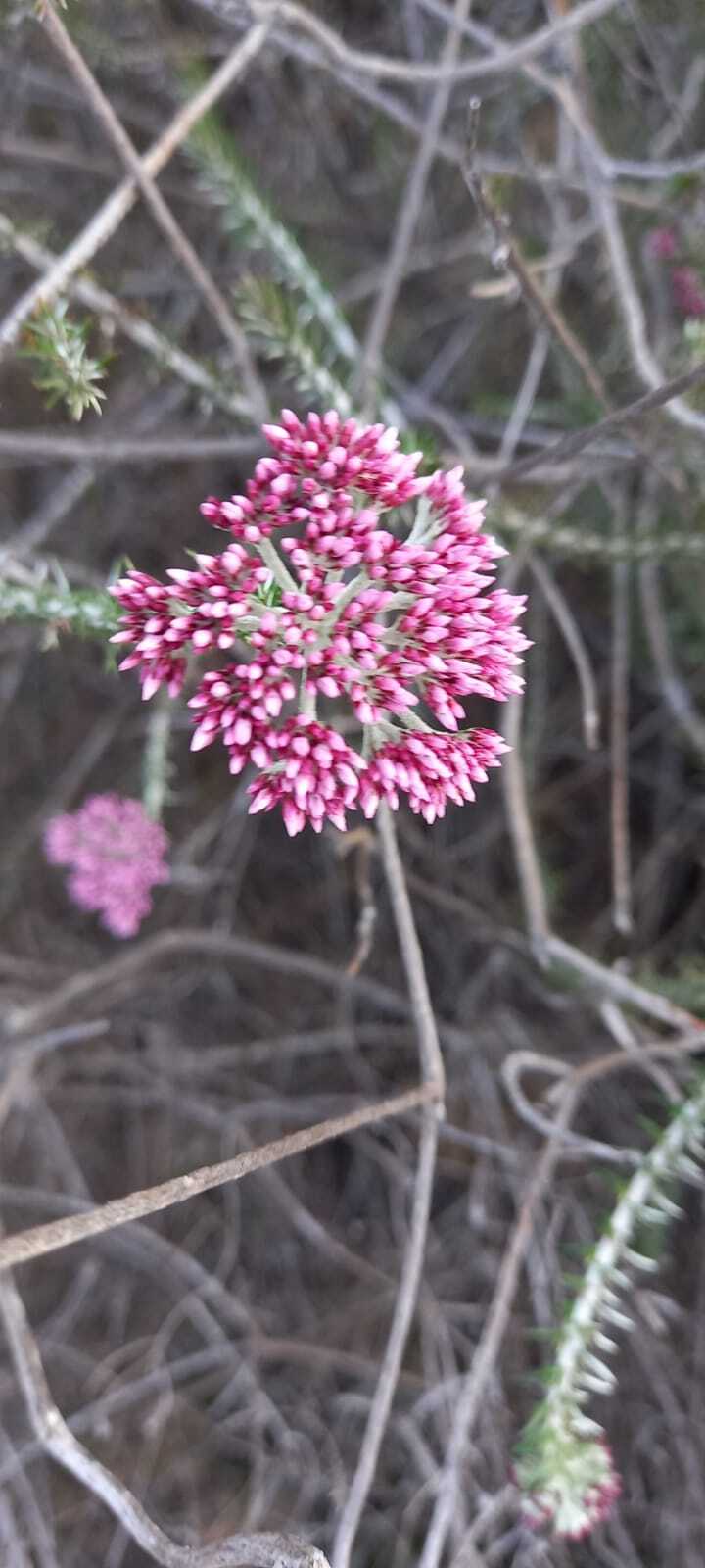
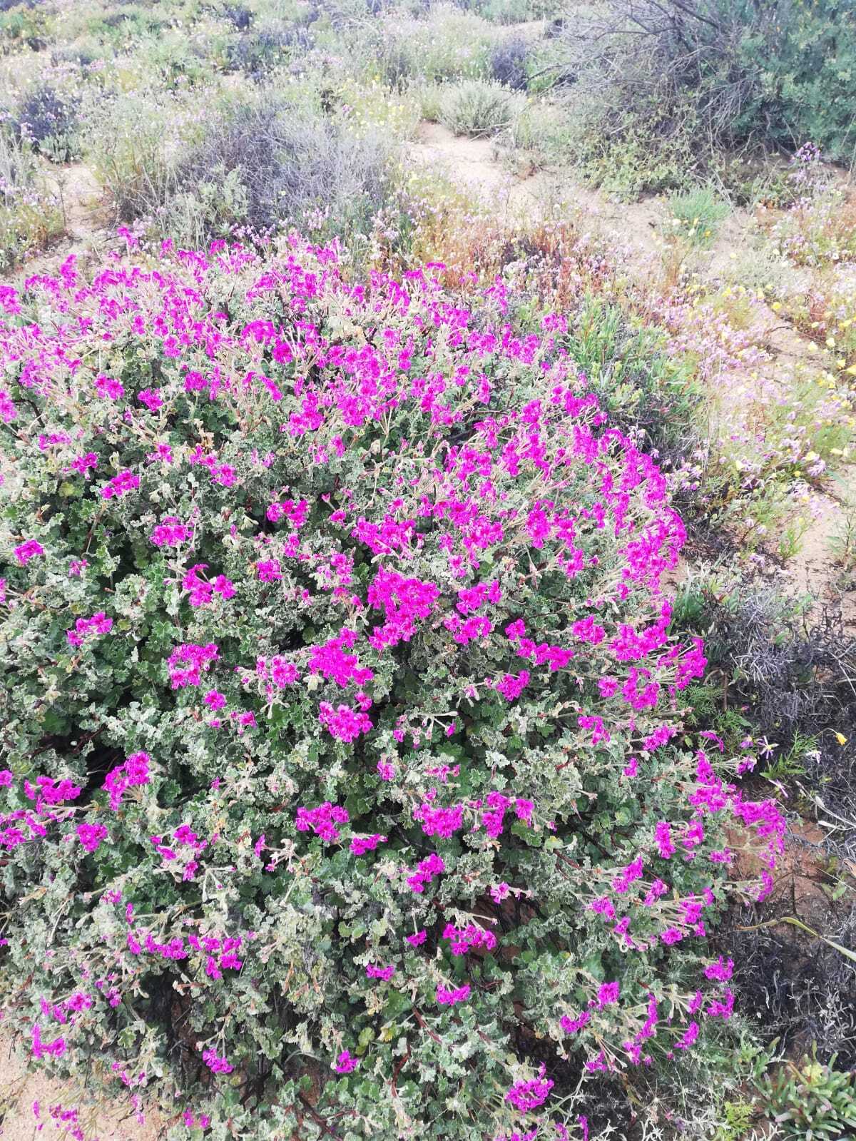
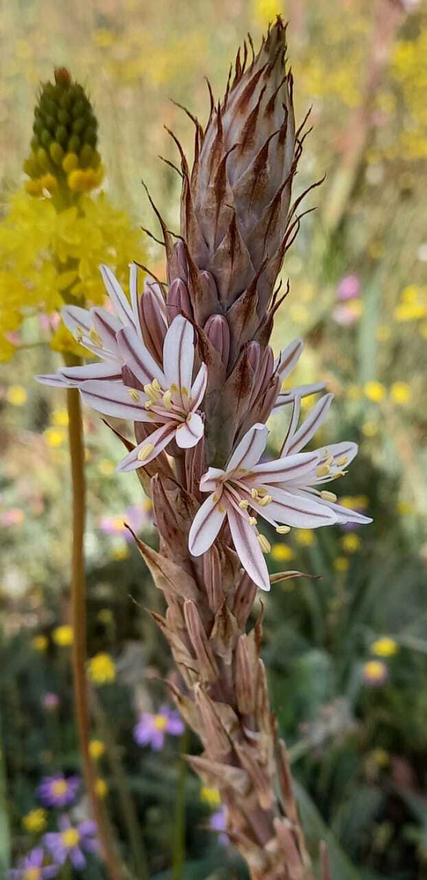
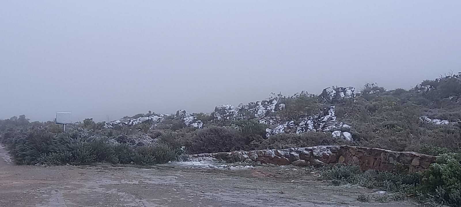
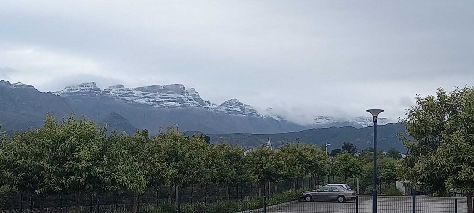
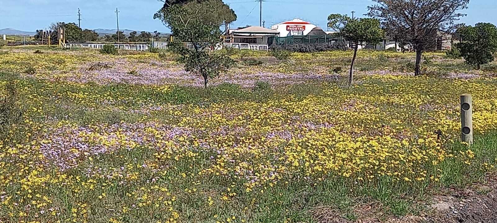
Ralph pulled away after greeting the host at 0900, along with the temperature of 7, the mist was thick and having rained all night the roads leaving the accommodation were flooded. He picked his way through to avoid getting dirty again after the all-night rinsing which had scrubbed off the preceding days dust. Climbing the Pakhuys Pass in 4 degrees the windscreen demister battled to clear the view ahead but the side windows portrayed massive waterfalls tumbling from craggy clefts high in the pass. As they reached the summit Andrea called out ‘sleet’, Jeremy said ‘snow’, ‘snow’ as the north wind blew fluffy flakes and rapidly caked the lookout area with a thin blanket. Ralph indicated 1 degree at the summit lookout whilst photos were taken. Pulling away, the plan was to breakfast at “Thi Art” at the Clanwilliam Cedar Mall, the coffee shop and all-day breakfast are known to them having made this a must do stop whenever passing through Clanwilliam. As always, the Full English and ginormous well-stuffed omelette met all the necessary satisfaction and stood them well for the day’s travel. The breakfast was further enhanced by the northern view back towards Pakhuys, now peak-covered in a good layer of snow. Leaving Clanwilliam and heading SW towards Elands Bay, Ralph galloped along as farmland and scrub turned ever greener heading towards the coast. Flower pockets were few and far between, mainly large swathes of purple punctuated with small patches of taller orange. The run down to Graafwater was on a well-maintained gravel road with the scenery deepening in colour vibrancy in the presence of lots of recent rain.

Just before Elands, they took a turn to the south to cut back East to Redelingshuys. It then became apparent how quickly a fine gravel road can become a real challenge in the presence of recent rains. What followed was a painful, bone jarring, slip-slide, and corrugated rattle of a very slow journey in which only two other vehicles were seen. A farmers bakkie snaking its way from farm to outfield and a Landcruiser travelling like us. After 3 kilometres Jeremy was seriously questioning whether this stretch of road would see them waiting to be pulled out of the ditch at the soft shoulder as Ralph slithered left and right in a losing battle to maintain traction on his highway biased all-terrains which simply clogged with each rotation of the tyre. Stopping to wee (brought on by the incessant rattling and shaking), Ralph’s nose did a particularly nasty left twist and the preceding vehicles track dragged him to the soft shoulder. Jeremy thought they were now stuck, but Ralph pulled away and firmer ground in the middle of the road was used for the stop whilst the pair found respective bushes… Not that anyone else was coming along that road but all the same, propriety prevailed.

Ralph complained bitterly about the abusive road as he clawed his way up each hill whilst battling to maintain forward momentum, his rear wheels spun and his traction control light flashed like a tiny beacon in the dashboard display. He nosed down long slopes with careful use of gears to maintain steering control without losing his tail to the forces of science and gravity. Jeremy worried inwardly that the road would worsen before the end with the realisation that some of the recent descents, would have to be climbed again in reverse order if they were unable to continue. After what seemed like an age of rattle, bounce and slide the road opened onto farm entrances with greater frequency and eventually they spilled out on the main street of Redelingshuys. The first left into Kerk Straat, (natuurlik), revealed yet more mannequins – this time astride bicycles of the Postal Service variety, adorned in colours of blue, red, green and neon orange… A roadside cup of tea, rusks and droe wors, with close map scrutiny to avoid repeating the preceding folly, and the decision was made to take a 3 minute longer journey via R365 and R399 to reach Langebaan rather than risk more greasy mud gravel as had just been experienced.

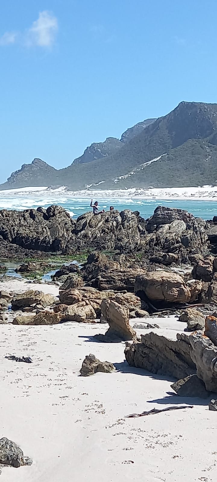
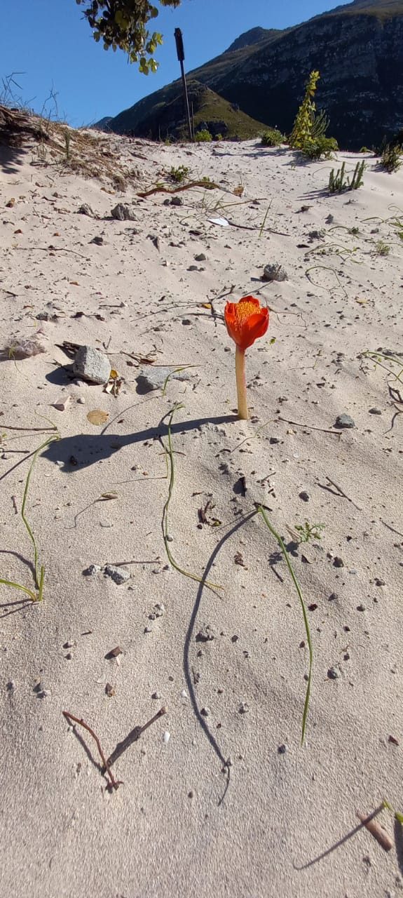
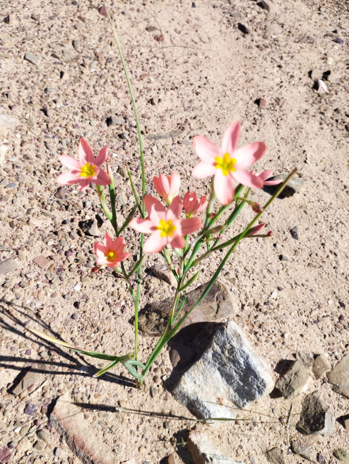
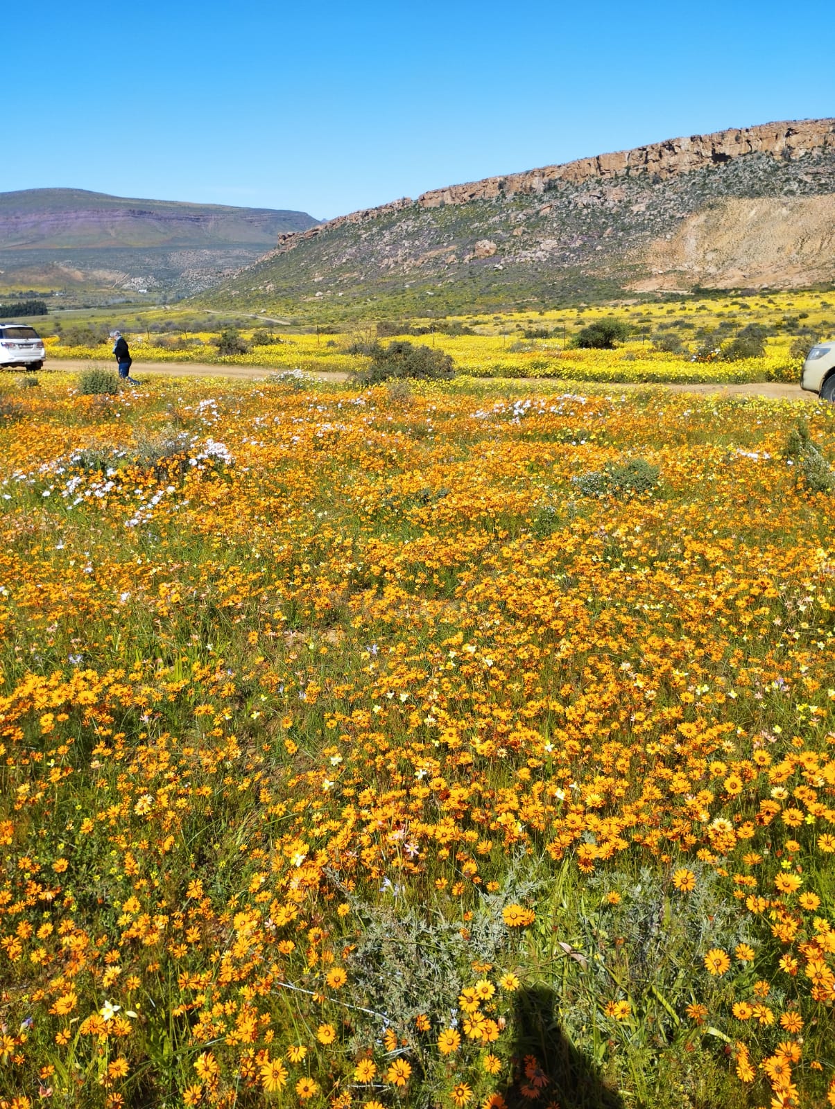
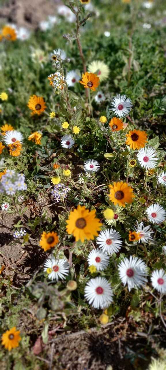
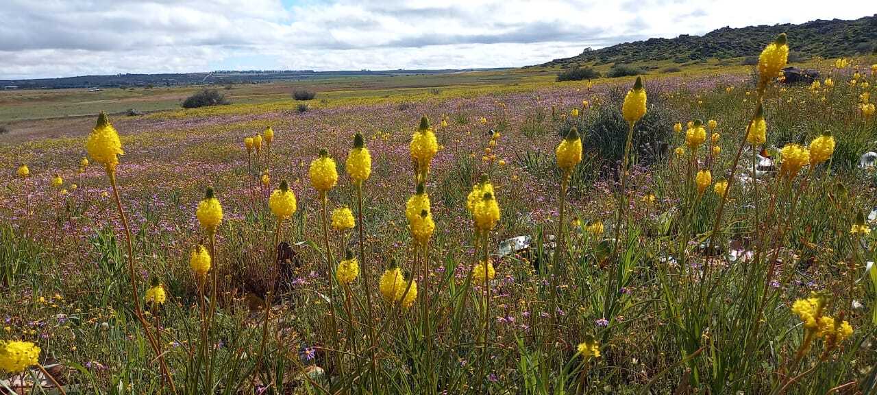
Redelingshuys to Langebaan was colourful and free flowing with little traffic until entering the small metropolis of Langebaan and threading their way through a dozen roundabouts to reach the entrance of the West Coast NP. On entering the park at 1430 much time to view flowers had been lost due to the slow going earlier. The entry fee of R184.00 paid, a quick stop at the Bird Hide and some flower shots were taken before heading through the park to exit at the SW R27 entrance. Regrettably, having to miss the Postberg portion of the park as the flowers were closing as the sky started to cloud up again for the first time since Clanwilliam.

The R27 was particularly busy with a pay day weekend Friday traffic heading out of town. Many likely last-minute snow seekers considering the Swartberg and Cederberg ranges now covered in snow with more expected. Ralph resorted to his Power overtake button 5 times to dispense with slower truck traffic and they pulled up to an excited Blue and Fat Boy Ginger Job at 1645. Ralph was then quickly unloaded and his fridge items transferred. Connecting to WiFi again their phones buzzed and peeped with incoming streams of missed communication from all and sundry. Worm’s birthday messages queued like a traffic jam as friends, colleagues and family wishes flooded her Inbox.

Summary Aspects:

Total Distance: 1125 KM. 1 x tank 80 litre diesel. 7.11 L/100km.

Mass: – 420kg of 675kg max GVM allowed.

Accommodation: AirBnB. 3 Days, two nights.

Itinerary: Andrea’s Birthday, flower trip, hiking, star gazing, site-seeing, experiencing historical culture and places, remoteness, self-sufficiency, practice for longer and more remote trips.

Weather: Hottest at 25 degrees full sun, coldest 1 degree with snow. Rainfall 12 hours in De Pakhuys area overnight. Wind, occasional gusty with wind chill on second evening. Signal Comms and GPS: No Vodacom signal at De Pakhuys. Intermittent to no coverage on most of the outback roads away from main centres. Tracks for Africa accurate but non-descriptive. Many towns and smaller sites not known by Garmin Mapset. Maps and Trip planned with Google MyMaps tutorials. Huawei failed to connect to any Directions. Internal software Google issue should be resolved with re-load. Paper maps accurate if difficult to read.

Forgotten items:  1 x Coffee filter holder and 1 x face mask. Accommodation missing scissors.
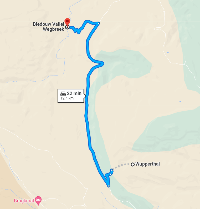
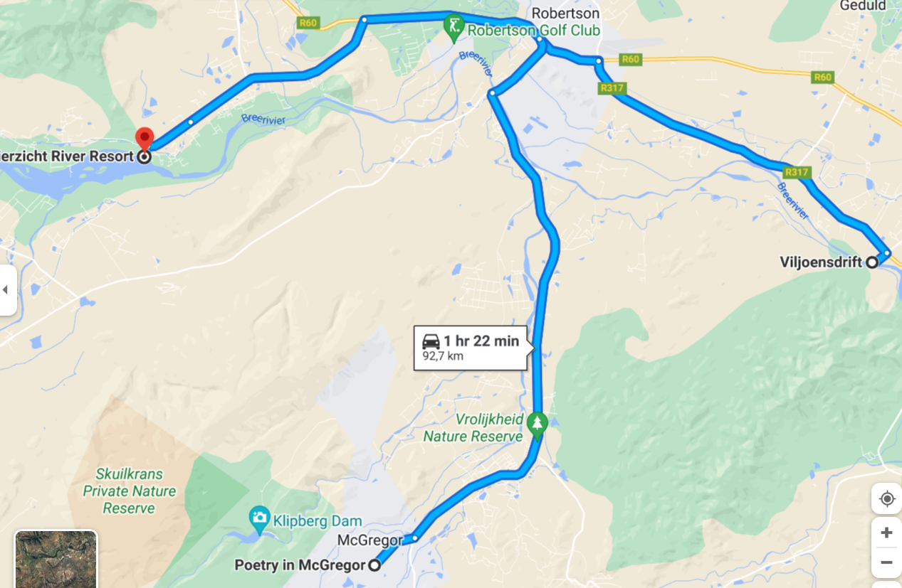
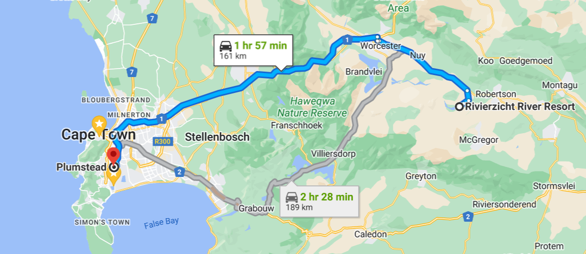
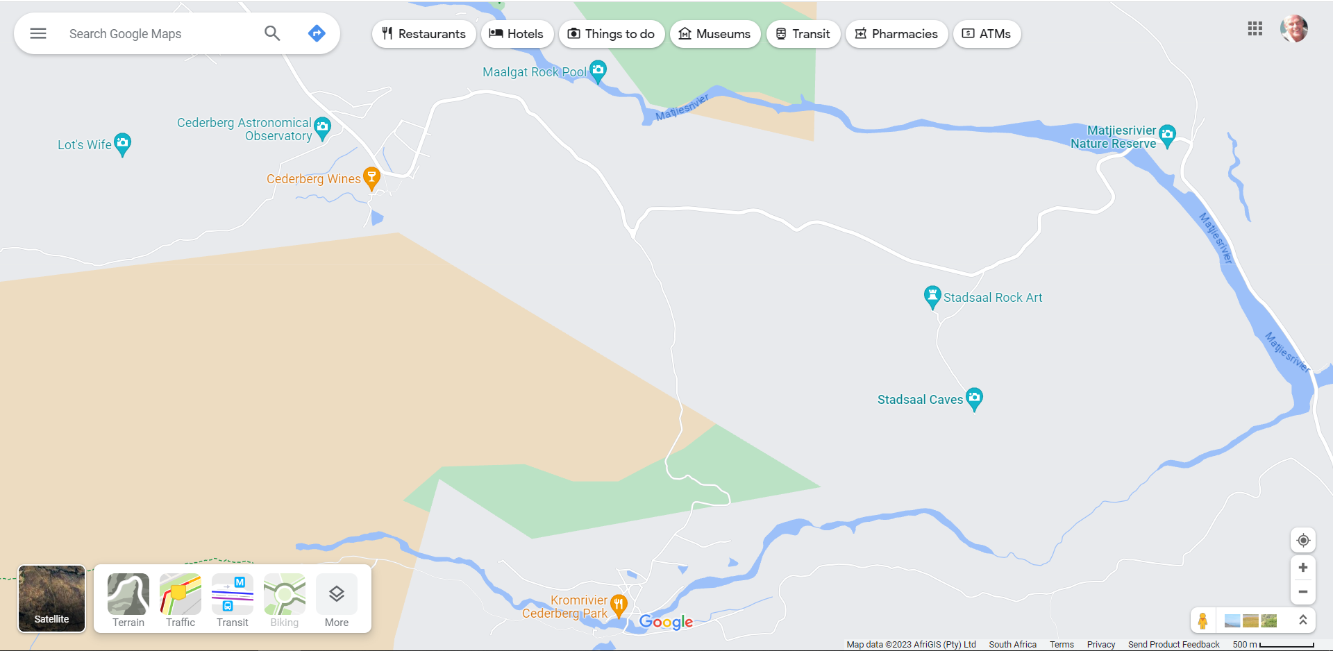
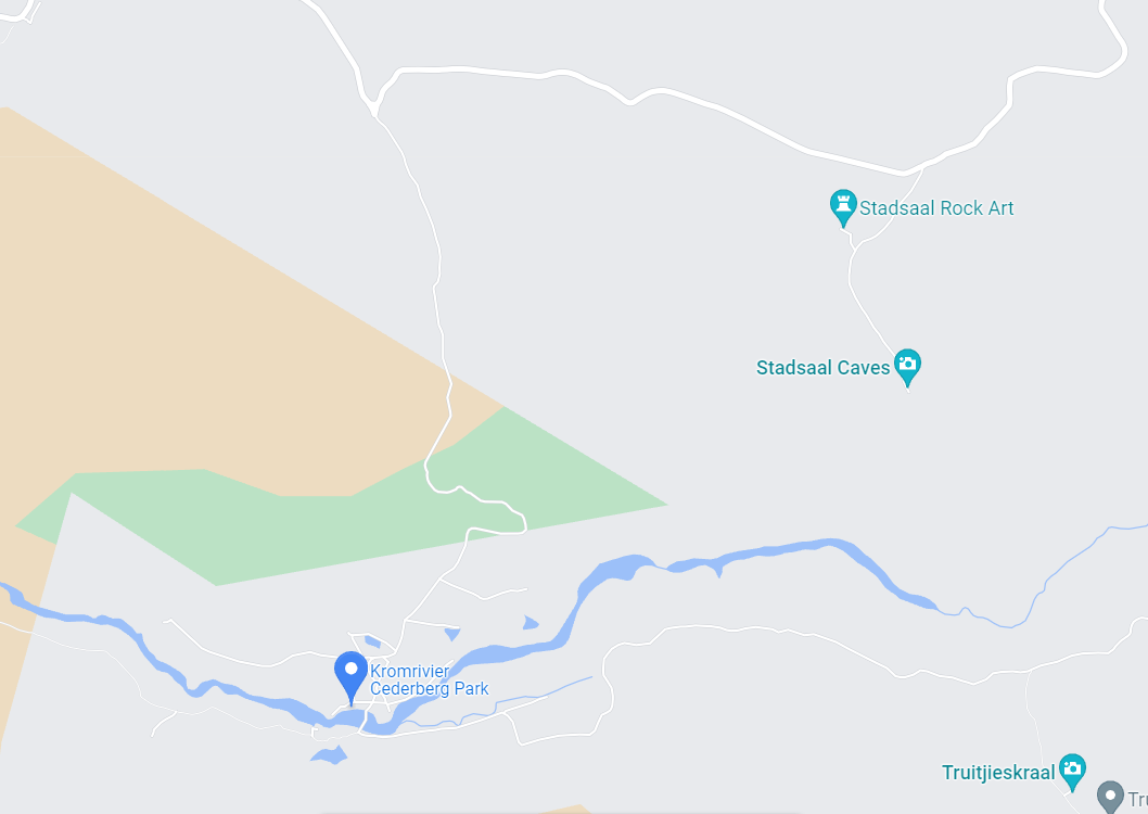
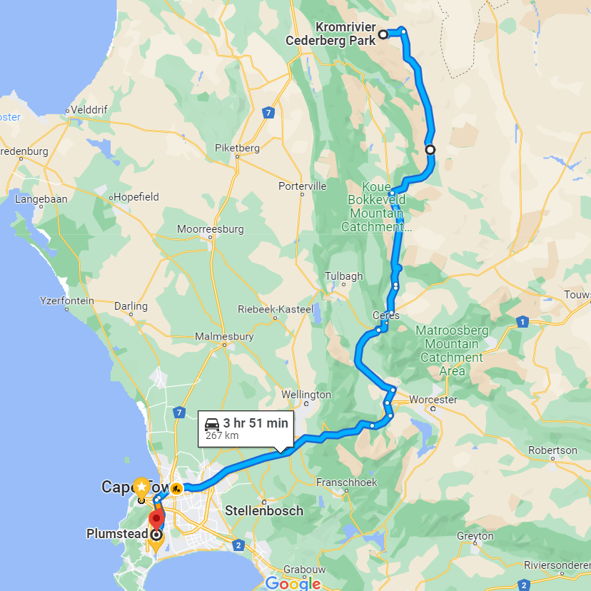
Local Map 

11Nov

Trip #6 Kromrivier and Exploration of the Southern Cederberg Region


TRIP REPORT – Kromrivier – WESTERN CAPE - INLAND REGION – 3, 4 , 5, 6 November 2023 

Departing late morning after a final brief to Marianne, our house-sitter for this trip, Ralph headed out on the N1 using the Toll Road to head to our first proposed stop at Op-Die-Berg, via Worcester and the Ceres. The intention was to fuel up there, lunch and visit a town neither of them had been to before. Jeremy had also planned to try and renew his SA Passport at the temporary Home Affairs Office. (just to see if the system actually works beyond the main city centres).


Arriving at Op-Die-Berg, Ralph was filled up at the local co-op and Andrea and Jeremy wandered into the adjoining store to enquired about a good spot for lunch. They were directed to a small coffee establishment with a difference... The local store was a treat of hardware items and excellent pricing, from tools, to gumboots and everything in between to provision the local farming community.


The Wonderlik Restaurant was truly "wonderful", the large hangar was divided into 3 sections comprising the restaurant seating area, loosely sectioned off by antique cupboards and book case room dividers from the farm machinery and new sales tractors. A further sliding divider hid the workshop from view but the smell of oils grease and diesel were apparent. Service was prompt, the coffee potent and prices as only found in the Platteland. It was a remarkable place of interest, historicial features and a working and sales establishment adding to its uniqueness. The Owner's interests came through in the well-stocked library, wooden and gut Slazenger and Dunlop tennis rackets and classic vehicles most notably a 50's era Holden Monaro Fastback, in left-hand-drive.   


Leaving Op-Die-Berg after determining that the Home Affairs only visit twice a month (and for collections only), they were informed that Ceres would be the best bet. Heading north again, they abruptly and with no warning, traversed from tar to the gravel, which would be the new normal for the next few days until returning via this route. The route became more and more remote with kilometres of driving without seeing the dust of another vehicle in the distance. Some sixty kilometres later, of breathtaking landscape and occasionally rough twisty and narrow sections of gravel road, they reached Oasis, and the Leopard Trust before branching of left, just before the Maatijies River, to head due west for the Kromrivier Campsite. Switching over to the Garmin due to loss of mobile signal they were directed via the Truitjieskraal Road which was particularly narrow, steep and very stony before descending into the valley again where our accommodation came into view with the mountain range and river as backdrop.


After a quick check in at reception they headed back through the campsite and formal cabins to the tented luxury accommodation south of the river bank. The tented cabin was well-thought out and privately situated with good account of the summer sun movement and prevailing winds in the area offering a secluded and protected outside braai area to complement the well appointed kitchen with convection plates and microwave along with the usual fridge and dry vitel storage areas. Neat, clean and orderly with everything accounted for without being cluttered.


Following a little orientation walk after unpacking they set out to braai outside on a perfect spring evening which promised clear skies for star viewing later that night. The skies did not disappoint. Saturday morning they were up early to breakfast with a plan to visit Lot's Wife and the local wine farm 15 kilometers away over the short tight pass leading to Cederberg North and the road to Clanwilliam via Algeria. The wine farm never disappoints as an oasis nestled in a wide valley now overgrown with vineyard in all compass directions. The Nieu Brew distillery now having moved away from the Kromrivier (as shown on Google), and now very much working alongside the wine farm which also host a permit office for Cape Nature. Here they enjoyed the historical offerings of old wine farm implements and the introduction of wine farming to the region. After making reservations to join the astronomical society for the evenings start gazing, they moved on to Lot's Wife a short distance  from the main road via an easy footpath.


With plenty of time in hand after visiting Lot's Wife they headed east to explore some of the roads heading in the direction of the Maaitjies River, before retracing their steps back down the pass into the Kromrivier Valley with the intention of cleaning up before enjoying a restaurant meal for supper and then going directly back up the pass to join the visitors who had signed up for a visit to the astronomical center. Arriving at Reception with one other couple in a Jimny, they were met by a closed sign and no sign of an operational kitchen... Plan B quickly took effect with a hurried return to base to defrost some meat and braai once again. The skies meanwhile were gathering high altitude cloud which didn't bode well for star gazing. (They learned from the couple in the Jimny that the skies did eventually open at 2000 and the viewing was indeed very good). The thing about 2200 is that its about sixty minutes after Jeremy's usual sleep time.


The plan for Sunday was to obtain the key code for the Stadsaal Caves and Rock Art to explore these areas. Firstly assisting a nearby family with a flat battery with quick intervention to stop the folk who were already attending, from having mismatched polarity and some melted cables. After breakfast they set off at 1000 back over the pass on to Stadsaal. Here they spent a few hours in the various caves and chambers taking may photographs of the rock art and various rock formations the area has to offer.


Other than one other family the area remained uncrowded and without other visitors for the hours they spent at Stadsaal. They had also got lucky with the weather and the gentle breeze and the mild 26 degrees, making the visit much more manageable. The evening plan was a little different. Another braai!!! Monday morning they dropped off their keys and headed back on the same route via the Truitjieskraal Road to retrace their path of Friday. They couldn't resist stopping in at the quaint farm shoppe/restaurant at Op Die Berg again, for coffee and a comfort break. Then, on towards Wolseley and a stop at Rietdakkie Farm Stall and Kitchen on the R43. A beautiful establishment on the road between Wolseley and Worcester, hosting wonderful local gifts, fruits, jams and rusks. With a quirky decor and stunning bathrooms in a lovely setting, this is a gem of a place and worthy of a stop.


Returning home via the N1 and tunnel they made good time with a gentle tail wind helping to make for a very economical journey. On this trip they had managed to tick off a few passes, including the Gydo, Blinkberg, Grootrivier and Kromrivier.

More Images

Summary Aspects:

Total Distance: 596 KM. 45 litres of diesel. 7.65 L/100km.

Mass: – 395kg of 675kg max GVM allowed.

Accommodation: Luxury tent 4 Days, three nights.

Itinerary: Short visit to explore the rock art and caves of the Kromrivier Valley.

Weather: Hottest at 26 degrees full sun, coldest 12 degrees. Rainfall nil. Wind, light breeze, occasional in the late afternoon.

Signal Comms and GPS: Using GPS working with coordinates due to spotty cellular coverage. No issues. No cell coverage over most of the valley and the accommodation area. Complementary wifi from the Kromrivier Reception. No internet.

Forgotten items:  Nothing forgotten for a change!! 

Maps:


See Kromrivier Gallery